How Ice Carved Norway's Fjords Over Millions of Years
Glaciers ground U-shaped valleys deep below sea level over millions of years; when the ice melted, the sea flooded in. How Norway's fjords were really carved.
Key takeaways
- A fjord is a glacially carved U-shaped valley whose floor was gouged below sea level and then flooded when the ice melted.
- Glaciers erode by abrasion — rock debris in the ice grinding like sandpaper — and by plucking, which tears bedrock fragments free.
- Norway's Sognefjord stretches 204 km inland and plunges 1,308 m deep, with mountains rising 2,000 m around it.
- Fjord floors are a staircase of deep basins separated by shallower sills, where thinner ice eroded less or moraines piled up.
- Carving the fjords took millions of years of repeated ice ages; Sognefjord alone required removing about 4,000 cubic km of rock.
Norway's fjords are drowned valleys that glaciers carved far below sea level. Over millions of years of ice ages, rivers of ice ground U-shaped troughs into the coastal mountains; when the ice finally melted and retreated, the sea flooded in behind it. Every sheer cliff rising from those dark waters is a monument to erosion on a geological scale.
Glaciers don't push rock — they grind it
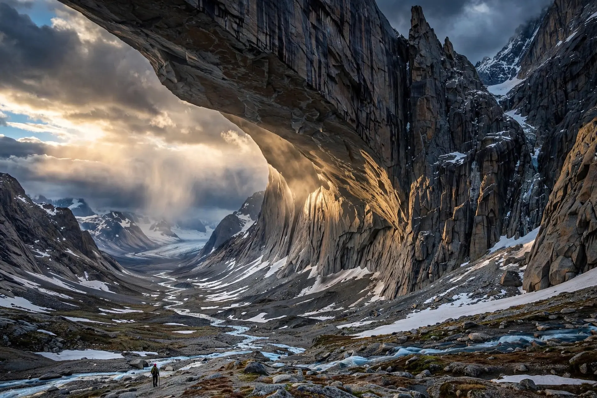
Glacial ice is too soft to erode much on its own. The carving is done by the rock the ice carries. As a glacier slides, fragments embedded in its base scrape and gouge the bedrock beneath — abrasion, essentially sandpaper on a continental scale. A second process, plucking, works where meltwater under pressure refreezes around bedrock obstacles and the moving ice tears those fragments free, like a chisel pried loose by a frozen grip. Valley glaciers usually start in river valleys, which they then deepen and widen as they flow downslope. The result has a signature shape: a wide valley with a flat bottom and steep sides — a U, where rivers cut Vs. Where such a U-shaped valley reaches the coast and its floor lies below sea level, the sea fills it, and the result is a fjord. The deepest parts of a fjord hold the key to the whole story. Glaciers overdeepened these valleys, gouging floors to depths far below modern sea level — often hundreds of metres deeper than the adjacent continental shelf. This happens because ice flow concentrates in pre-existing depressions, intensifying erosion exactly there, while harder rock formations resist the grinding. Those resistant points become the shallower submarine thresholds, or sills, that typically guard a fjord's mouth — formed where the ice was thinner near the glacier's end and where its terminal moraine piled debris. The classic fjord is therefore not a smooth trough but a staircase: deep basins separated by shallower sills, descending from the valley's head to the sea. The sills, built of rock or glacial deposits, restrict water exchange with the open ocean and shape each fjord's circulation and ecology.
Millions of years of ice
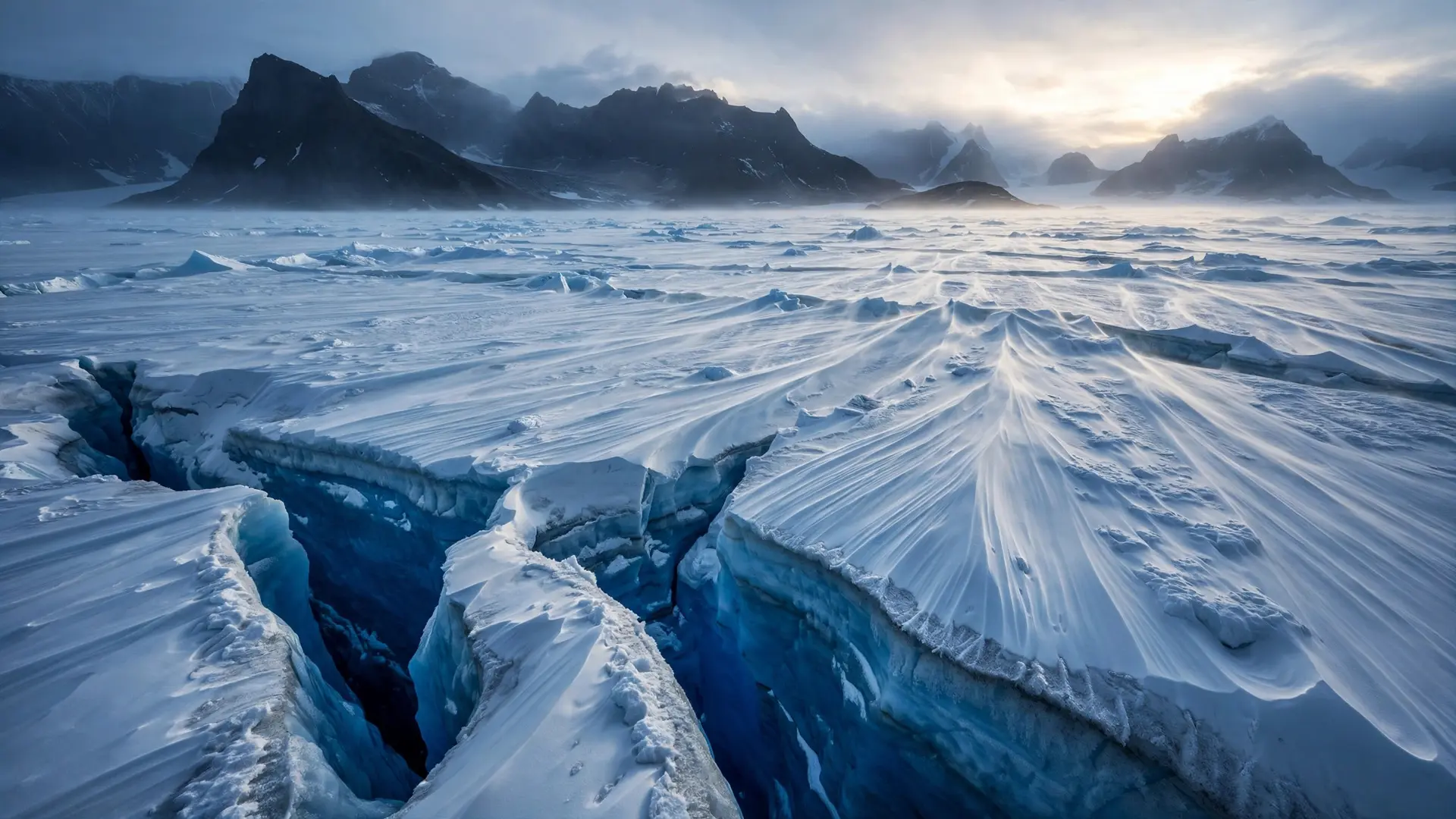
None of this happened in a single ice age. The classic fjords were shaped by the repeated glaciations of the Pleistocene, the epoch that began about 2.58 million years ago and buried vast portions of the northern hemisphere under ice again and again. Each advance reoccupied and deepened the old valleys; each retreat let the sea probe further in. The scale of material moved beggars imagination. Carving Norway's fjords meant removing entire mountain ranges — for Sognefjord alone, glacial erosion took away an estimated 4,000 cubic kilometres of rock. The ice sheets also depressed the Earth's crust under their weight by hundreds of metres; when they melted, the crust began a slow rebound that continues in places today at up to 10 millimetres per year, a process UNESCO cites as scientifically significant in the fjord landscape. The last great act came after the Last Glacial Maximum, about 20,000 years ago. As the glaciers retreated for the final time, the overdeepened valleys were invaded by seawater, and the modern fjord landscapes were born. The Himalayas were built by a different kind of slow violence — continents colliding rather than ice grinding — but the lesson is the same: landscapes are sculpted by forces that outlast every human timescale.
Sognefjord and the West Norwegian fjords
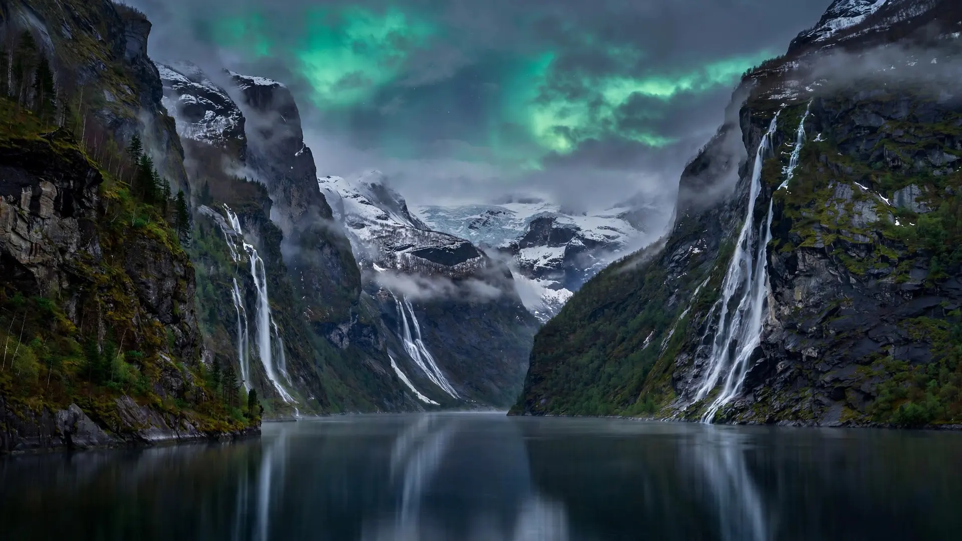
Sognefjord is the giant of them all: 204 kilometres long, the longest fjord in Norway and the second longest in the world, plunging to 1,308 metres — Norway's deepest. Mountains rise 2,000 metres around its dark water, making the basin one of the most extreme relief gradients on Earth's surface: more than three kilometres from seafloor to summit within a few kilometres of horizontal distance. Further north, Geirangerfjord and its neighbour Nærøyfjord — an arm of the Sognefjord — were inscribed on UNESCO's World Heritage List in 2005. They are considered the type locality for fjord landscapes: the place geologists point to as the definitive example. Their narrow, steep-sided crystalline rock walls rise up to 1,400 metres from the Norwegian Sea and plunge 500 metres below it. The two fjords sit 120 kilometres apart, and together they display the full textbook inventory — hanging valleys, high cliffs, moraines, till deposits, waterfalls, and the submarine moraines that are the undersea remnants of glacial activity.
Hanging valleys deserve a special mention, because they reveal the carving in cross-section. Where a smaller tributary glacier met the main glacier's trough, the main ice eroded far deeper, leaving the tributary's valley hanging high above. Its stream now falls as a waterfall down the fjord wall — which is why the sheer cliffs of Geirangerfjord are streaked with falling water, and free-flowing rivers run through forest to glacial lakes above. The walls look so vertical partly because of an optical trick of the U-shape. Glacial erosion undercuts at the base and edges of the glacier, so the lower, more horizontal part of the U lies far underwater; what you see from a boat is only the upper wall, rising nearly straight from the water's edge.
Fjords beyond Norway
Norway owns the archetype, but not the monopoly. Greenland's fjords reach more than 300 kilometres inland and exceed 1,500 metres in depth, among the largest on the planet. Chile's coastline is scored with fjords the locals call senos or fiordos. New Zealand's Fiordland guards glacier-carved inlets like Milford Sound, and Scotland's sea lochs are the same landform under a different name. Anywhere Pleistocene ice met a drowning coastline, the same machinery left the same signature.
What a fjord is not
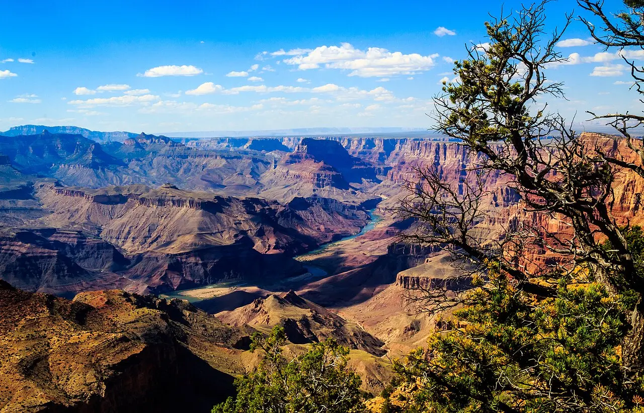
Two misconceptions are worth clearing up. First, fjords are not carved by rivers. A river can only cut down to sea level; a glacier, thick and heavy, can gouge far below it — which is why fjord floors lie beneath the waves. Drowned river valleys exist too, but geologists call them rias, a different landform with a different origin, much as the Grand Canyon was carved by water, not ice. Second, a fjord's depth is not uniform. That staircase profile — deep basins, shallow sills — means the mouth can be far shallower than the interior. Sail into a fjord and you may cross a threshold of rock or moraine before the bottom falls away beneath you: the visible echo of where the ice thinned and the glacier laid down its load. Stand at the head of Sognefjord and you are standing at the end of a 2.58-million-year project, executed by ice that is now gone, in valleys that rivers had already begun. The glaciers did not so much invent these valleys as finish them — grinding, plucking, and overdeepening until the sea itself could move in. What remains is geology you can sail through.
Frequently asked questions
Did rivers carve the fjords?
No. Fjords are drowned glaciated valleys; glaciers did the carving, not rivers. River-carved valleys are V-shaped, while glacial valleys are U-shaped with flat bottoms and steep walls. Drowned river valleys do exist — they are called rias or estuaries — but they are fundamentally different in origin.
Why are fjords so deep?
Glaciers overdeepened the valleys, gouging their floors hundreds of metres below modern sea level — often deeper than the adjacent continental shelf. The thickest ice near the glacier concentrated its erosion in depressions, while harder rock resisted and became the shallower sills at the fjord's mouth.
How long did it take to carve Norway's fjords?
Millions of years. The classic fjords were shaped by repeated glaciations during the Pleistocene, which began about 2.58 million years ago. For Sognefjord alone, glacial erosion removed an estimated 4,000 cubic kilometres of rock.
Where else in the world are there fjords?
Classic glacial fjords also line the coasts of Greenland — whose fjords reach over 300 km inland and 1,500 m deep — Chile, where they are called senos or fiordos, and New Zealand. Scotland's equivalents are known as sea lochs.