How Do Meteorologists Predict Tornadoes Minutes Ahead?
How do meteorologists predict tornadoes? They track a storm's spin on Doppler radar and issue warnings minutes ahead. See the full pipeline, step by step.
Key takeaways
- Most tornado warnings go out before any tornado exists: forecasters warn on rotation that Doppler radar sees inside a thunderstorm, not on a spotted funnel.
- Average warning lead time is about 13 minutes, up from roughly 3 minutes before nationwide Doppler radar arrived in the early 1990s.
- About 3 in 4 tornado warnings are false alarms, because only 20-25% of rotating supercells ever produce a tornado.
- The Storm Prediction Center issues outlooks 1 to 8 days out, then watches that cover hours, before local warnings go out for minutes.
How do meteorologists predict tornadoes minutes ahead? They never truly predict the tornado itself; instead, they forecast the storm's spin. Days ahead, the Storm Prediction Center flags regions where tornadoes are possible. Minutes ahead, Doppler radar spots rotation inside a thunderstorm and forecasters issue a warning. The surprise is that radar cannot see a tornado on the ground at all. The payoff is about 13 minutes of lead time on average, per NOAA's NSSL. Here is how those minutes are built.
- About 13 minutes of lead time on average. NSSL says tornado-warning lead time has "leveled off at around 13 minutes, on average" with Doppler radar and spotter reports. Source
- It used to be about 3 minutes. Before the nationwide Doppler network of the early 1990s, warnings went out roughly three minutes before touchdown; radar raised that to 10-15 minutes. Source
- Three out of four warnings are false alarms. About 75 percent never produce a verified tornado, because most rotating storms never make one. Source
- Only 20-25 percent of rotating supercells produce tornadoes. A supercell is a thunderstorm with deep, persistent rotation, yet most spin without forming a tornado. Source
- Seven in ten confirmed tornadoes were warned for. About 70 percent of confirmed tornadoes occur inside an active warning, a rate that has doubled since the mid-1980s. Source
How do meteorologists predict tornadoes before they form?
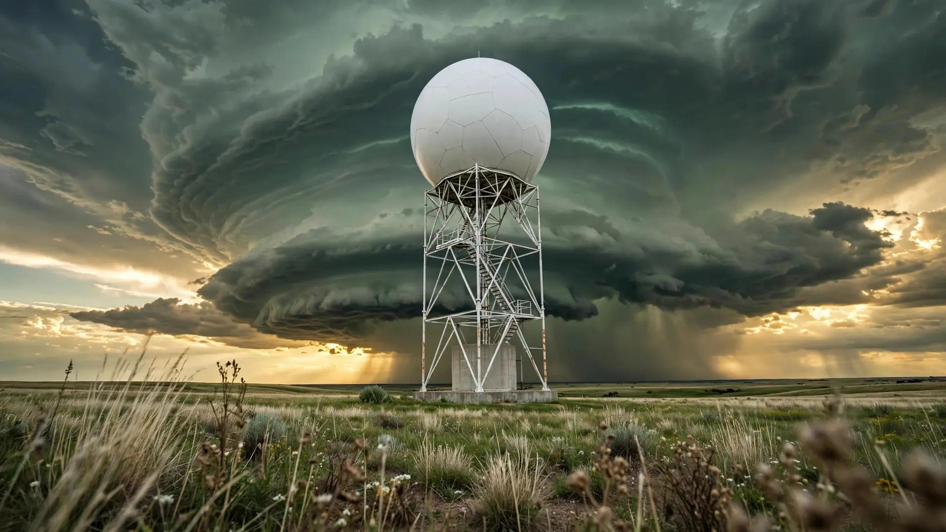
They predict the storm, not the tornado. A warning is a forecast that a specific spinning thunderstorm is about to drop one. Forecasters look for two things: a favorable environment (moisture, instability, wind shear) and a storm already rotating on radar. The rotation shows up in a radar product called base velocity. Radar pulses bounce off raindrops and hail and shift depending on whether the particles move toward or away from the dish: greens and blues mark inbound motion, reds and oranges mark outbound. When both sit tight together, something inside the storm is spinning fast, and removing the storm's forward motion reveals storm-relative motion, which the National Weather Service calls an excellent snapshot of hidden circulations.
There is a catch built into the physics. A radar beam rises with distance, so the farther a storm is, the higher above the ground the beam samples. For a storm 100 nautical miles (about 185 km) away, the beam center is over 12,000 feet (3,657 metres) above the surface: radar watches rotation churning miles up but cannot see a funnel at the ground. That is why trained storm spotters still matter, and why NSSL lists Doppler radar and spotter reports as the two main resources forecasters use when deciding to warn. Dual-polarization radar, the big upgrade to the US network in the past decade, tells tumbling debris apart from raindrops, so a tornado lofting wreckage shows a debris-ball signature even at night or inside a rain-wrapped storm. That has greatly improved confirmation of tornadoes no eye can see.
How does a tornado watch become a warning?
Prediction works as a countdown through three tiers, each covering a shorter time and a smaller area:
| Time before touchdown | Product | Issued by | What it tells you |
|---|---|---|---|
| 1 to 8 days | Convective outlook | Storm Prediction Center, Norman, Oklahoma | Marginal to High risk, by probability of severe weather within 25 miles (40 km) of a point |
| 1 to 6 hours | Mesoscale Convective Discussion | Storm Prediction Center | Technical briefing with the probability a watch will be issued |
| 6 to 8 hours | Tornado watch | Storm Prediction Center, agreed with local NWS offices | Tornadoes possible across tens of thousands of square miles; stay alert |
| About 13 minutes | Tornado warning | Local NWS office | A storm in your county is producing a tornado or showing rotation strong enough to warn on; take shelter now |
| Days ahead, forecasters run the Global Forecast System to spot trouble regions, switch to high-resolution models like the NAM and HRRR as the event nears, then fold in live satellite and radar to pin down timing and location, per the National Weather Service. Closer in, the Storm Prediction Center proposes a watch to affected local offices and holds a conference call to settle the type, counties, and timing. A watch is a heads-up, not a prediction of a tornado. Tornado Watch #511, issued November 5, 2017 for Indiana and Ohio, was followed by more than a dozen tornado reports. Watches can be canceled, reissued, or reshaped as conditions change. | |||
| The final step is the warning, and it moves fast. A local forecaster studies the storm on radar, then uses software called WarnGen to draw a polygon over the threatened area and push the text to NOAA Weather Radio, TV, radio, and phones. In the November 5, 2017 watch, the Cleveland NWS office warned a small part of north-central Ohio at 4:58 PM local time; the warning lasted 32 minutes and contained a tornado whose path never exceeded 400 yards (366 metres) wide. Most people inside the polygon were never touched, which is typical. Unlike hurricane track forecasts, which arrive days in advance (see how forecasters predict a hurricane's path), a tornado warning is measured in minutes. |
Why are three out of four tornado warnings false alarms?
Because forecasters warn on storms that might become tornadoes, not only on ones they can see. Only one in four warnings ends up with a verified tornado inside the warned area. That is not carelessness; it is arithmetic. Strong rotation aloft often means nothing reaches the ground, since only a fifth to a quarter of rotating supercells produce tornadoes. Waiting for visual confirmation would gain accuracy and lose lives. Forecasters are open about the tradeoff. "We want to err on the side of caution. It's not an option to miss one," said Chad Omitt, warning coordination meteorologist at the National Weather Service forecast office in Topeka, Kansas, in a 2014 interview. The tools keep improving. NOAA's Warn-on-Forecast project tests models that project individual thunderstorms hours ahead; so far they can predict strong rotation inside storms, the model equivalent of a tornado forecast, though they cannot yet predict individual tornadoes, NSSL says. Impact-based warnings were another answer to the false-alarm problem. Since 2014, warnings carry tags saying whether the tornado was observed or only radar-indicated, plus damage-threat tags like "Considerable" or "Catastrophic" for the worst events, so a radar-indicated rotation no longer reads the same as a confirmed violent one.
What do most people get wrong about tornado predictions?
The biggest mistake is reading a warning as a sighting. Most warnings are issued on radar-indicated rotation alone. It means "a tornado may be in progress or could form at any moment," not "a tornado is on your street." Another myth: a green sky guarantees a tornado. Green-tinted clouds do appear in severe storms, but color alone predicts nothing; rotation on radar is what counts. For the full explanation of the color, see why the sky sometimes turns green before a tornado, and for more storm-cloud anatomy, what mammatus clouds reveal about a storm. People also assume tornadoes are an American problem, full stop. The most violent ones are concentrated in the USA, Canada, and Bangladesh, but the Met Office reports around 30 tornadoes a year in the UK, typically 20 to 100 metres (65 to 328 feet) wide with winds of 75 to 100 mph (120 to 180 km/h), on a track of about a mile (1.6 km). Britain has little need of the US-style warning system, since its tornadoes are small and short-lived. Tornado season shifts with the hemisphere: spring peaks in the central US, while Australia's tornadoes favor September to February. A tornado warning is a bet placed at speed: radar sees spin miles up, a forecaster judges it tornadic, and a polygon goes out with about 13 minutes on the clock. Most bets miss, by design. A false alarm costs an afternoon in the basement; a missed warning is measured in lives. How we made this article: FactSpire researched and drafted it with AI assistance and checked every fact against the sources listed above.
Frequently asked questions
How much warning time do you get before a tornado?
On average, about 13 minutes. NSSL research puts tornado-warning lead time at roughly 13 minutes, up from about 3 minutes before nationwide Doppler radar arrived in the early 1990s. Some tornadoes get far less warning or none at all: brief, rain-wrapped, or nighttime tornadoes can form and dissipate between radar scans.
Can meteorologists predict a tornado days in advance?
No. Forecasters can flag the conditions that favor tornadoes up to 8 days out through the Storm Prediction Center's convective outlooks, but no model can say which storm will spin up a tornado. The specific where and when is decided minutes ahead, once Doppler radar shows rotation inside a thunderstorm.
Why do tornado warnings happen when nothing touches down?
Because forecasters warn on rotation, not on confirmed tornadoes. Only 20-25% of rotating supercells produce a tornado, so about three-quarters of warnings turn out to be false alarms. Issuing more warnings means more false alarms; issuing fewer means missing real tornadoes.
What does 'radar indicated rotation' mean in a tornado warning?
It means Doppler radar detected strong rotation inside a thunderstorm, but no one has seen a tornado yet. NWS meteorologists warn on this signature to buy lead time. When spotters or dual-polarization radar confirm debris in the air, the warning is upgraded to observed or a radar-confirmed tornado.
Sources
- Case Studies Using the Warn-on-Forecast System, NOAA National Severe Storms Laboratory
- Severe Weather Topics, National Weather Service, Lincoln, Illinois
- Severe Weather Topics, National Weather Service, Lincoln, Illinois
- Severe Weather Watches and Warnings, Penn State University
- Tornado Warning False Alarms: National Weather Service Upgrades to Impact-Based Warning System, The Weather Channel
- Tornadoes, Met Office