The Lut Desert: The Hottest Land Surface on Earth
NASA satellites measured Earth's hottest ground in Iran's Lut Desert: 70.7°C on dark volcanic gravel. Here's the recipe behind the planet's fiercest heat.
Key takeaways
- In 2005, NASA's MODIS satellites recorded a land surface temperature of 70.7°C in the Lut Desert, the hottest ground reading ever measured.
- An 18-year follow-up found Lut tied with Mexico's Sonoran Desert, with both reaching 80.8°C at the surface.
- Dark volcanic sand with low albedo, dry rocky ground, and a mountain ring that traps still air make the desert a perfect heat collector.
- Surface temperature is not air temperature: the official air-temperature record remains 58.0°C, set in Libya in 1922.
The hottest ground on Earth is not in the Sahara, and it is not in Death Valley. It is in Dasht-e Lut, a salt desert in southeastern Iran, where NASA's MODIS satellites recorded a land surface temperature of 70.7°C — about 159°F — in 2005. That single reading remains the hottest patch of ground ever measured from orbit, and the desert claimed the planet's top spot in five of the seven years scientists studied. The reason is a simple recipe: dark ground, dry air, still skies, and nowhere for the heat to go. Lut's terrain matches every ingredient, which is why researchers at the University of Montana went looking there in the first place.
Why does the Lut Desert get so hot?
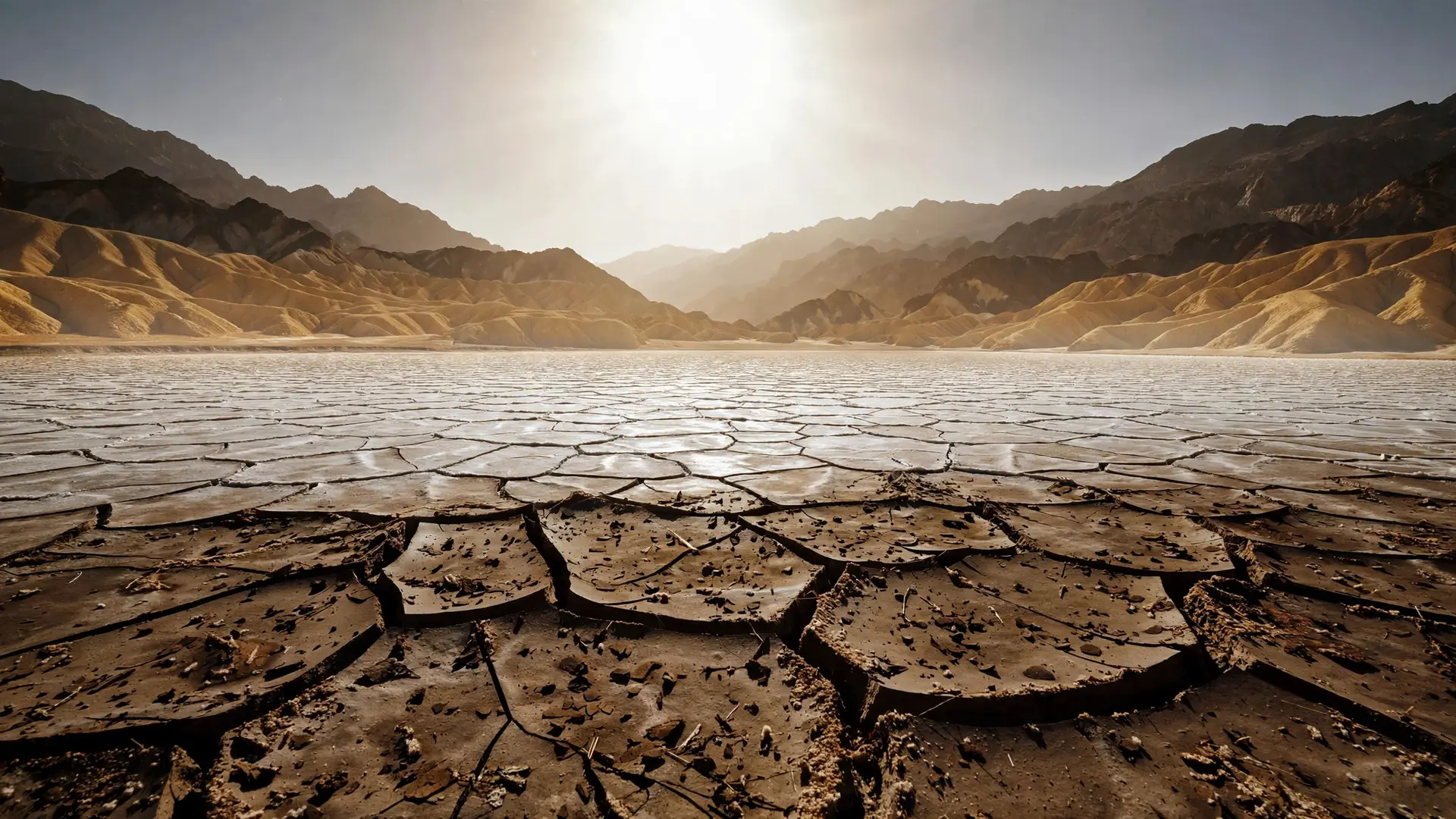
Heat builds up where sunlight is absorbed rather than reflected, and Lut's ground is built to absorb. More than half of the desert's surface is dark volcanic rock, and stretches of its sand were blackened by ancient lava flows. Dark surfaces have a low albedo, meaning they reflect little sunlight and soak up most of it as heat. In NASA's infrared images of the desert, the dark gravel-covered plains glow the brightest — they are the hottest — while paler sands nearby stay comparatively cooler because they reflect more sunlight away. The ground itself also holds the heat. Rocky, dry soil conducts heat poorly, so the sun's energy pools in the top few centimeters instead of spreading deeper or dispersing into moist soil. And Lut sits in a natural oven: mountains ring the desert on nearly all sides, blocking winds and weather systems. This creates a rain shadow that keeps the region hyper-arid — some areas receive barely any rain at all — and the bowl of peaks limits air movement, so the heated air above the ground has nowhere to escape. The name tells the story. In Persian, "lut" means a bare land stripped of water and vegetation, and the desert has no plants to cool the surface through shade or evaporation. When water is scarce, heat accumulates without check.
How did satellites find the hottest ground?
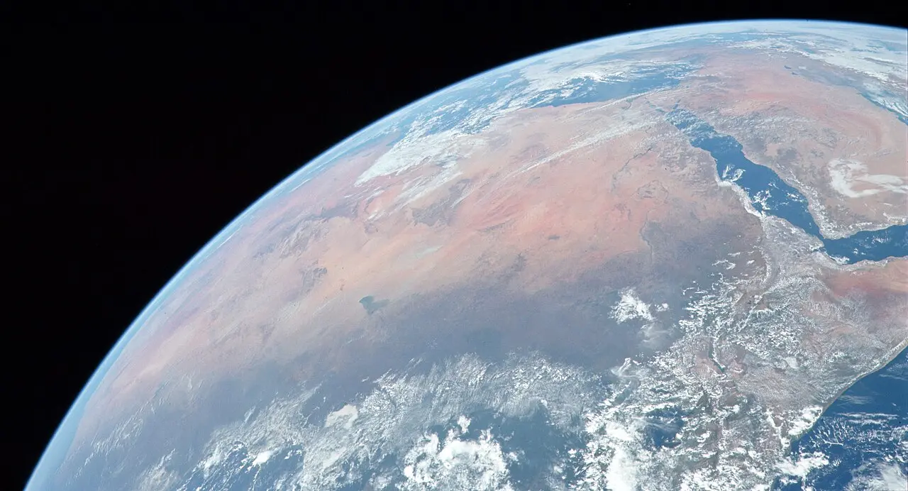
The World Meteorological Organization runs about 11,119 weather stations across Earth's land surface — roughly one for every 13,000 square kilometers. That sounds like a lot, but deserts like the Sahara, the Gobi, the Sonoran, and the Lut are so remote and punishing that routine instruments cannot be installed or serviced there. Ground-based thermometers simply miss most of Earth's true hot spots. That is where satellites come in. NASA's MODIS instruments, flying on the Terra satellite since 1999 and Aqua since 2002, scan the entire planet's surface every day and detect the infrared energy radiating from the ground — its land "skin" temperature. When ecologist Steve Running and colleagues scrutinized seven years of global MODIS data, from 2003 to 2009, they found the Lut Desert in five of those years. The 2005 reading of 70.7°C was more than 12°C warmer than the official air temperature record from Libya. Later work only sharpened the picture. An analysis of eighteen years of MODIS data, from 2002 to 2019, ranked Lut as sharing the title of hottest surface on Earth with the Sonoran Desert in Mexico, with both topping out at 80.8°C. The location of the hottest spot shifts from year to year — Queensland's shrublands took it in 2003, China's Flaming Mountains in 2008 — but the conditions never change: dry, rocky, and dark.
Not the same as the hottest air temperature
Here is the common misconception: the Lut Desert does not hold the record for the hottest air temperature. That title still belongs to El Azizia, Libya, where a weather station reached 58.0°C in September 1922, according to the World Meteorological Organization. Death Valley's famous 56.7°C from July 1913 comes second.
The distinction matters. Air temperature is measured out of direct sunlight, between one and two meters off the ground, because the human body, a building, or an ecosystem experiences the air. Land surface temperature is something else: the pure heating of the ground itself by radiation from the sun, the atmosphere, and other heat flows. Anyone who has walked barefoot across hot pavement on a summer day knows the difference — the surface under your feet feels far hotter than the air around your head. Scientists measured that gap as early as 1915, when soil just below the surface near Tucson, Arizona, hit 71.5°C at midday while the air four feet above sat at 42.5°C. So when the Lut's dark plains climb past 70°C, the air above them can be far cooler. It is still one of the most punishing places on the planet — drier than even the Atacama, which at least gets a few millimeters of rain — but its record is a ground record, not an air one.
What the desert actually looks like
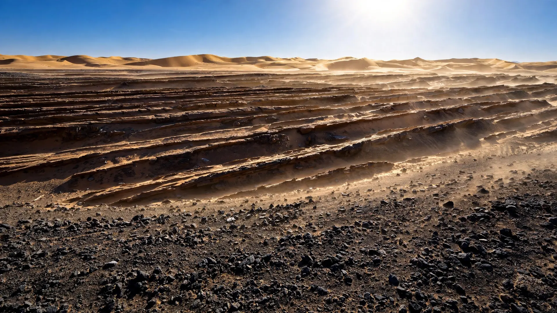
From space, the Lut resembles an alien landscape. Between June and October each year, intense winds blow from the northwest and sandblast the bedrock into long corrugated ridges called yardangs — Lut holds some of the finest examples of them on Earth, according to UNESCO. In the southeast, the rust-colored sand seas pile into some of the world's tallest dunes, rising up to 470 meters above the desert floor. The desert's extremes go beyond heat. It is a salt desert crossed by dry riverbeds and salt flats, and it was added to UNESCO's World Heritage List in 2016 precisely because of this rich variety of spectacular landforms. For all its harshness, it is also a natural laboratory: researchers use decades of surface temperature data from places like Lut to monitor how land use changes the climate. Cut a forest and the exposed ground runs hotter; irrigate a field and it cools. The Lut Desert remains largely empty of people and stations, but it is watched closely from orbit — the only way to take the temperature of the hottest ground on Earth. In the end, Lut's record is a reminder that "hottest" depends on what you measure and how. By the thermometer in the shade, Libya and Death Valley still lead. By the raw heat of the ground itself, this bare Iranian plain, ringed by mountains and paved in dark volcanic rock, is where Earth gets hottest.
Frequently asked questions
Is the Lut Desert really the hottest place on Earth?
For land surface temperature, yes. Satellite data showed Lut held the highest surface temperature on Earth in five of seven years studied, peaking at 70.7°C in 2005. The official record for air temperature is a separate matter, still held by Libya's 58.0°C.
Why is the ground so much hotter than the air there?
Air temperature is measured one to two meters above the ground and shielded from direct sun. Land surface temperature measures how hot the ground itself gets under solar radiation, and dark, dry, rocky ground like Lut's absorbs far more heat than the air holds.
What does the Lut Desert look like?
It is a vast salt desert of wind-carved yardang ridges, towering dunes up to 470 meters high, and dark volcanic gravel plains. UNESCO inscribed it on the World Heritage List in 2016 for its spectacular desert landforms.
Sources
- Where Is the Hottest Place on Earth?, NASA Earth Observatory
- The Hottest Spot on Earth, NASA Earth Observatory
- Iran's Lut Desert, NASA Earth Observatory
- Decision 41 COM 8B.49 — Statement of Outstanding Universal Value for the Lut Desert, UNESCO World Heritage Centre