Why Is Minnesota's Northwest Angle Cut Off From the US?
Minnesota’s Northwest Angle exists because the 1783 Treaty of Paris used a bad map. The Mississippi was drawn northwest of where it actually starts.
Key takeaways
- The Northwest Angle is a Minnesota pene-exclave, cut off from the rest of the state by Lake of the Woods and reachable by land only through Canada.
- It is the only place in the contiguous United States north of the 49th parallel.
- The 1783 Treaty of Paris drew the border using John Mitchell's 1755 map, which misplaced the Mississippi River's source.
- The 1842 Webster-Ashburton Treaty formalized the Angle, giving the US 123 square miles (319 sq km) of land on Canada's side of the lake.
- About 119 people live there; nearly 80% of the Angle is water, and most of the land is undeveloped forest.
Minnesota's Northwest Angle is the thumb sticking out of the top of the state: a piece of America surrounded by water and Canada, reachable by land only through Manitoba. It exists because the diplomats who wrote the 1783 Treaty of Paris defined the border using John Mitchell's 1755 map, which put the source of the Mississippi River in the wrong place. The error took 59 years and three treaties to settle.
- Minnesota's northern boundary was first formed by the Treaty of Paris (1783); the treaty said the boundary would run to the northwest point of Lake of the Woods and then due west to the Mississippi, but Mitchell's 1755 map contained errors that made this a geographical impossibility. (Minnesota Historical Society)
- By 1803 British explorers had proven the Mississippi started south, not northwest, of Lake of the Woods, exposing the boundary gap. (Minnesota Historical Society)
- The Convention of 1818 closed the gap with a due north-south line from the lake's most northwest point down to the 49th parallel. (Minnesota Historical Society)
- Surveyors in the 1820s marked the most northwest point about 27.5 miles (44 km) north of the 49th parallel. (Minnesota Historical Society)
- The 1842 Webster-Ashburton Treaty formalized the creation of the Northwest Angle, with the US acquiring 123 square miles (319 square km) of land on the Canadian side of Lake of the Woods. (Minnesota Historical Society)
- The Angle is home to just 119 residents, nearly 80% of it is water, and 70% of the land is held in trust by the Red Lake Indian Reservation. (Atlas Obscura)
How did a bad map strand a corner of America?
The Mitchell Map was the best map of North America anyone had in 1783, measuring 4 feet 6 inches by 6 feet 5 inches. But west of Lake Superior it had two fatal flaws: Lake of the Woods was drawn as a tidy oval rather than a sprawling lake with multiple bays, and the Mississippi River was shown starting to the west of the lake rather than to the south. The treaty borrowed the map's geography wholesale: the boundary would run "through the Lake of the Woods to the northwesternmost point thereof, and from thence on a due west course to the river Mississippi." Once explorers found the Mississippi's actual source, Lake Itasca, almost due south of the lake, the treaty's border became nonsense. A line drawn due west from the lake's northwest point would never meet the river. Officials were more willing to change their maps than the wording of the agreement, so the fix was a geometric patch: drop a line straight south from the northwest point to the 49th parallel, then run west along the parallel. The little rectangle trapped between the lake, the dropped line, and the parallel became the Northwest Angle, the only place in the contiguous United States north of the 49th parallel.
Three treaties, one rectangle
| Year | Treaty or survey | What it did |
|---|---|---|
| 1783 | Treaty of Paris | Drew the border using the flawed Mitchell Map, creating a "geographical impossibility" |
| 1818 | Convention of London | Patched the gap with a north-south line from the lake's northwest point to the 49th parallel |
| 1820s | Joint boundary commission | Surveyed the lake and fixed its northwest point about 27.5 miles north of the 49th parallel |
| 1842 | Webster-Ashburton Treaty | Formalized the Angle: the US gained 123 sq miles of land on Canada's side of the lake |
| Secretary of State Daniel Webster and British emissary Lord Ashburton had actually met to settle a Maine boundary dispute; the Northwest Angle was the bonus round. By reconciling the 1783 and 1818 boundaries, they drew the chimney on Minnesota's map for good. |
What is it like to live in a cartographic error?
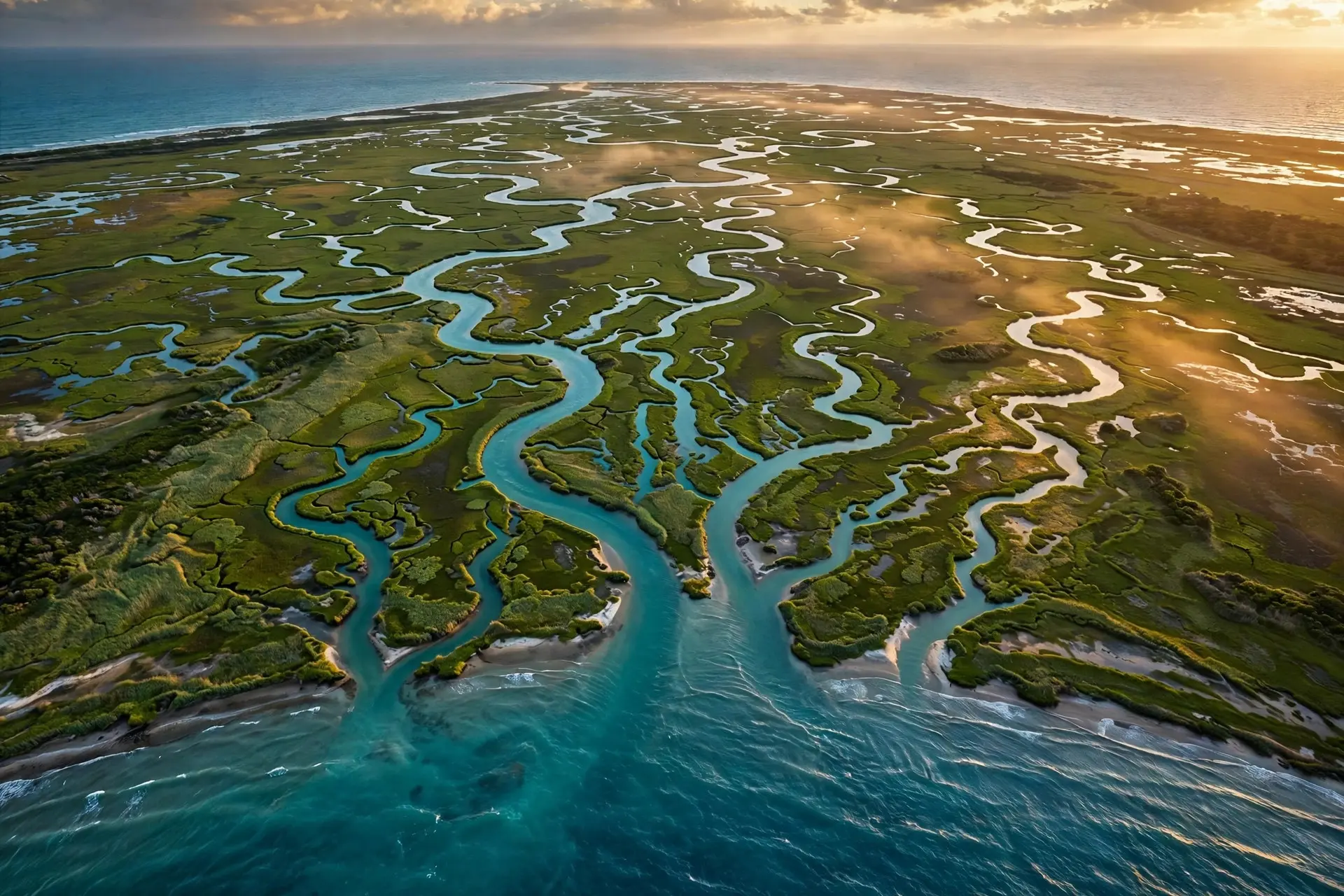
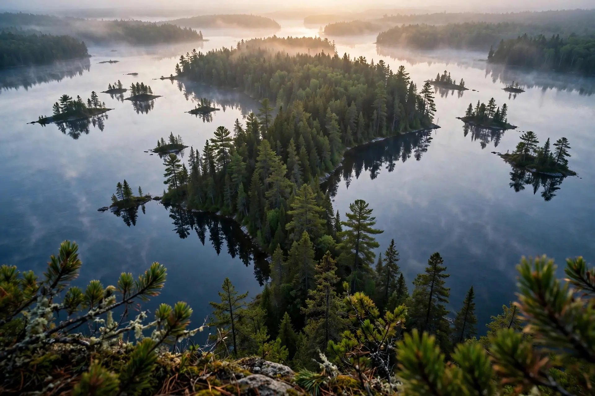
Remote. The Angle is coextensive with Angle Township in Lake of the Woods County, bordered by Manitoba to the west and Ontario to the north and east. Nearly 80% of it is water; the land is mostly undeveloped forest, islands, and marshes, with the communities of Angle Inlet, Oak Island, and Penasse tucked in among them. About 119 people live there full time. Getting in or out is an exercise in border theater. The "sensible" route crosses Lake of the Woods itself: by boat in summer, float plane, or ice road in winter. The overland route is gloriously absurd: check out of the United States at the border station where Minnesota Highway 313 meets Manitoba's Provincial Road 12, drive about 40 miles on gravel through Canadian bush, then re-enter the US on an unmanned gravel road. There is nobody to stamp your passport, so both governments require travelers to declare themselves on one of three videophones posted in the woods. Two border crossings each way, only one of them manned. And yet the Angle endures as a community, not just a curiosity. Most of the land is held in trust by the Red Lake Indian Reservation. There is a still-used one-room schoolhouse, a fixture that tells you how small and how stubborn the community is: a handful of families, a single classroom, and a flag on the far side of the lake from the rest of their state. (Atlas Obscura) Residents fish, hunt, and run small resorts for the visitors who come to stand in the northernmost point of the continental United States. The Northwest Angle is the American counterpart to Point Roberts, Washington's exclave on the Canadian border, also born of 19th-century line-drawing. For the European version of the stranded-territory story, there is Kaliningrad, Russia's Baltic exclave. But the Angle is the only one that exists because someone drew a river in the wrong place and then refused to move the line. How we made this article: FactSpire researched and drafted it with AI assistance and checked every fact against the sources listed above.
Frequently asked questions
How do you get to the Northwest Angle?
Two ways, both odd. You can cross Lake of the Woods by boat, float plane, or winter ice road. Or you can drive: leave the US at the border station where Minnesota Highway 313 meets Manitoba's Provincial Road 12, drive about 40 miles through Canada, and re-enter the US on a gravel road with an unmanned station, declaring yourself on one of three videophones in the woods.
Why is it called the Northwest Angle?
Because of its shape on the map: a chimney-like nub jutting north from Minnesota into Canada, created when surveyors dropped the border straight south from the northwesternmost point of Lake of the Woods to the 49th parallel. Locals just call it 'the Angle.' It is coextensive with Angle Township in Lake of the Woods County.
What was wrong with the Mitchell Map?
John Mitchell's 1755 map, considered the most detailed map of North America at the time, drew Lake of the Woods as a neat oval instead of a sprawling multi-bayed lake, and showed the Mississippi River starting west of the lake instead of south of it. The Treaty of Paris used the map to define a border that was geographically impossible: a line from the lake's northwest point due west to a river that starts to the south.
Do people in the Northwest Angle want to join Canada?
Occasionally some residents express a desire to secede, but mostly Angleites live in what one account calls wild tranquility. About 70% of the land is held in trust by the Red Lake Indian Reservation, and the community keeps a still-used one-room schoolhouse. It is an outpost of wilderness first and a border anomaly second.
Sources
- Minnesota State Boundaries, Minnesota Historical Society (MNopedia)
- Northwest Angle in Angle Inlet, Atlas Obscura
- The Boundary at the Lake of the Woods, Minnesota Historical Society