How River Deltas Build New Land From River Sediment
Where rivers meet the sea, dying currents drop their cargo of mud and sand — and new land rises from the water. Inside Earth's greatest land-building machines.
Key takeaways
- When a river meets the sea, its current slows and loses energy, so gravel drops first near the mouth while fine clay settles farthest out.
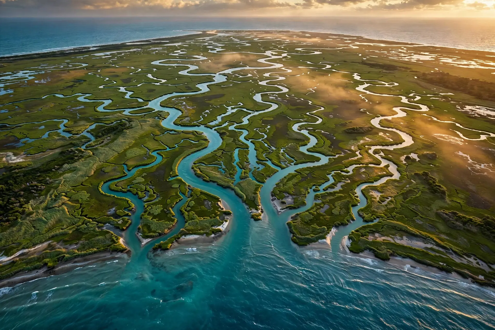
- Sediment chokes the main channel, forcing the river to split into distributaries that weave the familiar branching delta network.
- Louisiana's Wax Lake and Atchafalaya deltas first rose above water after the 1973 flood and now grow by roughly 2.8 square kilometers per year combined.
- The Ganges-Brahmaputra Delta, at around 100,000 square kilometers, is the largest delta on Earth and supports more than 130 million people.
- Herodotus coined the word 'delta' after the Greek letter Δ, struck by the triangular fan the Nile spreads across Egypt.
A delta is a river's way of building land out of open water. Where a river meets the sea, its current dies, the mud and sand it has carried for a thousand kilometers settle out, and grain by grain a new coastline is born. In Louisiana, scientists are watching this happen in real time: fresh ground rising from the Gulf of Mexico, year after year, in a place where almost everything else is sinking.
What happens when a river reaches the sea?
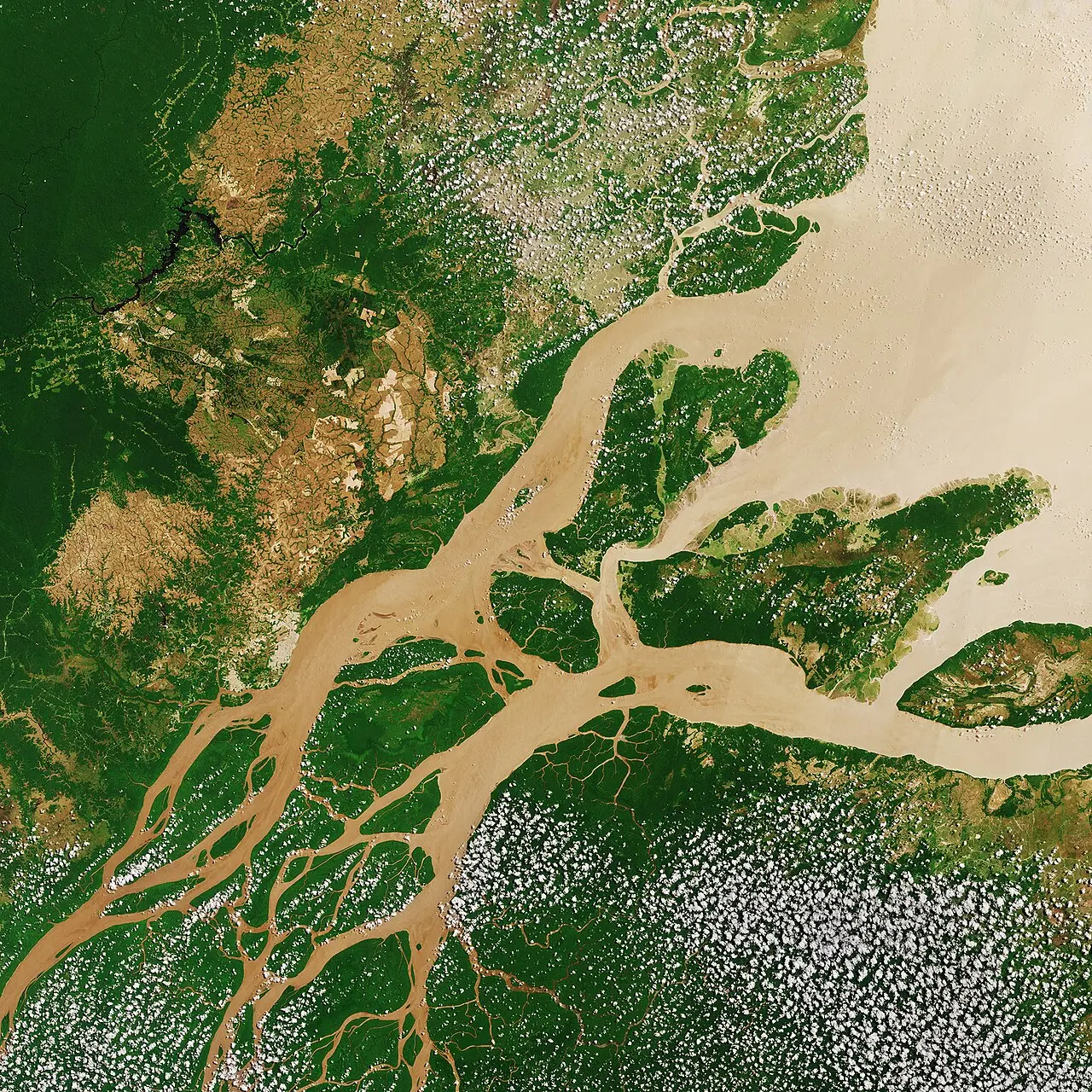
A river's carrying power comes entirely from its speed. The Mississippi River, crawling along at a surface speed of about two miles per hour, still hauls roughly 159 million tons of sediment to the Gulf every year — gravel, sand, silt, and clay mined from half a continent. The moment that water reaches the ocean, the machine switches off. The confinement of the channel disappears, the flow spreads and slows, and the energy that kept the load aloft simply vanishes. What follows is a settling contest the river cannot win. Like a tired traveler dropping heavy bags first, the current dumps the coarsest material near the mouth while fine silt and clay drift farther out before sinking. Layer after layer of this alluvium accumulates, the water shallows, and eventually the deposits break the surface as land. Geographers divide the finished product into three zones — the upper delta plain, the lower delta plain, and the subaqueous delta still hiding below the waves — but all three are the same story: a river exhaling its cargo. And the river cannot keep its own road open. The very sediment it drops eventually chokes its channel, so the flow punches out new, shorter routes to the sea. Each branch is called a distributary, and the splitting never really stops. A delta is not a fixed piece of geography. It is a river arguing with itself about which way to go.
Why is delta land so fertile?
Alluvium is free fertilizer, mined from mountains and plains upstream and delivered by water. That is why deltas became civilization's first farmland. The Nile's fan across northern Egypt fed ancient Egypt for millennia, and it was there that the Greek historian Herodotus, struck by the triangular shape, coined the word "delta" after the Greek letter Δ — a name that outlived the civilization that inspired it. The greatest of them all lies half a world away. The Ganges, Brahmaputra, and Meghna rivers converge on the Bay of Bengal to build the Ganges-Brahmaputra Delta, the largest delta on Earth at around 100,000 square kilometers. Its soil feeds rice paddies across Bangladesh and West Bengal, its Sundarbans mangroves — the largest mangrove forest in the world — shelter the Bengal tiger, and more than 130 million people live on land that a river built grain by grain. No other landform feeds so many people per square kilometer. Rivers that refuse to die at the sea reshape their coasts too. The Amazon, which carries an even larger water flow than the Ganges-Brahmaputra system, builds a surprisingly modest delta because strong Atlantic tides and currents scatter its sediment into the deep sea. Where the sea fights back, the delta shrinks.
Can new land really appear in our lifetime?
Yes — and you can find the proof on the Louisiana coast. In 1941, the U.S. Army Corps of Engineers dredged the Wax Lake Outlet, a flood-relief channel carrying about forty percent of the Atchafalaya River's water into Atchafalaya Bay. In the 1950s, geologists noticed mud piling up in the bay. Then the severe flood of 1973 dumped so much sediment that new land broke above the waterline for the first time — the birth, in a single season, of a delta.
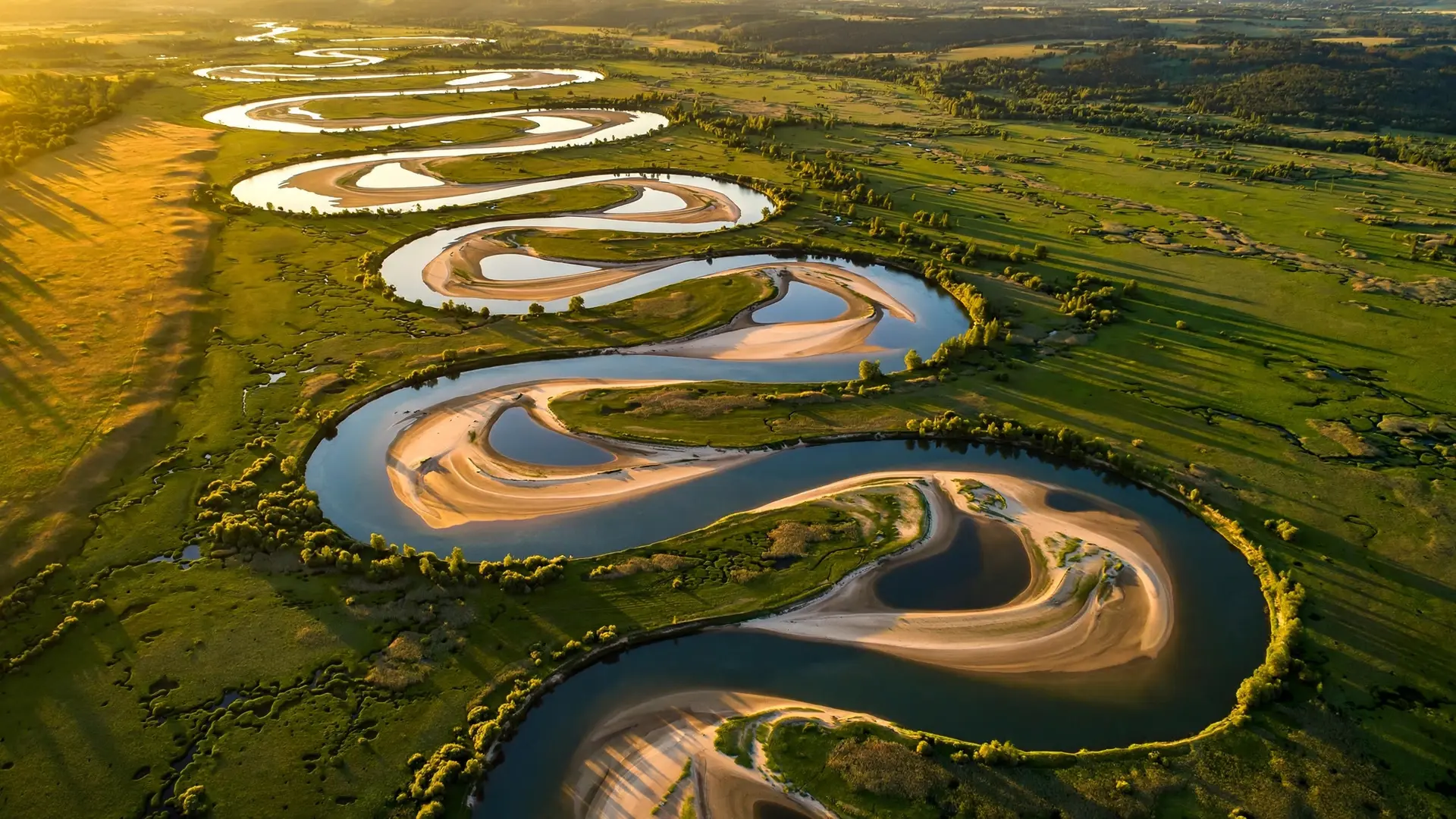
It has been growing ever since. Louisiana State University scientists estimate the Atchafalaya and Wax Lake Outlet deltas combined add about 2.8 square kilometers of new land per year — the Atchafalaya side growing faster at roughly 1.6 square kilometers a year thanks to dredging that feeds it extra sediment, while the undredged Wax Lake side grows at about 1.2 square kilometers a year in a more natural, symmetric fan. NASA aircraft have mapped the growth with radar and lidar, and the researchers found something poetic: on a growing delta, water flows in every direction, even uphill with the incoming tide, spreading sediment through the marshes like a fan. This is happening under strict management. The Old River Control Structure, completed in the 1960s, caps the Atchafalaya at thirty percent of the Mississippi's flow — geologists believe that left to nature, most of the Mississippi would have abandoned its current channel for the Atchafalaya by now. Like so many rivers, the Mississippi wants to switch course; the question is only whether humans let it. No river is better at restlessness — the same physics that bends channels into S-curves, explained in our piece on why rivers meander, eventually builds entire new coastlines.
Why are deltas disappearing elsewhere?
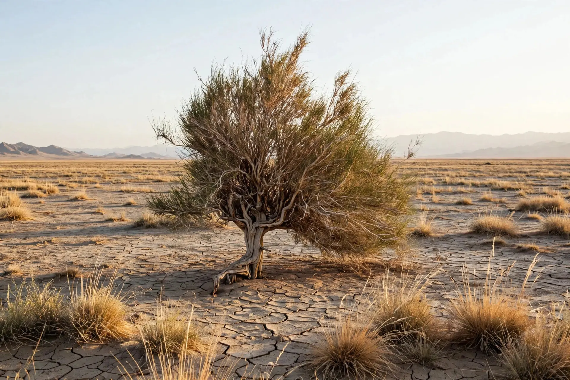
Here is the paradox of the Louisiana coast: while the Wax Lake Delta grows, the state around it is drowning. Louisiana loses roughly a football field of coastal land every hour — about eighteen square miles a year — to subsidence and the sea. The modern Mississippi Delta is starving, because levees built to stop floods now shoot the river's sediment straight past the marshes and off the continental shelf into the deep Gulf, exactly where it does no good. The machine that built Louisiana is still running, a few dozen miles away, but humans unplugged it from the Mississippi. Rivers that never reach the sea build nothing at all — the cautionary tale is the disappearing Aral Sea, where diverted rivers starved a whole inland sea until it collapsed. Scientists now study the Wax Lake and Atchafalaya deltas as blueprints for rescue. If engineers divert Mississippi water and sediment back into the wetlands, the same way the Wax Lake Outlet did by accident in 1941, new marshes could rise to replace the ones being lost. The river still knows how to build land. It only needs to be allowed to. Deltas are the one place where erosion runs in reverse — where water doesn't tear the land down but builds it up. Every delta on Earth, from the Nile's ancient fan to the infant islands of Wax Lake, is a reminder that coastlines are not finished. They are under construction, one flood at a time.
Frequently asked questions
How long does it take a river delta to form?
Deltas build over centuries to millennia, but growth comes in bursts: Louisiana's Wax Lake Delta rose above water after the 1973 flood and has added roughly 2.8 square kilometers of new land per year since.
Why do deltas split into so many channels?
Deposited sediment chokes the main channel, so the river keeps cutting new, shorter paths to the sea. Each branch is called a distributary.
Are the world's deltas growing or shrinking?
Both. Natural deltas like Wax Lake grow every year, but dammed and leveed rivers starve their deltas of sediment — Louisiana loses roughly a football field of coastal land every hour.