The Wakhan Corridor: Afghanistan's Narrow Passage
A 350-kilometer sliver of Afghanistan separates four countries — and it only exists because 19th-century Britain and Russia feared their empires might touch.
Key takeaways
- The Wakhan Corridor is a roughly 350-kilometer sliver of Afghanistan, barely 16 kilometers wide at points, separating Tajikistan from Pakistan.
- Britain and Russia drew it through 1873, 1893, and 1895 agreements as a buffer so their empires would never share a border.
- Long before diplomats, a Silk Road branch ran through it, crossed by Marco Polo, Hsuan Tsang, and Alexander the Great's armies.
- About 18,000 people live there; nothing lies below 2,500 meters, and temperatures stay below freezing over 300 days a year.
On the map, Afghanistan's northeastern tip reaches east like a long finger pointing toward China. That finger — the Wakhan Corridor, roughly 350 kilometers long and at points barely 16 kilometers wide — is one of the strangest shapes in world geography. It looks like a cartographer's flourish, but it is actually a deliberate invention: two rival empires drew it into existence so their borders would never touch.
A Buffer Zone Between Empires
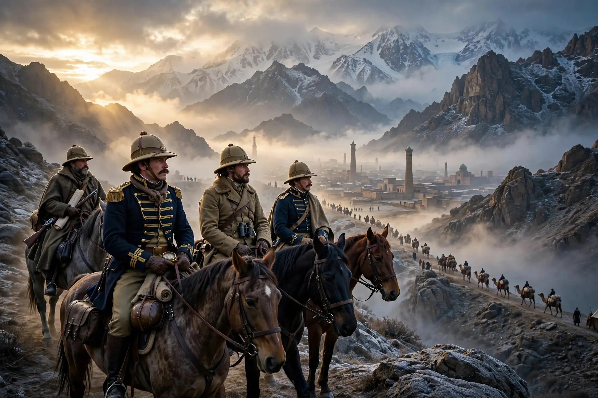
The corridor was not shaped by rivers or mountain ridgelines, at least not directly. It was shaped by fear — specifically, by the 19th-century rivalry between the British and Russian Empires in Central Asia, the diplomatic chess match historians call the Great Game. Britain held India and worried that Russia's steady southward expansion across Central Asia was really a prelude to a thrust toward the subcontinent. Russia, for its part, kept advancing through the Pamirs and Central Asia. Neither side wanted their two empires to share a border, because a shared border would mean a shared front line. So the empires negotiated the problem away. An 1873 agreement between Britain and Russia split the historic region of Wakhan along the Panj and Pamir rivers, putting the northern portion under the influence of Afghanistan rather than Russia. In the south, the 1893 Durand Line agreement fixed the boundary between Afghanistan and British India. And in 1895, an Anglo-Russian agreement finalized the arrangement, leaving a narrow strip of land in Afghan hands as a neutral cushion between the two powers.
The result was exactly what the diplomats wanted: from the Russian-controlled Pamirs to British India, there was now no direct contact anywhere. A century later, that same strip still separates Tajikistan from Pakistan, with Afghanistan touching China only at its far eastern tip, the Wakhjir Pass. Strange as the shape looks, it is one of history's clearest examples of a border drawn by politics rather than geography.
A Passage Older Than the Empires
There is a deep irony in all this. Long before diplomats used it as empty space, the Wakhan was one of the busiest passages on Earth. A branch of the Silk Road ran straight through this high valley, carrying caravans between China and Central Asia. The travelers who crossed it are a roll call of the ancient world's great wanderers. Marco Polo passed through in the 13th century, and the region still honors him in the name of the Marco Polo sheep, the great-horned wild sheep of the Pamirs. The Chinese monk Hsuan Tsang crossed it centuries earlier, as did the armies of Alexander the Great. For all these travelers, the Wakhan was never a backwater — it was a main road. That history matters because it corrects a common misunderstanding: the corridor was never designed as a corridor in the modern sense of a trade route or highway. It was designed as a wall. Yet the wall was built across a road, and the road was there first. The empires borrowed a piece of the ancient Silk Road and repurposed it as a fence, which is why so much of the corridor's geography — the river valleys, the passes — is really a story of caravans and lost cities repackaged as geopolitics.
Life at the Roof of the World
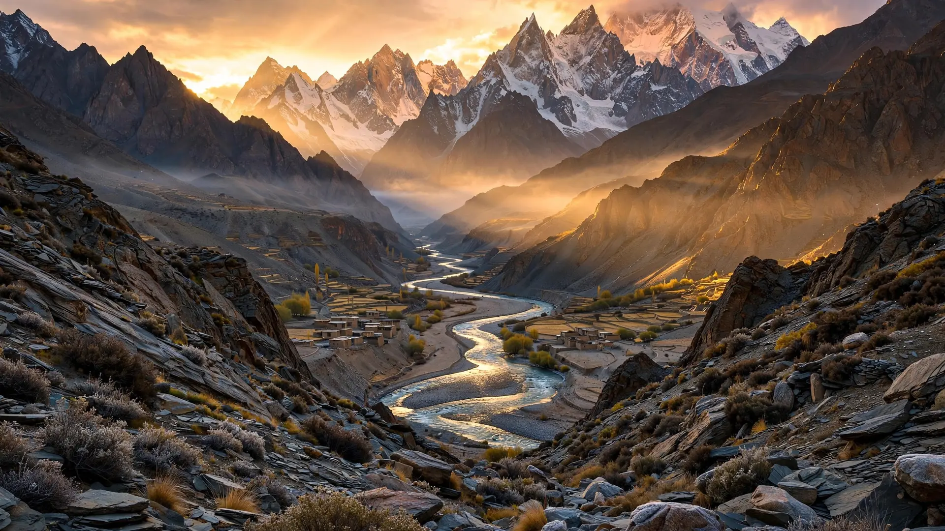
The other thing the map gets wrong is emptiness. The Wakhan is not empty space. Around 18,000 people live there today, in one of the most physically demanding environments on the planet. The lower valleys are home to the Wakhi, sedentary farmers who cultivate hardy crops on flood plains along the Wakhan, Pamir, and Panj rivers, while higher up live small numbers of Kyrgyz nomads with their yaks. Nothing in the corridor lies below 2,500 meters of altitude, and at its eastern end, the Pamir Knot — where the Hindu Kush, Pamir, and Karakoram ranges converge — is sometimes called the Roof of the World.
Life here is shaped by isolation as much as by altitude. Roads are scarce; much of the corridor is still traversed on foot or by yak, mule, and camel. For more than 300 days a year, temperatures sit below freezing, and even minor illness can turn fatal without access to medical care. The Wakhi are mostly moderate Ismaili Muslims, followers of the Aga Khan, and their culture differs sharply from much of the rest of Afghanistan. Remarkably, that isolation has also been a kind of shelter. Decades of war elsewhere in Afghanistan barely touched the Wakhan, and in recent years some residents have told journalists they had almost no knowledge of the conflicts that convulsed their country. The corridor the empires invented as a political abstraction turned out to be a refuge for the people actually living in it.
The Corridor's Modern Afterlife
Today the Wakhan sits at the intersection of new rivalries. Its eastern tip touches China's Xinjiang region, and Beijing has periodically floated infrastructure projects through the area. Pakistan looks south from Gilgit-Baltistan, and the corridor's position near Central Asia draws the attention of Russia and regional powers alike. Yet the strip remains essentially what it was designed to be: a separator. The Wakhjir Pass to China is effectively sealed, and the corridor's borders — to Tajikistan, Pakistan, and China — are some of the most tightly closed frontiers in Asia. The people inside live largely as they have for generations, trading yaks and cattle with the few traders who reach them. The Wakhan Corridor is a reminder that maps are arguments. Every border on a map is a claim about who matters and who doesn't, and this one was a claim that two empires mattered more than the valley between them. But valleys outlast empires. The buffer the diplomats drew in 1895 is still there on the map, separating four countries — and underneath it, older than all of it, runs the river the Silk Road caravans followed a thousand years ago. The finger on the map was never really empty. It was always a place.
Frequently asked questions
Why does the Wakhan Corridor exist?
Britain and Russia created it via 1873, 1893, and 1895 agreements as a neutral cushion between their empires during the Great Game rivalry.
Who lives in the Wakhan Corridor?
Around 18,000 people — Wakhi farmers in the lower valleys and Kyrgyz nomads higher up, mostly Ismaili Muslims living much as they have for generations.
Was the Wakhan always a remote backwater?
No — a Silk Road branch ran through the valley for centuries before empires repurposed the ancient trade road as a political fence.