The Andes: The World's Longest Mountain Range
The Andes stretch 8,900 km through seven countries — the longest continental mountain range on Earth, crowned by Aconcagua and still rising today.
Key takeaways
- The Andes stretch roughly 8,900 km through seven South American countries, making them the longest continental mountain range on Earth.
- Aconcagua, at 6,961 m, is the highest peak outside Asia and the tallest in the Western Hemisphere.
- The range is still rising as the Nazca Plate slides beneath South America, powering volcanoes and earthquakes.
- The Andes create a rain shadow that helped form the Atacama Desert, one of the driest places on the planet.
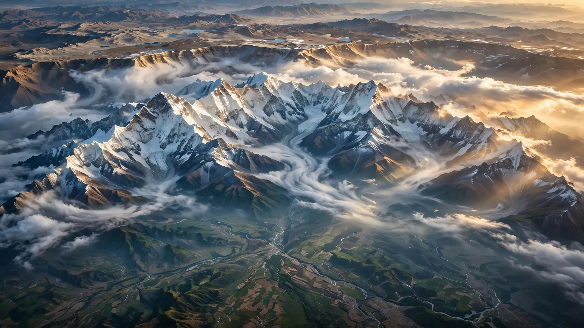
The Andes run for roughly 8,900 kilometres along the western edge of South America, passing through seven countries from Venezuela to Argentina and Chile. No other mountain range on land comes close to that length. The range averages about 4,000 metres in height, carries the tallest peak outside Asia, and is still being built today by the same tectonic forces that shaped it.
What makes the Andes the longest range on Earth?
Sheer continuity. The Andes form one unbroken highland — Spanish speakers call it the Cordillera de los Andes — that tracks the Pacific coast of an entire continent, running north to south through Venezuela, Colombia, Ecuador, Peru, Bolivia, Chile and Argentina. At its widest, between about 18°S and 20°S latitude in Bolivia, the range spreads some 700 kilometres across, a belt wide enough to hold high plateaus, parallel ridges and deep valleys side by side. The range is not uniform. Geographers split it into three broad sections: the Northern Andes in Colombia, Ecuador and Venezuela, where the range frays into three branches; the Central Andes in Peru and Bolivia, home to the vast Altiplano plateau — the second-highest plateau in the world after Tibet's; and the Southern Andes in Argentina and Chile, tapering southward toward Patagonia. Climatically the range divides into the Tropical, Dry and Wet Andes, a shorthand for just how many different worlds one mountain chain can contain. Its superlatives stack up fast. Aconcagua in Argentina rises 6,961 metres above sea level, the highest point in the Western Hemisphere and the tallest anywhere outside the Himalayan system. Ecuador's Chimborazo holds a stranger record: because the Earth bulges at the equator, its summit is the point on the surface farthest from the planet's center. And the Andes hold the world's highest volcanoes, including Ojos del Salado on the Chile–Argentina border at 6,893 metres.
How did the Andes get so tall?
The Andes are a textbook convergent margin. Off South America's western coast, the oceanic Nazca Plate is sliding eastward and diving beneath the continental South American Plate along a trench at the ocean's edge. That subduction has been squeezing the western rim of South America for tens of millions of years, folding and thickening the crust and lifting it skyward. It is the same family of plate-tectonic forces that raised the Himalayas, but with a different geometry: ocean meeting continent instead of continent meeting continent. Crucially, the process has not stopped. The Nazca Plate is still being consumed, which is why the Andes sit on the Pacific Ring of Fire and why the region suffers some of the strongest earthquakes on record. The 1960 Valdivia earthquake in Chile, magnitude 9.5, remains the most powerful ever measured by seismometers; the 2010 Maule (8.8) and 2015 Illapel (8.2) quakes struck the same subduction zone. The volcanoes tell the same story: four distinct volcanic belts run along the range, fed by magma rising from the sinking plate. The geology also made the Andes absurdly rich. The forelands of the Atacama hold some of the largest porphyry copper deposits on Earth, which puts Chile and Peru first and second among the world's copper exporters. The dry central Andes produced the Salar de Atacama, now a major source of lithium, and Bolivia's Salar de Uyuni holds the world's largest lithium reserves. Bolivia's Cerro Rico de Potosí once yielded legendary silver riches, mostly depleted now — but its mines funded empires.
What does the range do to South America's climate?
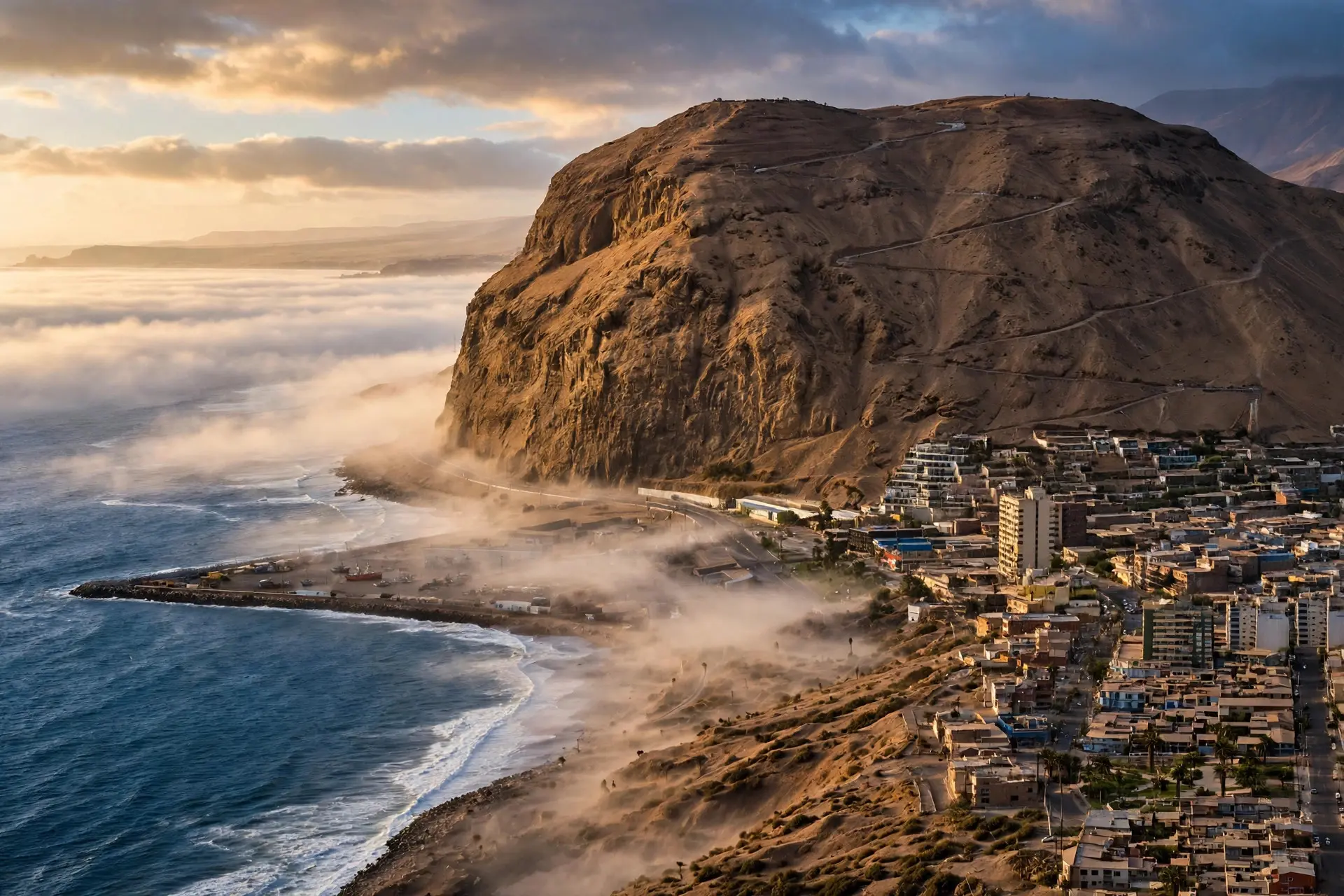
The Andes function as a continental-scale weather wall, and the clearest proof sits at their feet: the Atacama Desert, one of the driest places on the planet. As the mountains rose, they cast a rain shadow over the Chilean coast. Moisture-laden Pacific winds dump their rain on the western slopes and arrive on the far side as dry air. Ocean currents and prevailing winds reinforced the effect, and the result is a desert where some weather stations have never recorded rain. On the eastern side, the story flips. The Andes trap Atlantic moisture on their eastern slopes, feeding cloud forests and, ultimately, the great rivers of the continent. The Amazon, Orinoco and Gran Chaco basins all begin in these mountains. That asymmetry — desert on one side, rainforest on the other — explains why the range is stitched with high cities like Bogotá, Quito, Cusco and La Paz: people settled where the altitude tempered the tropics. The Andes also named themselves into human history. The word most likely comes from the Quechua anti, meaning "east" — as in Antisuyu, the "eastern region" of the Inca Empire. An older Aymara alternative, anta, means copper. Either way, the range was the heartland of Andean civilization long before European maps reached it.
Is "longest" the right claim?
Almost always, with one caveat worth knowing. The Andes are the longest continental mountain range on land. If you count underwater mountains, the mid-ocean ridge system — the seam where new seafloor is born — is far longer, circling the globe for tens of thousands of kilometres. The "longest" title, as most sources phrase it, means the longest range above sea level that you can walk on. That distinction trips up a common misconception: the Himalayas are taller but shorter. Everest tops Aconcagua by nearly 2,000 metres, yet the Himalayan arc runs about 2,400 kilometres — a quarter of the Andes' length. And even the figure for the Andes itself moves around: some sources cite roughly 7,000 kilometres, others up to 8,900, because "where the range ends" is a judgment call at its tapering northern and southern tips. The ranking, though, never changes. The Andes are a reminder that length and height measure different kinds of grandeur. One range can be a 9,000-kilometre wall dividing a continent's climate in two; another can be a shorter, sharper crown of the tallest summits on Earth. The Andes win the marathon. They also happen to be very good at earthquakes, copper and deserts.
Frequently asked questions
Which countries does the Andes mountain range pass through?
Seven: Venezuela, Colombia, Ecuador, Peru, Bolivia, Chile and Argentina, running north to south along South America's western edge parallel to the Pacific coast.
What is the highest mountain in the Andes?
Aconcagua in Argentina, at 6,961 metres above sea level. It is the highest peak in the Western Hemisphere and the tallest mountain anywhere outside the Himalayan system.
Are the Andes still growing?
Yes. The Nazca Plate keeps subducting beneath the South American Plate, so the range is still being uplifted — and the process drives regular earthquakes and volcanic eruptions along the Pacific Ring of Fire.