Lake Titicaca: The World's Highest Navigable Lake
Lake Titicaca sits 3,800 metres up in the Andes, straddling Peru and Bolivia. Its reed islands, ancient shores and water balance make it more than a record.
Key takeaways
- Lake Titicaca sits about 3,800 metres above sea level on the Peru-Bolivia border, making it the highest major navigable water in the world.
- It stretches roughly 190 kilometres long and covers around 8,300 square kilometres, making it South America's largest lake.
- Only about 10 percent of its water leaves through the Desaguadero River; the rest is lost to evaporation in the thin, windy air.
- The Uros people have built floating islands from totora reeds on the lake for centuries, rebuilding them constantly as the reeds rot.
- Tiwanaku, a powerful pre-Hispanic capital near the southern shore, reached its height between 500 and 900 AD.
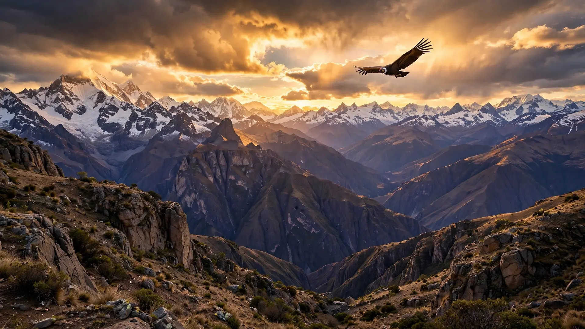
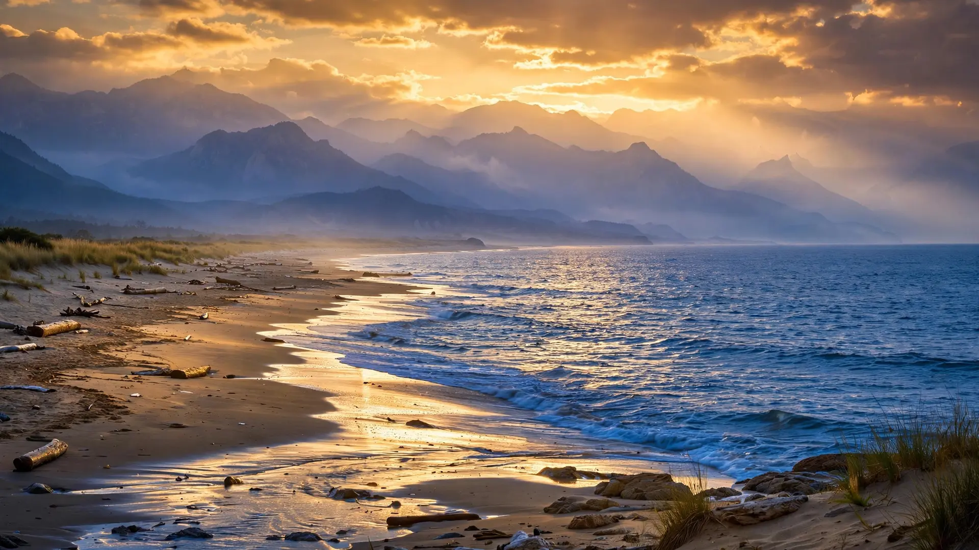
Lake Titicaca earns its famous title not because it is the highest water on Earth, but because it is the highest large lake that boats work every day. Perched about 3,800 metres above sea level on the Andes plateau, straddling Peru to the west and Bolivia to the east, it is South America's largest lake and a working landscape: ferries cross it, fishermen work it, and whole villages float on it. Its record is really a story about scale, altitude and human ingenuity all meeting in one thin-aired basin. Seen from orbit, the lake is a long blue slash across the plateau, roughly 190 kilometres from end to end and about 80 kilometres at its widest, covering around 8,300 square kilometres. That size is what separates it from the small, higher tarns scattered through the Andes and the Himalayas. Those pools may sit higher, but they cannot carry a ferry, support a fishing fleet or hold a town on their surface. Titicaca can, and has done so for generations.
Why is a lake this high also this big?
Titicaca sits in a high, enclosed basin called the Altiplano, a plateau walled in by the Andes, the world's longest mountain range, where water has nowhere easy to go. Rivers drain into the lake from the surrounding mountains, including several fed by glaciers, yet the basin has no outlet to the sea. Over time, that trapped water built a lake far larger than a mountain tarn has any right to be, and the plateau kept it there. The lake is not one simple bowl. A narrow channel called the Strait of Tiquina divides it into two linked basins. The larger northwestern basin is known as Lake Grande in Peru and Lake Chucuito in Bolivia, while the smaller southeastern basin goes by Lake Pequeño in Peru and Lake Huiñaymarca in Bolivia. Forty-one islands rise from its waters, the largest being Isla del Sol, or Titicaca Island, just off the Copacabana Peninsula in Bolivia, long treated as a sacred place in Andean tradition. Geologists have found that the lake was once far larger still. During past glacial periods, when rainfall was higher and temperatures lower, it is believed to have stretched as much as 600 kilometres to the south, several times its present length. Today's lake is therefore a shrunken remnant of a much grander water body, still impressive, but only a fraction of what the basin once held.
Where does all the water go?
A lake with many rivers flowing in and almost nowhere to flow out faces an obvious question: why does it not keep rising? The answer is the sky. Titicaca's only river outlet, the Desaguadero, which flows south through Bolivia, carries away only about 10 percent of the water arriving in the lake. The remaining roughly 90 percent leaves by evaporation, driven by relentless westerly winds sweeping across the plateau and by fierce sunlight in the thin air.
That balance is delicate. Inflows and evaporation must roughly match, or the level shifts, as strong winds ruffle the surface and the water budget depends on rain, glacier melt and evaporation staying in rough equilibrium. The same forces shape the lake's ecology and its human use. Its waters support farming, fishing and tourism for millions of people living around its shores, which is why the lake has been designated a Ramsar Site of International Importance, a recognition of wetlands that matter far beyond their own borders. Algal blooms visible from space at its southern end show how sensitive that system is: nutrients, light and wind interact in ways that can change the lake's character from season to season.
Who lives on islands made of reeds?
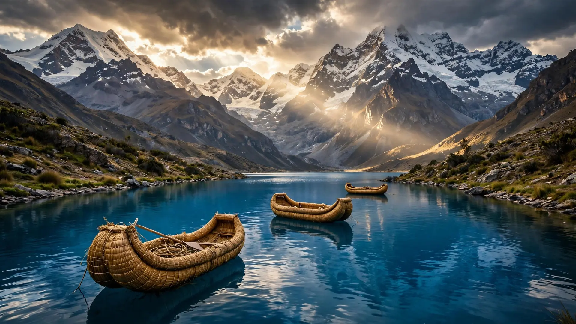
Titicaca's most famous residents are the Uros, who have built floating villages from totora reeds for hundreds of years. The practice began before the Spanish arrived, when the ancestors of the Uros could not secure land of their own among stronger competing groups, including the Colla and the Inca, and needed a way to protect themselves. Their answer was to build their homeland on the water itself, out of a plant that grows abundantly in the lake's shallows. An island starts as a thick platform of totora, layered and stitched until it can carry houses, furniture and boats, all made from the same reed. Roughly seventy such islands exist today, many about fifty feet square, usually moored to the lakebed and to each other with rope cables, though they can still be moved if needed. Their original mobility was the point: if danger approached, a village could be pushed away from shore. Living on reeds demands constant work. The lowest layers rot in the water, so islanders must keep cutting fresh reeds and laying them on top, and an island is typically rebuilt from scratch about every thirty years. Walking on one feels unstable, like standing on a thick sponge that gives underfoot, and the cold lake is never far below. Until the mid-1980s most islands sat about nine miles from shore and saw few visitors, but after a devastating storm in 1986 many Uros rebuilt closer to Puno, the largest city on the Peruvian shore. Tourism followed, and today a large share of island residents work in showing visitors their reed-built world, a livelihood that brings income and also pressure to perform a version of tradition for outsiders. Visitors feel the altitude immediately. At roughly 12,500 feet, the lake's air carries only about two-thirds of the oxygen found at sea level, which is why locals offer coca tea to newcomers struggling with the thin air. Titicaca is beautiful in part because it is demanding: everything here, from breathing to building, takes more effort than it does lower down.
What did this lake mean to the empires before it?
Long before tourists arrived, Titicaca anchored one of the Andes' great civilisations. Tiwanaku, a city near the lake's southern shore in what is now Bolivia, grew into the capital of a powerful pre-Hispanic empire that dominated a large stretch of the southern Andes. UNESCO, which inscribed Tiwanaku on the World Heritage List in 2000, places its height between 500 and 900 AD, when its monumental stone centre testified to a civilisation distinct from any other in the pre-Hispanic Americas. Tiwanaku's farmers mastered the same difficult environment that challenges people today. Around the lakeshore they built raised fields in marshy ground, using canals as heat reservoirs to protect frost-sensitive crops at altitude, and they grew potatoes, quinoa and other hardy staples that still feed the region. The empire eventually declined in the eleventh century and collapsed in the first half of the twelfth, for reasons scholars now link more to climatic change and weakening central control than to invasion. Its ruins remain, a stone reminder that Titicaca has supported complex societies for far longer than the modern border between Peru and Bolivia has existed. Later, the Inca wove the lake into their own origin stories, treating Isla del Sol as a sacred island. That layered history is why Titicaca resists a simple label. It is not just a record holder, and not just a scenic stop. It is a place where geology, climate, farming, faith and politics have overlapped for centuries, each leaving its mark on the same blue water.
So what does "highest navigable lake" actually mean?
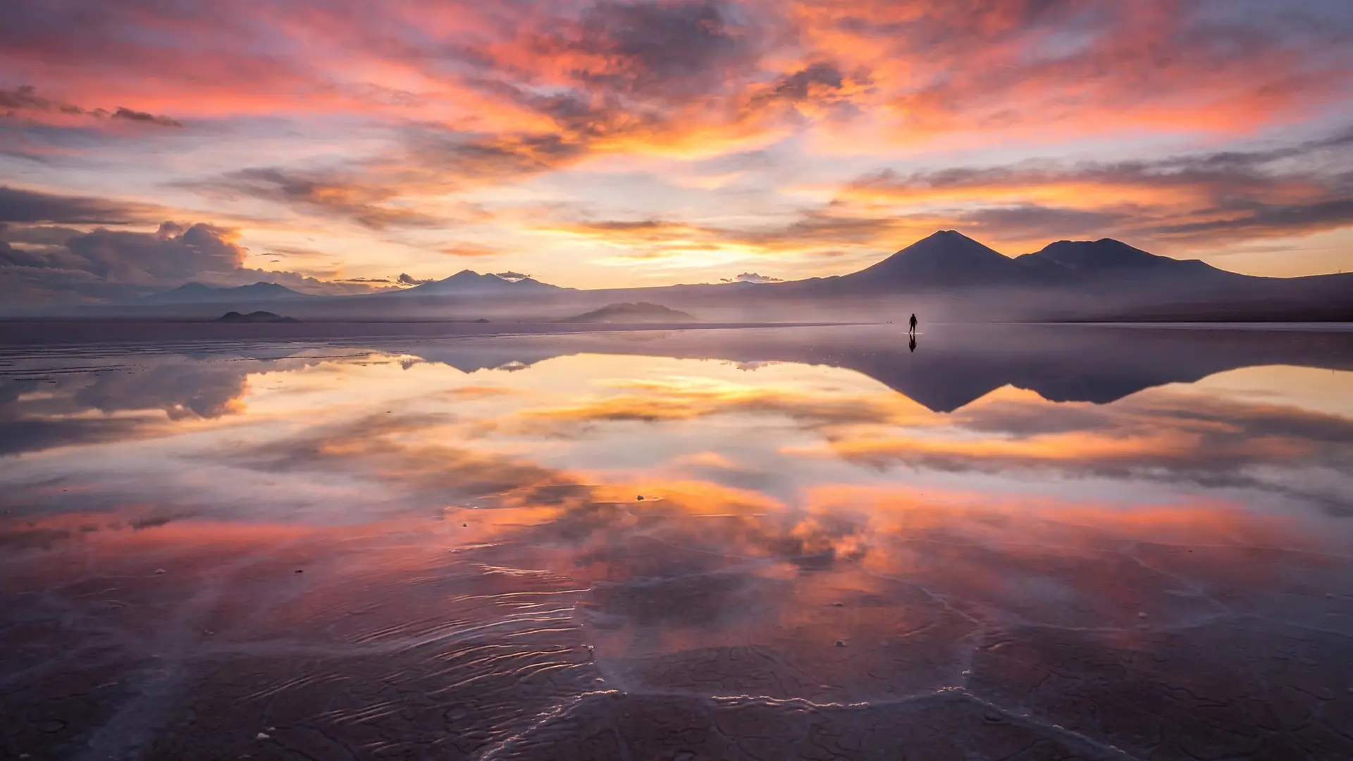
The title needs its qualifier. Higher lakes exist, but they are small, remote or unusable by large craft. Titicaca's claim rests on three things together: altitude, size and use. It is high, it is vast, and boats cross it for trade, transport and daily life. Remove any one of those three, and the title falls apart. Keep them together, and no other lake matches it. That is also why comparisons with other great lakes help rather than confuse. Lake Baikal wins on depth, plunging far below any other lake, while Salar de Uyuni, a short distance to the south in Bolivia, wins on flatness, turning into a perfect mirror when flooded. Titicaca wins on height combined with habitability: a lake you can live on, farm beside and sail across, at an elevation where most people struggle simply to catch their breath. Titicaca's real wonder, then, is not a number on a list. It is the sight of a reed boat crossing water that sits higher than most mountains people ever climb, beneath a sky that feels close enough to touch, in a basin where evaporation, wind and human hands have kept a fragile balance for centuries. The lake endures because that balance endures, and because the people who live on it have never stopped rebuilding it, reed by reed, generation after generation, high above the sea.
Frequently asked questions
How high is Lake Titicaca?
About 3,800 metres, or roughly 12,500 feet, above sea level, on the high Andes plateau between Peru and Bolivia. That thin air holds only about 65 percent of the oxygen visitors are used to at sea level.
Is Titicaca really the highest lake in the world?
It is the highest major body of water that large boats regularly use. Smaller lakes sit higher, but none combine Titicaca's size, depth and commercial navigation.
What are the floating islands made of?
Totora reeds, layered into thick floating platforms that carry houses, boats and furniture. Because the lowest layers rot in the water, islanders must keep adding fresh reeds, and an island is rebuilt from scratch roughly every 30 years.
Why does so little water flow out of Lake Titicaca?
Its only river outlet, the Desaguadero, drains only about 10 percent of incoming water. Strong winds and intense high-altitude sunlight evaporate the rest.
Sources
- Lake Titicaca, NASA Science
- Lake Titicaca, European Space Agency
- Visit These Floating Peruvian Islands Constructed From Plants, Smithsonian Magazine
- Tiwanaku: Spiritual and Political Centre of the Tiwanaku Culture, UNESCO