The Caspian Sea: The World's Largest Lake
The Caspian Sea covers about 371,000 square kilometres, yet no river carries its water to any ocean. Explore its origins, five shores, and shrinking future.
Key takeaways
- The Caspian Sea is Earth's biggest landlocked water, covering about 371,000 square kilometres, roughly the size of Japan.
- It is a lake in physical terms because it has no outlet to any ocean; water leaves only by evaporation.
- Five countries share its shores: Russia, Kazakhstan, Turkmenistan, Iran, and Azerbaijan.
- Its water is brackish, averaging about 12.8 parts per thousand of salt, almost fresh near the Volga and extremely salty in the Kara-Bogaz-Gol lagoon.
- The sea has been shrinking since the mid-1990s as river inflow falls and evaporation rises, threatening wetlands, fisheries, and ports.
The Caspian Sea is the world's largest lake, even though almost nobody calls it one. It covers about 371,000 square kilometres, roughly the size of Japan, and holds some 78,200 cubic kilometres of water, yet no river carries that water onward to any ocean. It is a lake wearing a sea's name, and that contradiction shapes everything about it, from its wildlife to its politics. The name is not just a curiosity: whether it counts as a sea or a lake decides who controls its resources, which is why five nations spent more than two decades arguing over its legal status before signing an agreement in 2018.
Why is a "sea" also the world's largest lake?
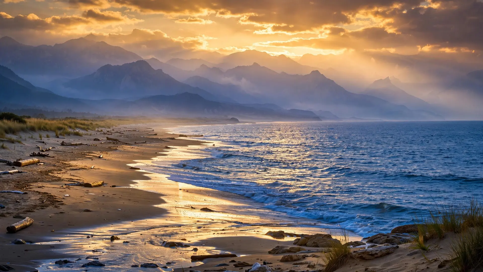
The test is simple: a lake is water surrounded by land, with no outlet to the ocean. The Caspian passes that test completely. It lies between Europe and Asia, east of the Caucasus Mountains and west of the steppe of Central Asia, and its water leaves only by evaporating from the surface. Its level therefore moves to its own rhythm, rising when rivers and rain bring more water than evaporation removes, and falling when the balance tips the other way. Ocean tides and global sea level have nothing to do with it. By that measure, the Caspian dwarfs every other lake. It stretches nearly 1,200 kilometres from north to south, with an average width of only about 320 kilometres. Its surface sits roughly 27 metres below global sea level, and its greatest depth, toward the south, reaches about 1,025 metres. The northern basin is a different world: NASA notes that it holds only about one percent of the lake's volume, averaging just five to six metres deep, so a small fall in level there exposes huge areas of seabed. The water itself also refuses a tidy label. It is brackish, averaging about 12.8 parts of salt per thousand parts of water. That average hides a steep gradient: near the Volga's mouth in the north, salinity drops to about one part per thousand, while in the Kara-Bogaz-Gol, a shallow lagoon on the eastern shore, intense evaporation drives it to around 200 parts per thousand. One lake thus holds water ranging from nearly fresh to far saltier than the sea.
How did an ancient ocean become a landlocked lake?
The Caspian is a survivor of a much larger vanished sea. Britannica records that until relatively recent geological times, roughly 11 million years ago, it was still connected through the Sea of Azov, the Black Sea, and the Mediterranean to the world ocean. Tectonic movements and falling water levels then sealed it off, leaving a remnant basin that kept its own water, its own level history, and eventually its own species.
That isolation is the key to its ecology. Cut off from the ocean for millions of years, the basin became an evolutionary island. EarthSky, reporting a 2026 study, puts the number of species found nowhere else at more than 850. Among them are the Caspian seal, which raises its pups on winter ice that forms mainly in the shallow north, and several sturgeon species whose eggs became the caviar that made the Caspian famous, and later infamous, in world markets. The same long isolation that created this wildlife also made it fragile: species that exist in one basin and nowhere else have no refuge if that basin changes. The human geography of the Caspian changed far more suddenly than its geology. Until the Soviet Union broke apart in 1991, only two states, the Soviet Union and Iran, shared its shores. Afterward there were five: Russia in the northwest, Kazakhstan in the northeast, Turkmenistan in the southeast, Iran in the south, and Azerbaijan in the southwest. Each inherited ports, fisheries, and claims to the oil and gas beneath the seabed, and none could manage the water alone.
What lives in water that is neither fresh nor salty?
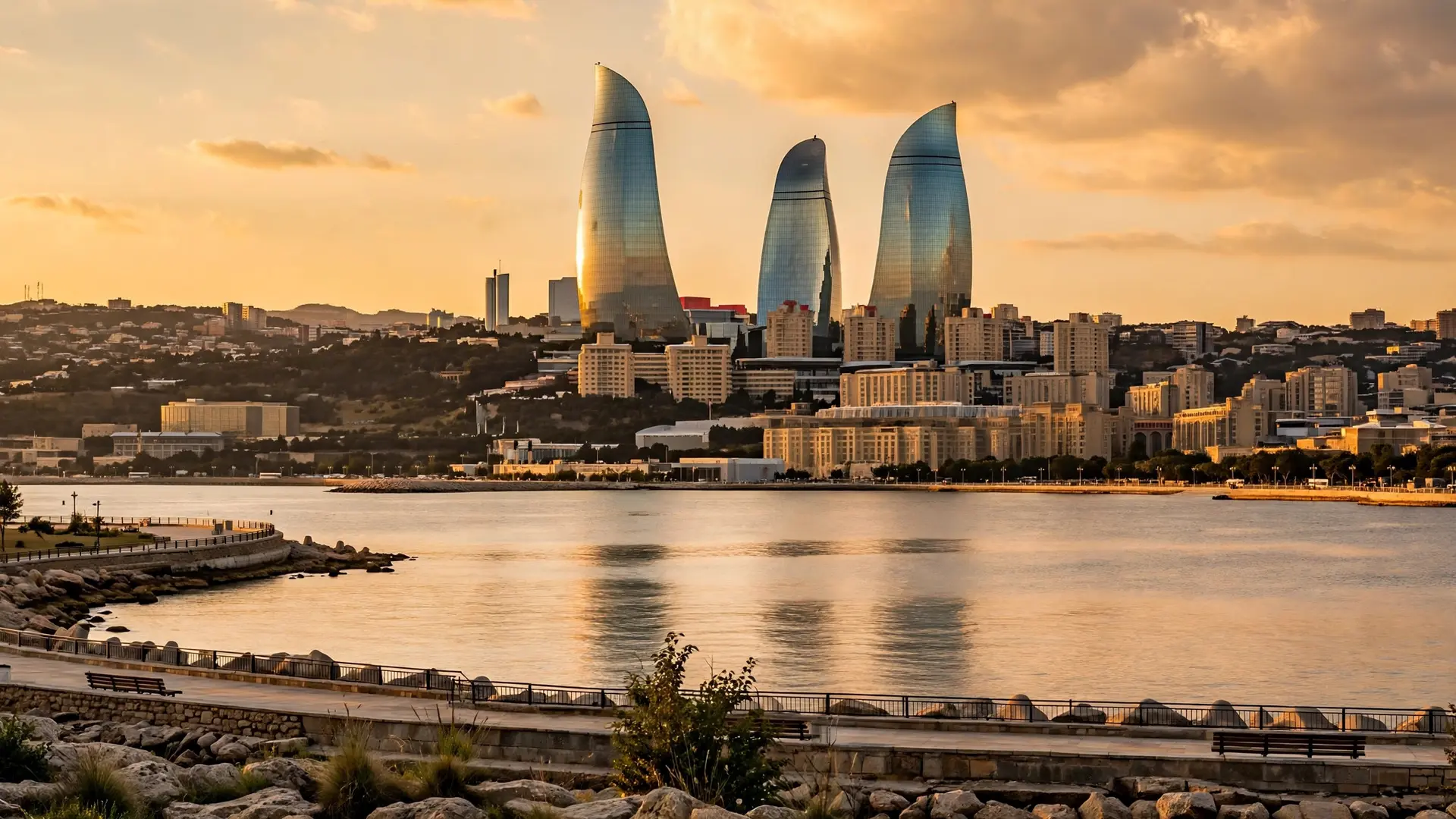
Stand on the northern shore and the Caspian feels like a freshwater lake: reeds fringe the Volga delta and winter ice can lock the shallows. Travel south and the character changes, as the water grows saltier, the basins deepen, and mountains rise close behind the coast. The lake is really three linked basins, northern, middle, and southern, each with its own depth, temperature, and ecology. That variety supports livelihoods as well as wildlife. Britannica notes that shipping and fisheries matter greatly to the region's economy, as does production of petroleum and natural gas from the Caspian basin. The city of Baku, on the Absheron Peninsula jutting into the middle Caspian from the west, grew rich on oil drawn from beneath and beside these waters, and its skyline is a reminder that the lake is an industrial landscape as well as a natural one. But the same industries pressure the ecosystem they depend on. Oil extraction, untreated sewage, and industrial waste carried down the Volga have all burdened the lake, and dams on the Volga system have altered the water and sediment flow the delta and its fisheries rely on. The Caspian's sturgeon, slow to mature and heavily fished for caviar, are among the most exposed: a fish that takes many years to reach breeding age cannot rebuild quickly, and the shallow northern spawning grounds are exactly those most threatened by falling water.
Why is the Caspian shrinking now?
The Caspian has always fluctuated. Its level fell by about three metres between 1929 and 1977, then rose by a similar amount by 1995, driven largely by changes in Volga discharge. What is happening now is different in direction and persistence: satellite altimetry compiled by NASA shows the level falling since the mid-1990s, and a 2026 study reported in EarthSky found the sea has lost roughly 5.5 percent of its surface area since then, equal to about 630 cubic kilometres of water.
The causes, the study found, are split between climate and human action. Evaporation from the surface has increased as the region warms, accounting for roughly 37 to 40 percent of the observed loss. The larger share, however, comes from falling river inflow. The Volga, the Ural, and the Terek together supply about 88 percent of all river water entering the Caspian, according to Britannica, and the Volga alone dominates that total, so any reduction in its flow hits the lake hard. Researchers concluded that water consumption and river regulation upstream are playing a bigger role than scientists had previously recognised, with rainfall over the region largely unchanged since the early 1990s. Projections differ in detail but agree on the direction. NASA has reported one estimate of a fall of nine to 18 metres by the end of this century, enough to shrink the lake's area by about a quarter and expose roughly 93,000 square kilometres of dry land, an area about the size of Portugal. The newer study projects a smaller but still severe drop of eight to 14 metres by 2100. Either way, the shallow north would bear the brunt: its wetlands, spawning grounds, and seal breeding ice would be transformed, and ports built for one water level would find themselves stranded far from the shore.
Can five countries share one shrinking sea?
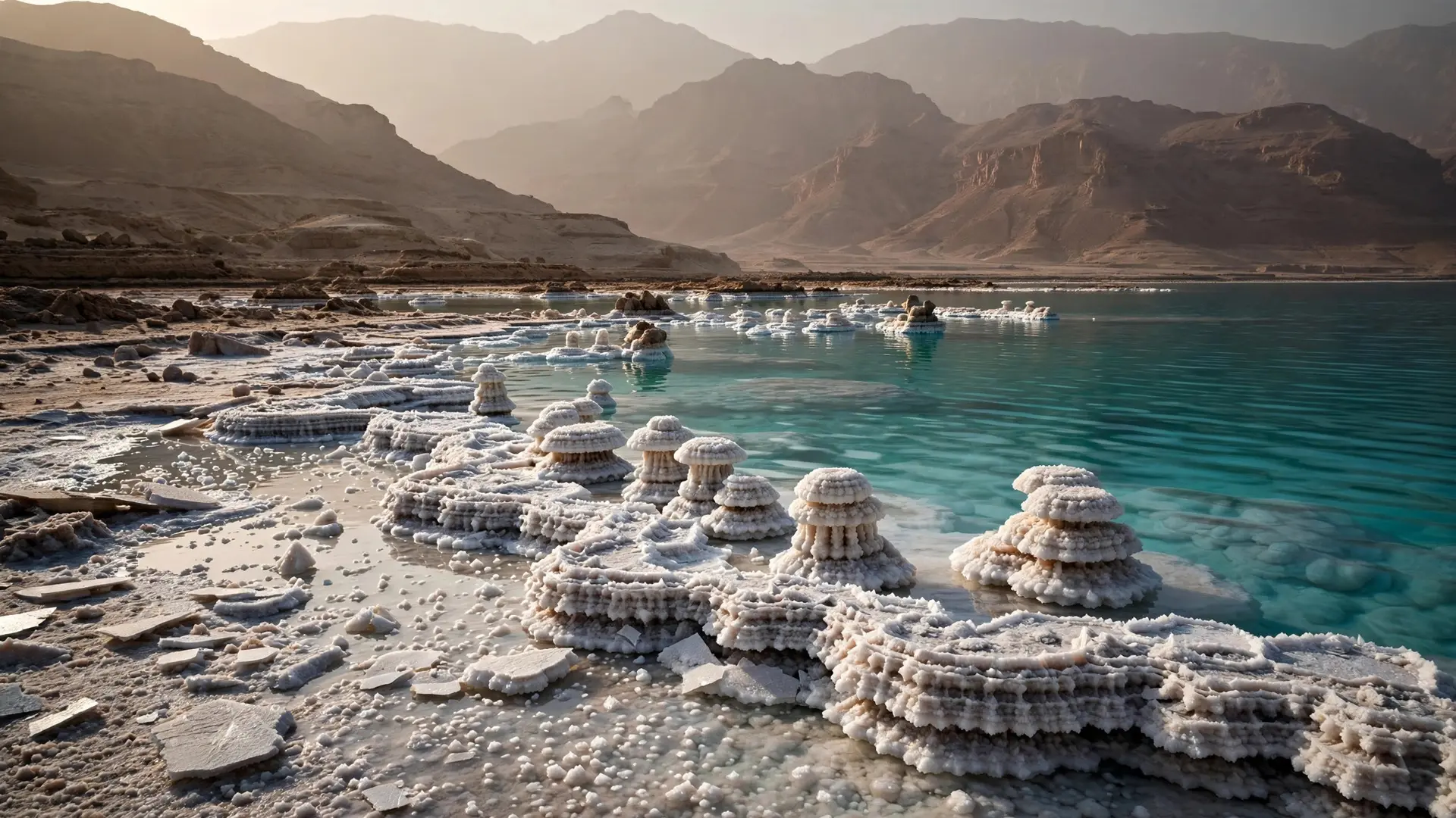
The shrinking Caspian is often compared with the disappearing Aral Sea, another Central Asian inland water that lost most of its volume after its feeder rivers were diverted for irrigation. The comparison is a warning, not a prophecy: the Caspian is far larger and is not expected to vanish, but both cases show that no single country can fix a lake fed by shared rivers. That lesson shaped the 2018 agreement. After more than two decades of talks, the presidents of all five shoreline states met in Aktau, Kazakhstan, on 12 August 2018 and signed the Convention on the Legal Status of the Caspian Sea. The deal gave the Caspian a special legal regime of its own, neither fully sea nor fully lake, and left the division of parts of the seabed to further agreements between neighbouring states. It was a framework, not a final settlement, and the hard questions about water use, pollution, and seabed resources remain open. The Caspian's future will therefore be decided less by geography than by cooperation. Its size makes it look permanent on a map, but its history shows a restless body of water that has risen, fallen, nearly dried, and refilled across geological time. What is new is that its fate now rests in human hands: how much water five nations allow to reach it, and how much they take first. A lake that survived the loss of an ocean may yet survive this century, but only if the countries around it treat its rivers as carefully as its oil. For contrast, Lake Baikal trades the Caspian's vast surface for unmatched depth, while the Dead Sea shows evaporation pushed to an extreme.
Frequently asked questions
Is the Caspian Sea a sea or a lake?
Physically it is a lake: it is landlocked, with no natural outlet to the world ocean, and its level rises and falls independently of sea level. It keeps the name sea for historical reasons, and its five shoreline states gave it a special legal regime in 2018.
How big is the Caspian Sea?
About 371,000 square kilometres in surface area, roughly the size of Japan, stretching about 1,200 kilometres from north to south. Its greatest depth, in the south, is about 1,025 metres.
Which countries border the Caspian Sea?
Five: Russia in the northwest, Kazakhstan in the northeast, Turkmenistan in the southeast, Iran in the south, and Azerbaijan in the southwest.
Why is the Caspian Sea shrinking?
Mainly because less river water is reaching it, especially from the Volga, while evaporation from its surface has increased. Since the mid-1990s it has lost roughly 5.5 percent of its surface area.
Sources
- Caspian Sea | Facts, Map, & Geography, Britannica
- The Caspian's Shallow North, NASA Science
- The Caspian Sea – Earth's largest inland sea – is shrinking, EarthSky
- Five littoral states sign convention on legal status of Caspian Sea, The Times of Central Asia