Antarctica Is a Continent. Greenland Isn't. Why?
Antarctica and Greenland are both giant ice-covered landmasses — yet one is a continent and the other an island. Size, geology, and one simple rule decide.
Key takeaways
- Antarctica covers about 14.2 million km²; Greenland covers about 2.166 million km² — Antarctica could fit Greenland more than six times over.
- There is no strict scientific definition of a continent; the classification is largely a matter of convention.
- Greenland shares the North American tectonic plate and continental shelf, while Antarctica sits on its own.
- The one hard rule: a landmass cannot be both an island and a continent.
Antarctica and Greenland are both enormous, ice-buried landmasses entirely surrounded by water. Seen from space they look like twins: white, frozen, and remote. So why does one get to be a continent while the other is "just" the world's largest island? The honest answer is less scientific than you might expect. There is no strict, universally accepted definition of a continent — the distinction rests on convention, scale, and what is happening in the rock far below the ice. And once you see the logic, it collapses into one surprisingly simple rule: a landmass cannot be both.
What Is a Continent, Exactly?
This is the uncomfortable starting point: continents are defined by convention rather than by strict definition. Depending on where you learn geography, there are six or seven continents on Earth — but Antarctica is always on the list. A continent is generally understood as a large, continuous landmass surrounded by water, and Antarctica fits that description without controversy. An island, meanwhile, is usually defined as any piece of subcontinental land surrounded by water. Notice the quiet weasel word: subcontinental. The textbook definition of an island assumes, without quite saying it, that continents are the main event and everything smaller is an island. Size is doing most of the work before any other argument even starts. Greenland is surrounded by water and not connected to any other landmass, so it qualifies as an island perfectly — and because it is not counted as a continent, it is eligible for the title of largest island on Earth. And this is where the system reveals its circularity: asked why Australia is a continent and Greenland is not, the standard answer is that Australia sits on its own tectonic plate — a geological criterion that would not, on its own, have been enough if Australia were the size of Greenland. The two criteria, size and geology, prop each other up.
How Much Bigger Is Antarctica Than Greenland?
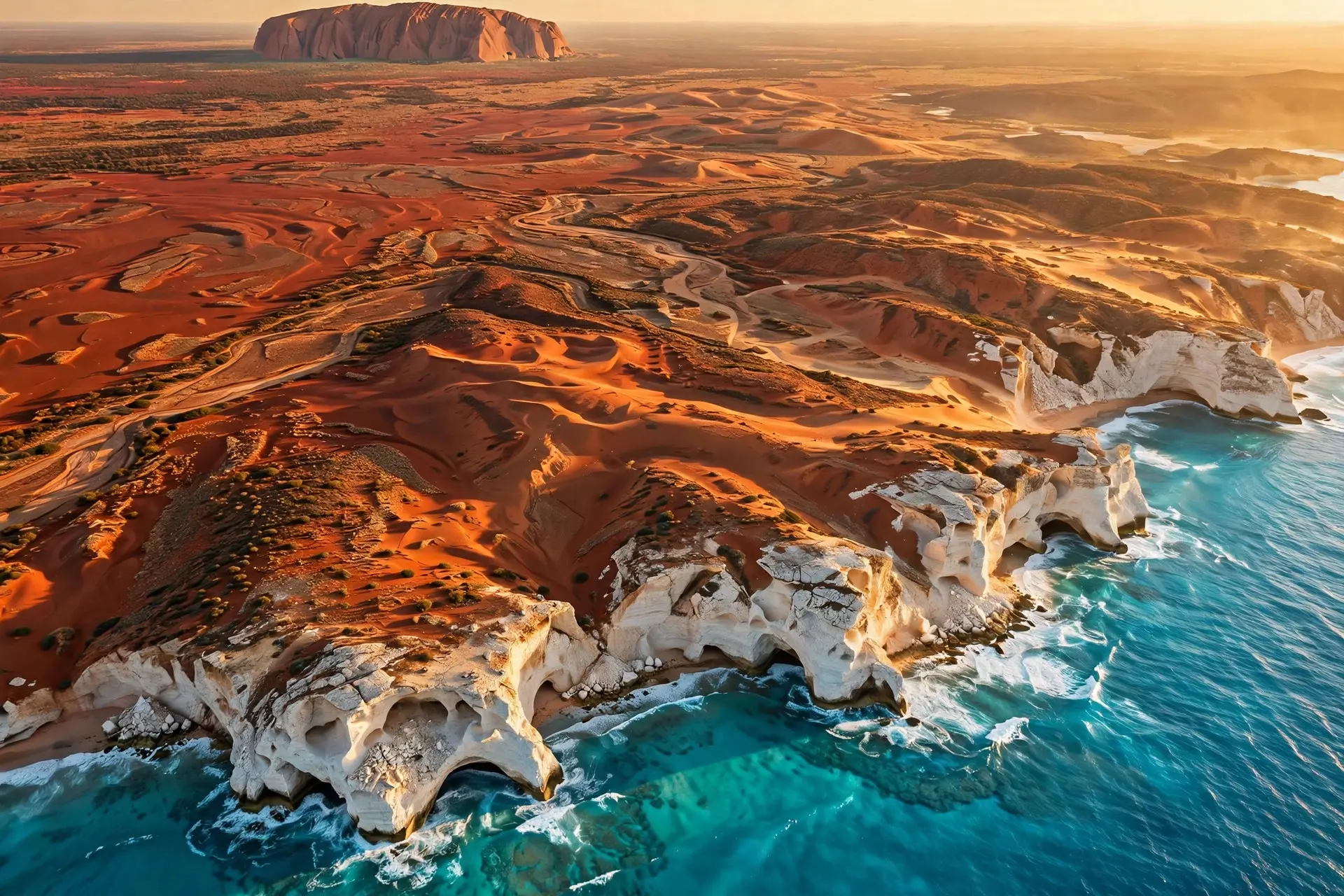
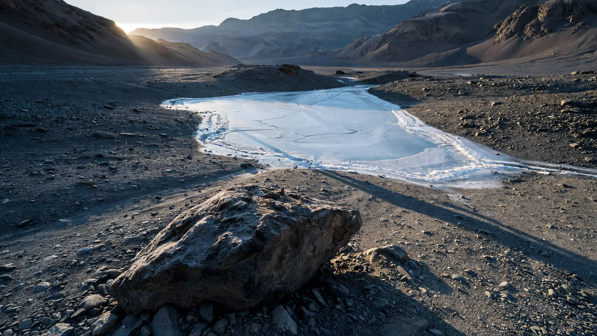
The scale gap is enormous. Antarctica covers about 14.2 million square kilometres, making it the fifth-largest continent — roughly 40 percent larger than Europe. Greenland covers about 2.166 million square kilometres. Antarctica could swallow Greenland more than six times over. But size alone is not the whole story, because Australia — at about 7.7 million square kilometres, far smaller than Antarctica — is also a continent, and nobody disputes it. Still, the raw numbers set the stage for everything else. Antarctica is also the coldest, driest, and windiest continent, with the highest average elevation of any continent at around 2,500 metres above sea level, thanks to its thick ice sheet. About 70 percent of the world's fresh water is frozen there, and it holds the record for the lowest temperature ever measured on Earth: −89.2°C. Greenland is the world's largest island and its ice sheet — covering roughly 80 percent of the island — is the second largest on Earth after Antarctica's. The two look alike from orbit, but in scale they are not in the same league.
Why Does Geology Tip the Scales?
The second argument is what lies beneath the ice. Continents tend to sit on their own tectonic plates — and this is where Greenland's case falls apart. Greenland is not on its own plate; it shares the North American tectonic plate. It is also connected to North America's continental shelf, while Australia has a shelf of its own. Geologically, Greenland is an extension of North America that happens to be separated by water.
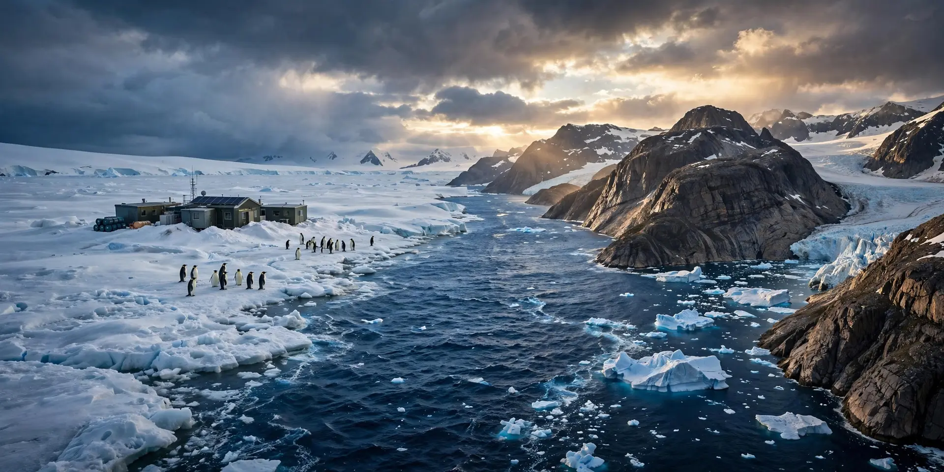
The biology tells a similar story. Greenland's plants and animals are largely species also found elsewhere in the Northern Hemisphere — it is a northern island, not a separate world. Greenland's ice sheet covers roughly 80 percent of the island and is second only to Antarctica's — yet the rock beneath it rides the North American plate, which is why geologists describe Greenland as physiographically part of North America. Antarctica, by contrast, has been isolated long enough to host unique wildlife found nowhere else, such as emperor penguins and leopard seals. And beneath its ice lies a single, genuine continental landmass — which also settles a related question: the Arctic is not a continent because the Arctic is mostly ocean with sea ice on top, not land. There is no land under the North Pole, while there is land under the South Pole.
So Why Can't Greenland Just Be Both?
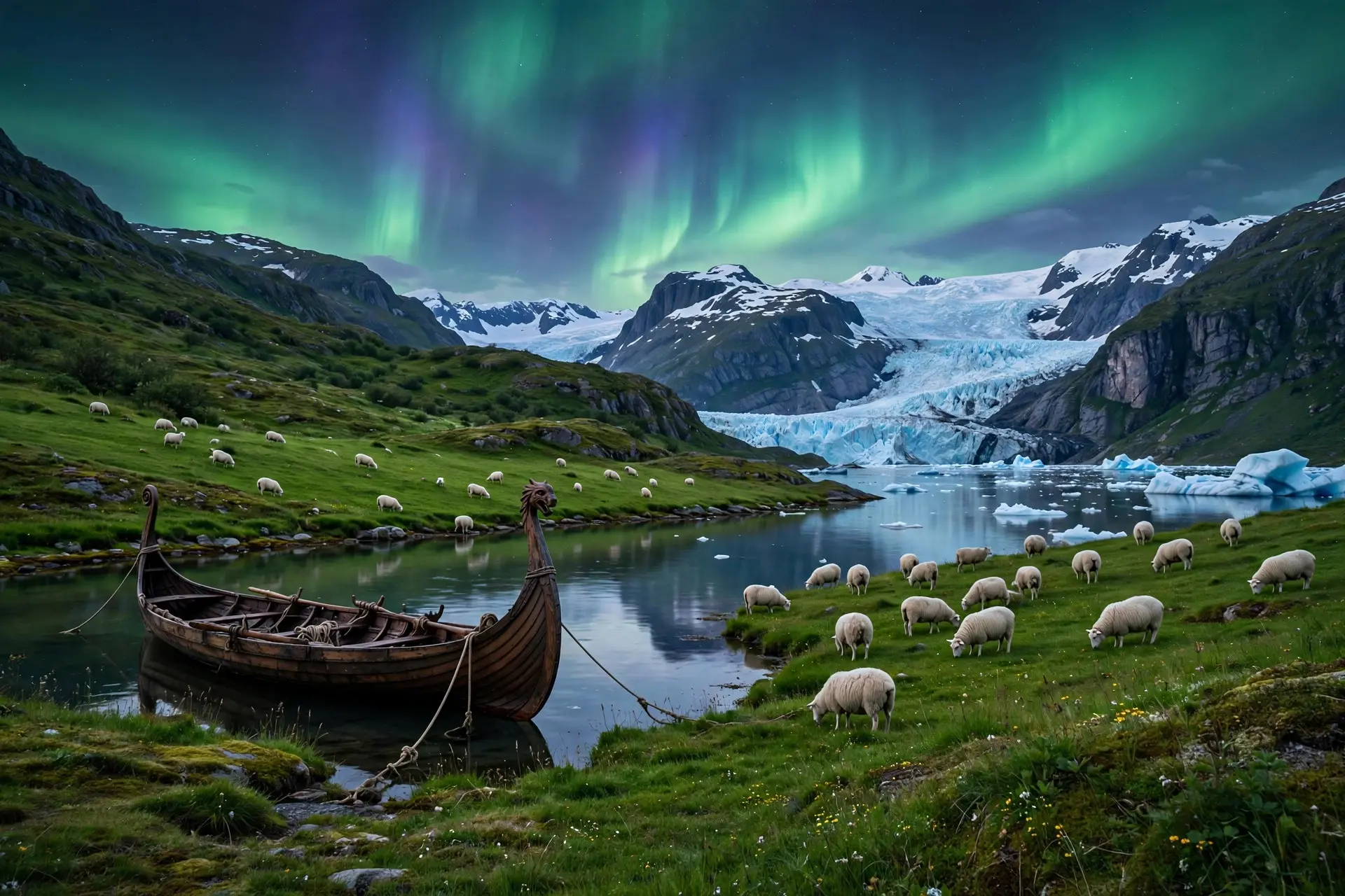
Here is the one hard rule in the whole debate: a landmass cannot be both an island and a continent. Once a landmass is counted as a continent, it is out of the island rankings — and vice versa. Australia is the famous precedent: it is entirely surrounded by water, yet it is nicknamed the "island continent" and classified as a continent, which is precisely why Greenland — not Australia — holds the largest-island title. Greenland, being far smaller than any continent and geologically part of North America, lands in the island category. Antarctica lands in the continent category. Convention does the rest: generations learned it that way, and geography textbooks are not in the business of renegotiating it. There is a political footnote, too. Antarctica belongs to no country. The Antarctic Treaty, in force since 23 June 1961 and signed by twelve nations including Argentina, Australia, France, Japan, the United Kingdom, the United States, and the Soviet Union, sets aside territorial claims and keeps the continent demilitarized and devoted to scientific research. Greenland, meanwhile, is part of the Kingdom of Denmark with its own home-rule government, and its people are primarily Inuit. Even the name is a piece of theatre — a Viking-era label designed to sound inviting, and the story of why Greenland ended up with such a misleading name is a classic of geographical misdirection. So: Antarctica is a continent because it is enormous, geologically distinct, and convention says so; Greenland is an island because it is subcontinental in scale and geologically an extension of North America. The deeper lesson is that "continent" is a human label, not a law of physics — a filing system we invented to organise the world, applied with just enough logic to feel inevitable. The ice, at least, does not care what we call either of them.
Frequently asked questions
What is the largest island in the world?
Greenland, at about 2.166 million square kilometres — the largest landmass that is not counted as a continent.
Is Australia an island or a continent?
Both, in a sense. It is nicknamed the 'island continent': entirely surrounded by water, but counted as a continent by convention and sitting on its own tectonic plate.
Are there any countries in Antarctica?
No. The Antarctic Treaty System, in force since 1961, sets aside territorial claims and keeps the continent demilitarized and devoted to science.
Why isn't the Arctic a continent?
Because it isn't a landmass at all — the Arctic is mostly ocean covered by sea ice, with no continent-sized land underneath.