The Great Rift Valley: Where Africa Is Splitting
The Great Rift Valley is a 6,000-km crack tearing East Africa apart at a few millimeters per year. Explore its geology, fossils, lakes, and future ocean.
Key takeaways
- The Great Rift Valley marks where Africa is splitting into the Nubian and Somali plates at roughly 6–7 millimeters per year.
- A mantle plume beneath East Africa is stretching and fracturing the crust, a process that began 25–30 million years ago.
- In tens of millions of years the rift could open a new sea or ocean, much as the Red Sea formed when Arabia split away.
- The valley's volcanic ash layers preserved fossils like Turkana Boy, making it a key record of human evolution.
Yes — Africa is genuinely splitting apart. A crack roughly 6,000 kilometers long, called the Great Rift Valley, runs down the continent's eastern side, and the crust there is slowly tearing in two. The pace is almost unimaginably slow — just a few millimeters per year — yet if the process continues, it could one day open a brand-new ocean between East Africa and the rest of the continent. What is remarkable is that we can watch this happening at all. The Great Rift Valley is one of the few places on Earth where the birth of an ocean may be playing out on dry land, in real time, on a human-measurable scale.
What exactly is the Great Rift Valley?
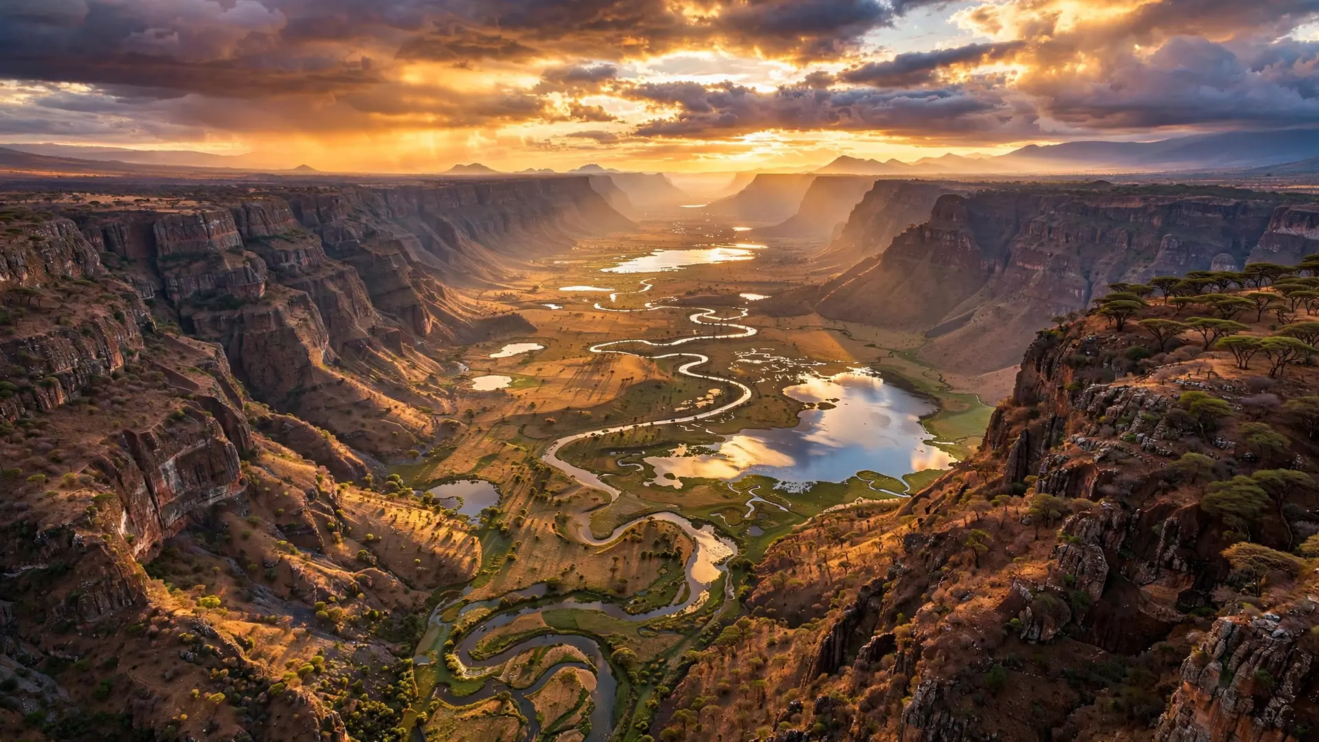
The Great Rift Valley is the surface expression of a divergent plate boundary — a zone where tectonic plates are moving away from each other. Along this boundary, the African Plate is gradually dividing into two distinct plates: the Nubian Plate to the west and the smaller Somali Plate to the east. GPS measurements show the two plates separating at roughly 6 to 7 millimeters per year, a pace scientists confirm down to the millimeter with satellite instruments. This makes the rift the geological opposite of the force that built the Himalayas, where two plates collided and pushed the crust upward. Here, plates are pulling apart, so the crust stretches, thins, and fractures instead of crumpling. The pulling produces normal faulting, where blocks of crust slide downward along parallel cracks, creating a sunken valley floor geologists call a graben. Rifting along this line began roughly 25 to 30 million years ago and has never stopped. That long, continuous history is what turned a thin fracture into one of the largest tectonic features on the planet.
How does a continent tear itself apart?
The engine driving the split lies deep underground. Geologists point to a massive mantle plume — a rising column of superheated rock — beneath East Africa. The plume pushes against the bottom of the continent, doming the crust upward and baking and weakening the lithosphere, the rigid outer shell of the Earth. As the weakened crust arches, it stretches and breaks along faults, exactly as the climate-fact-checked science explains it: doming, stretching, thinning, then fracture.
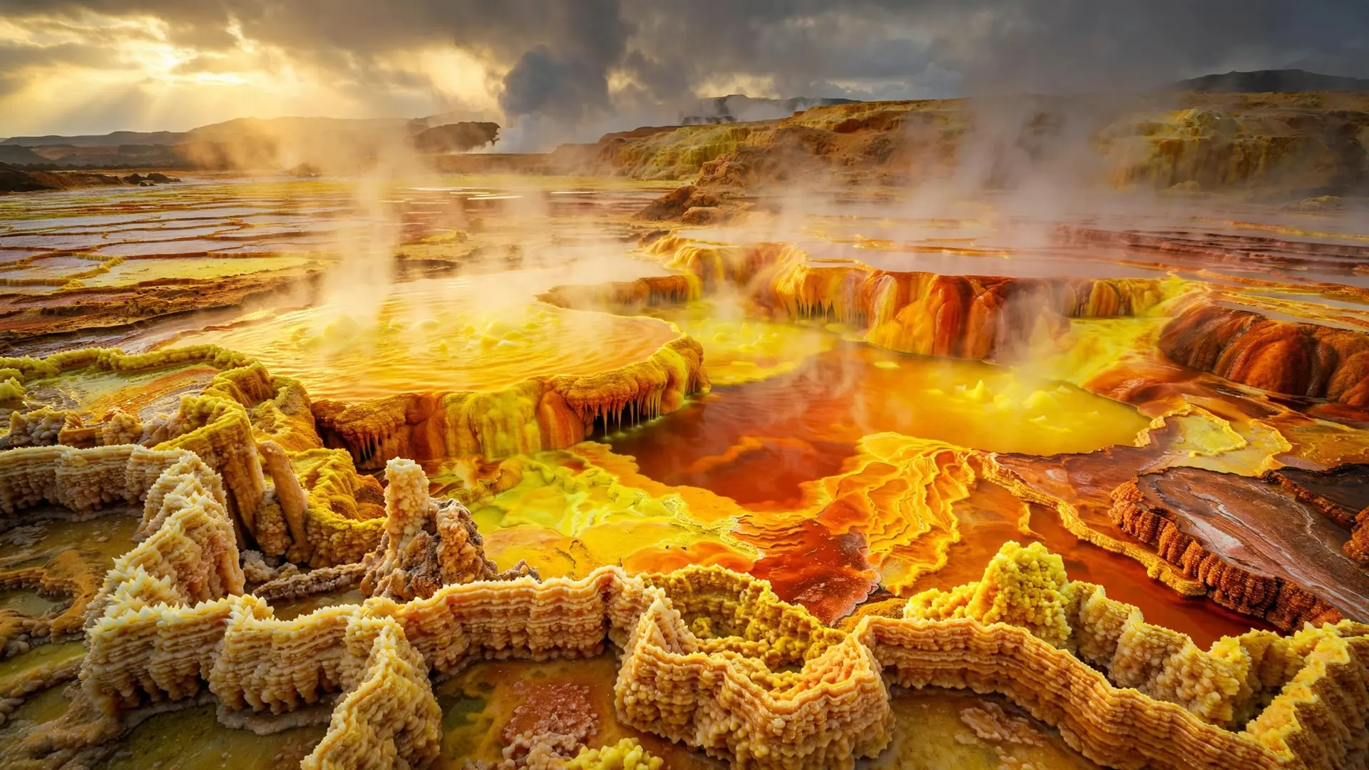
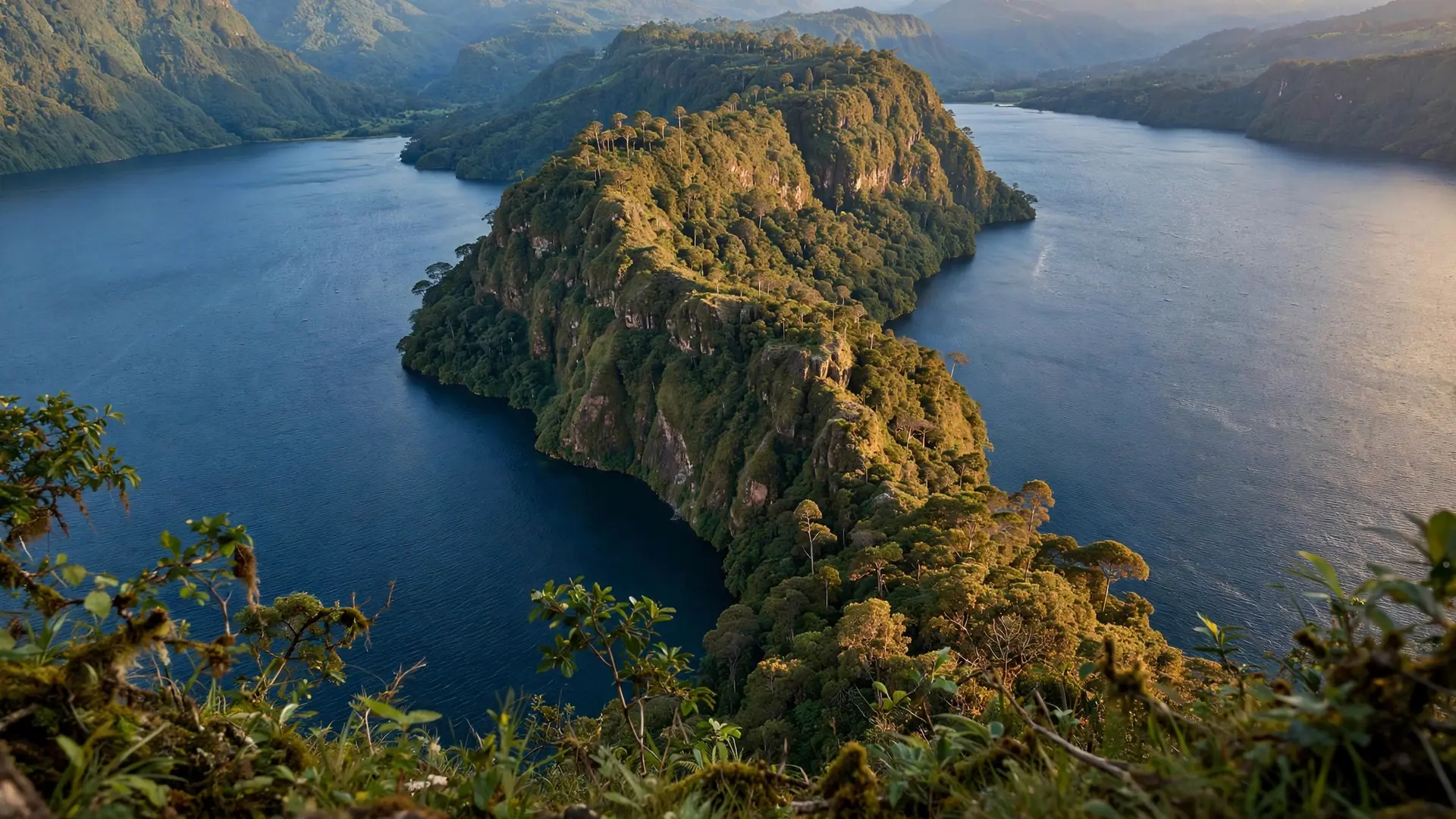
The clearest sign of this violence is the Afar Triangle in Ethiopia, where three plates — the Nubian, the Somali, and the Arabian — all pull away from one another at a triple junction. In Afar, the continental crust has already thinned to about 20 kilometers, compared with a typical 35 kilometers elsewhere. The region is peppered with active volcanoes; Erta Ale hosts a long-lived lava lake whose behavior closely resembles seafloor spreading at mid-ocean ridges, earning the area its reputation as a laboratory for ocean birth. South of Afar, the rift forks around the Tanzania Craton, an ancient slab of crust too strong to tear straight through. The result is two main branches. The Eastern Rift Valley — also called the Gregory Rift after geologist John Walter Gregory, who explored it in 1893 — runs through Ethiopia, Kenya, and Tanzania. The Western Rift Valley, or Albertine Rift, traces the borders of Uganda, the Democratic Republic of Congo, Rwanda, Burundi, and western Tanzania, and it holds some of the world's deepest freshwater bodies, including Lakes Albert, Edward, Kivu, and Tanganyika. The Afar region at the junction's heart shares its dramatic geology with the otherworldly Danakil Depression, one of the hottest places on Earth. Lake Tanganyika, in the western branch, plunges about 1,470 meters, making it the second-deepest lake on the planet. Only one natural depression on Earth goes far deeper: the ocean's deepest trench, which drops past 10,000 meters.
Could a new ocean really form in Africa?
In geological theory, yes — and there is a precedent nearby. The Red Sea and the Gulf of Aden formed exactly this way: Arabia once belonged to Africa, then rifted away as a long, narrow sea flooded the widening gap. If rifting in East Africa continues uninterrupted, seawater from the Red Sea and Gulf of Aden could eventually flood in behind the departing Somali Plate, creating a new sea — or even what some call a sixth ocean. But the timeline is measured in geological epochs, not lifetimes. National Geographic notes that the Somali Plate might completely separate to form a landmass comparable in size to Madagascar or New Zealand, yet that separation is not expected for another 50 million years. Geophysicist Ken Macdonald has estimated that, at current rates, a sea about the size of the Red Sea could form in roughly 20 to 30 million years. Other researchers put the full breakup and new ocean basin at 5 to 10 million years or more. Every serious estimate agrees on one thing: nothing about this is imminent.
Why the 2018 Kenya crack was not Africa splitting overnight
If the numbers feel abstract, the viral images of a giant crack ripping across a Kenyan highway in March 2018 felt anything but. The fissure, up to 15 meters deep and wide near the town of Suswa, grabbed global headlines as apparent proof that the continent was tearing apart in real time. Geologists quickly deflated the drama. The crack was real, but it was not new. Experts, including geologist Lucia Pérez Díaz, explained that the crevice had existed for a very long time, hidden beneath older volcanic ash deposits; unusually heavy rains washed the ash away and exposed it. Temblor magazine summed up the consensus: the crack did not form overnight — it was a millennia-old weakness revealed by rain and erosion. The episode illustrates the rift's true nature. The pulling is a gentle, millimeter-scale process, not a sudden tear. Small fissures do appear from ordinary erosion or local fault slippage, but they are tiny pieces of a huge rift structure that has been under stress for tens of millions of years.
A valley that cradled humanity
The Great Rift Valley is not only a geological spectacle — it is one of the most important fossil landscapes on Earth. The same volcanism that built the rift repeatedly blanketed the region in ash, and those ash layers can be dated with remarkable precision using potassium-argon methods, giving scientists a chronological framework for human evolution itself. The finds are extraordinary. In 1984, fossil hunter Kamoya Kimeu, working on Richard Leakey's team near Lake Turkana in Kenya, uncovered a nearly complete skeleton now known as Turkana Boy, catalogued as KNM-WT 15000. Roughly 1.5 million years old and classified as Homo erectus, it remains the most complete early human skeleton ever found, offering unmatched insight into how our ancestors grew, walked, and adapted. Olduvai Gorge, in the eastern branch in Tanzania, has yielded layer upon layer of hominin fossils and ancient stone tools. This is why the rift is so often called a cradle of humankind: the geology that is splitting the continent also preserved the record of the species now studying the split. In the end, the Great Rift Valley tells two stories at once. One is written in millimeters per year — a continent quietly coming apart and, perhaps, building a new ocean tens of millions of years from now. The other is written in fossils and ash — the story of humanity's earliest chapters, preserved in the very cracks of the splitting ground.
Frequently asked questions
Is Africa really splitting into two continents?
Yes, but very slowly. The Nubian and Somali plates are pulling apart at a few millimeters per year along the East African Rift. A complete split would take tens of millions of years, far beyond any human timescale.
When could a new ocean form in East Africa?
Estimates vary widely, from 5–10 million years to 50 million years. Geophysicist Ken Macdonald has suggested a sea the size of the Red Sea could form in 20–30 million years at current rates.
Was the 2018 Kenya crack proof of a sudden split?
No. Geologists concluded the fissure near Suswa was a pre-existing crack in old volcanic ash deposits, revealed when heavy rains washed the ash away. It was not evidence of sudden new rifting.
Why is the Great Rift Valley important for human evolution?
Its volcanic ash layers can be precisely dated, preserving a long fossil record. Finds include Turkana Boy, a nearly complete 1.5-million-year-old Homo erectus skeleton found near Lake Turkana in Kenya in 1984.