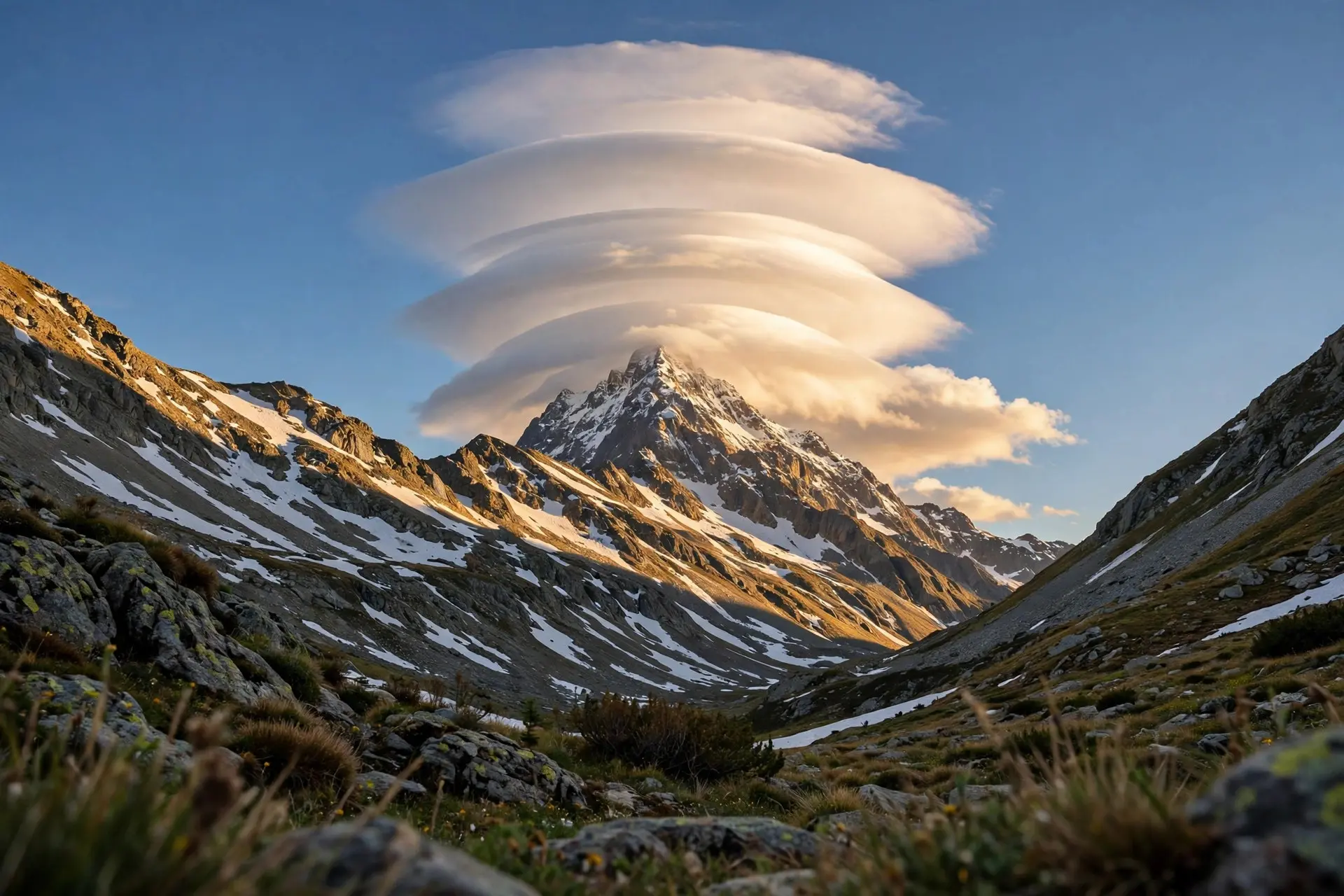
What Are Kelvin-Helmholtz Wave Clouds in the Sky?
Kelvin-Helmholtz wave clouds look like ocean breakers frozen overhead. They form when faster air slides over slower air, a visible sign of strong wind shear.

Key takeaways
- Kelvin-Helmholtz clouds are rows of curls like breaking ocean waves, formed where a faster air layer slides over a slower one.
- They are officially called fluctus, a supplementary cloud feature added to the International Cloud Atlas in 2017.
- The pattern needs wind shear — air speed or direction changing with height — usually with cooler air below warmer air.
- The waves are short-lived and often break into turbulence, which is why pilots treat them as a warning sign.
- They are named for Lord Kelvin and Hermann von Helmholtz, who studied how fluids moving at different speeds disturb each other.
Kelvin-Helmholtz wave clouds look like a row of ocean breakers frozen in the sky. A flat-topped cloud layer suddenly sprouts a neat series of curls, each one leaning forward as if about to crash, before the whole pattern dissolves minutes later. The display is not a trick of the light. It is the visible signature of two layers of air sliding past each other at different speeds, and it is one of the few times the invisible structure of the atmosphere draws itself in the sky.
What exactly are Kelvin-Helmholtz clouds?
In the official language of cloud classification, these formations are called fluctus, from the Latin word for billow or wave. The World Meteorological Organization defines fluctus as a relatively short-lived wave formation, usually on the top surface of a cloud, in the form of curls or breaking waves. It is not a cloud type in its own right but a supplementary feature, something that appears on top of an existing cloud. It shows up most often with cirrus, altocumulus, stratocumulus and stratus, and occasionally with cumulus. Fluctus earned its formal place only recently. When the World Meteorological Organization released its new online International Cloud Atlas on World Meteorological Day in March 2017, fluctus was one of five new supplementary features added to the classification, alongside asperitas, cavum, murus and cauda. Before that, sky watchers had photographed and admired the waves for years without an official name to give them. The 2017 atlas finally wrote the pattern into the global reference book, under the name most people already used: Kelvin-Helmholtz waves. Seen from the ground, the pattern is unmistakable once you know it. The base of the cloud layer stays a straight, horizontal line while the billows rise along its top, usually evenly spaced like the teeth of a comb. Sometimes the waves appear as a high, thin layer of cirrocumulus; sometimes as a mid-level sheet of altocumulus. What unites them is the curl: each crest leans forward and rolls over, exactly like a breaker approaching a beach.
How does wind shear sculpt the waves?
The sculptor is wind shear, the change in wind speed or direction with height. Picture the atmosphere as a stack of layers. In the setup that produces billow clouds, cooler air sits below warmer air, and the upper layer moves much faster than the lower one. The boundary between the two layers is stable at first, a smooth sheet. But the faster air above drags at the top of the cloud layer, and the boundary begins to ripple. As the ripples grow, the faster flow scoops the crest of each ripple forward until it curls over and breaks, just as wind blowing over water raises waves that eventually topple. University of British Columbia teaching material puts useful numbers on the pattern: the waves have relatively short wavelengths, with crest-to-crest distances of hundreds of metres, and the layers involved are relatively thin, also hundreds of metres. That compact scale is why the display looks so orderly from the ground — a whole train of identical curls marching across the sky, each one the same size as the last. The same material explains why the waves are so fleeting. These waves probably occur very often in the atmosphere, but they become visible only rarely, when the rising cool air is relatively humid enough to form cloud in the wave crests. Under the right conditions, parallel bands of cloud form in each crest, and to a viewer on the ground they look like the billows of an accordion. But the faster upper layer is typically drier as well as warmer, so it evaporates the cloud even as it shapes it, and the breaking waves stir the two layers together. The crisp curls therefore fade soon after they form, which is why a Kelvin-Helmholtz display is often gone within minutes of being spotted.
Who were Kelvin and Helmholtz, and what did they study?
The clouds are named for two nineteenth-century physicists, Lord Kelvin and Hermann von Helmholtz, who studied what happens when two fluids move at different speeds. Their work described the disturbance created at the boundary between fluids travelling at different velocities, and the instability that results became known as Kelvin-Helmholtz instability. The same mathematics that describes a curling cloud also describes waves on the sea, the rippling edge of a fast river current, and billows in the atmospheres of other planets: scientists have observed Kelvin-Helmholtz formations on Jupiter and Saturn and in the Sun's corona. That universality is part of the appeal. A Kelvin-Helmholtz cloud is not a quirk of Earth's weather but a glimpse of a fluid-dynamical rule that operates wherever one fluid slides past another. The sky is simply the most photogenic place to see it, because clouds paint the boundary that air alone would leave invisible.
Are Kelvin-Helmholtz clouds dangerous?
For anyone standing on the ground, no. The waves are a feature on a cloud layer, not a storm, and they do not bring rain, hail or high winds to the surface. Their warning is aimed upward, at aircraft. When the waves break, the cloud layer becomes turbulent, and during breaking, swirling eddies sometimes called cat's eye swirls can form, some of them even visible on radar. Pilots prefer to avoid flying at those altitudes because of the turbulence the shear creates, and a row of billow clouds is a visible sign that such turbulence is present. That distinction — harmless to look at, hazardous to fly through — is worth holding onto, because it corrects the most common misconception about these clouds. A sky full of breaking waves can look violent, as if the atmosphere itself were coming apart. In reality the violence is local and high up: a thin layer, hundreds of metres thick, churning where two winds disagree. On the ground, nothing changes except the view. There is one more misconception to clear up. Because dramatic wave clouds are often photographed over mountains, it is easy to assume mountains cause them. They do not. Kelvin-Helmholtz waves are caused by wind shear at the altitude of the cloud and do not need mountains to form. A striking photograph taken over Boulder, Colorado, is sometimes mistaken for a mountain wave cloud, but its cause was shear at cloud level, not air flowing over the Rockies. The same display can appear over flat farmland, coastline or open ocean, anywhere the wind changes sharply enough with height. So the next time a row of perfect curls appears overhead on a windy day, you are looking at the atmosphere sketching its own physics. Two layers of air, moving at different speeds, ripple their shared boundary into waves; the waves curl, break and fade within minutes; and for a brief moment, the sky shows the same instability that shapes ocean surf and the clouds of distant planets. It is a rare sight precisely because it needs everything to line up: shear, stability, humidity and timing. When it does, it is worth stopping to watch — and worth knowing that the pilots overhead are giving it a respectful distance. Noctilucent clouds are another rare sky display, glowing high above the usual cloud layers, while why clouds float explains the basic physics that keeps any cloud aloft, and sun dogs show another striking optical effect in icy skies.
Frequently asked questions
Are Kelvin-Helmholtz clouds a type of cloud?
Not exactly. Fluctus is a supplementary feature that appears on top of existing clouds, most often cirrus, altocumulus, stratocumulus or stratus. It describes the wave pattern, not a cloud genus of its own.
Do Kelvin-Helmholtz clouds mean a storm is coming?
No. They signal strong wind shear and turbulence at the cloud's altitude, which matters for aircraft, but they are not themselves a storm and do not predict one for people on the ground.
Why do Kelvin-Helmholtz clouds disappear so quickly?
The faster upper air is usually drier and warmer, so it evaporates the cloud as it drags it forward, and the breaking waves stir the layers together. The crisp curls therefore fade soon after they form.
Do you need mountains to see Kelvin-Helmholtz clouds?
No. They are caused by wind shear at the cloud's altitude, not by air flowing over terrain, so they can appear over flat ground as well as mountains.
Sources
- Fluctus, World Meteorological Organization
- Billow clouds, University of British Columbia
- International Cloud Atlas and new cloud classifications, Royal Meteorological Society
- The Definition of a Kelvin-Helmholtz Cloud, ThoughtCo