Why Do Clouds Float If They Hold Tons of Water?
A cloud looks like a solid, floating object, yet it is made of falling water. Discover why tiny droplets, rising air and constant renewal keep clouds aloft.

Key takeaways
- Cloud droplets are falling all the time, but most fall so slowly that rising air easily carries them back upward.
- A typical cloud droplet is about 20 micrometres in radius or less, giving it a terminal fall speed of only 1.3 centimetres per second.
- A cloud is not a fixed object: droplets form on one side, evaporate on another, and are continually replaced.
- Rain begins only when droplets grow large enough, through collisions and other growth processes, to fall faster than the air rises.
A cloud does not float the way a boat floats on a lake. Every droplet inside it is sinking, pulled downward by gravity, and has been sinking since the moment it formed. The reason a cloud stays overhead is not that its water has somehow become weightless. It is that the sinking is extraordinarily slow, the air around the droplets is often moving upward, and the cloud itself is being rebuilt moment by moment. What looks like a single solid object is really a busy, shifting zone where water keeps changing form.
How does a cloud form in the first place?
Clouds begin with two ingredients that are easy to overlook: invisible water vapour and specks of dust, salt or smoke floating in the air. When a parcel of moist air rises, it expands because the pressure around it falls with height, and expanding air cools. Once the air has cooled enough, its vapour begins to condense onto those tiny particles, which act as starting points for droplets. The National Weather Service describes these particles as condensation nuclei, and notes that even very clean air contains them in large numbers. That cooling step matters because it explains why clouds appear at particular heights rather than everywhere at once. Air may rise for several reasons: it may be warmed from below until it becomes buoyant, pushed up a hillside, lifted where it meets a colder air mass, or drawn together with other currents until it has nowhere to go but up. In each case, the same sequence follows: rise, expansion, cooling, condensation. The visible base of the cloud marks roughly the level where that condensation begins. The droplets that result are startlingly small. The National Weather Service puts a typical cloud droplet at a radius of about 20 micrometres or less, while the American Meteorological Society gives a general range of 1 to 100 micrometres in diameter for cloud drops. A micrometre is a millionth of a metre, so a single droplet is far thinner than a human hair. Size is the whole secret of the cloud's behaviour, because a tiny object has very little mass compared with the surface area that the air can push against.
Why do such tiny droplets fall so slowly?
When anything falls through air, the air resists its motion. That resistance grows until it balances the pull of gravity, after which the object stops accelerating and falls at a steady pace known as its terminal velocity. For a large, heavy object, that pace is fast. For a microscopic droplet, it is almost comically slow.
The National Weather Service gives an average cloud droplet a terminal fall speed of 1.3 centimetres per second in still air. At that rate, a droplet starting 500 metres above the ground would need more than ten hours to reach the surface if the air stayed perfectly still. The real atmosphere never stays still for that long. Gentle updrafts, turbulence and changing humidity intervene long before such a journey could finish, and many droplets evaporate back into invisible vapour on the way. This is also why the enormous total weight of a cloud is misleading. Gathered together, the water in a large cloud would indeed be heavy, but it is not gathered together in the sense of a bucket of water. It is dispersed through a vast volume as separate particles, each one negotiating with the air on its own. The cloud's overall density, once the air between the droplets is included, is low, and no single droplet presents the air with a large falling mass to deal with.
If droplets are always falling, why does the cloud keep its shape?
A helpful way to picture a cloud is to think of a waterfall seen from a distance. The shape of the falling water looks steady, yet no individual drop of water stays in the same place. A cloud works in a similar way, except that its material is also changing state. On the side where moist air is rising and cooling, new droplets are condensing. On the side where air is sinking or mixing with drier air, existing droplets are evaporating. The outline can therefore hold steady for hours while its contents are completely replaced. Mountain clouds show this especially clearly. Moist wind forced up a slope cools and condenses in the same place again and again, so a cap of cloud can hover over a peak even though the wind is blowing straight through it. The cloud is not parked there like a vehicle. It is a location where conditions keep producing cloud, and air passes through that location continuously. The same renewal explains why a cloud that looks blue in daylight can darken and change character over an afternoon. As more vapour condenses and droplets grow, the cloud becomes thicker and lets less light through. Its shape is a snapshot of an ongoing process, not a portrait of a permanent thing.
What finally makes a cloud rain?
If small droplets fall so slowly, rain requires a growth story. A raindrop is far larger than a cloud droplet: the National Weather Service notes that rain falls with drops larger than one millimetre, and that a single raindrop two millimetres across holds the water equivalent of about a million cloud droplets. Condensation alone grows droplets only slowly, so other processes must do most of the work.
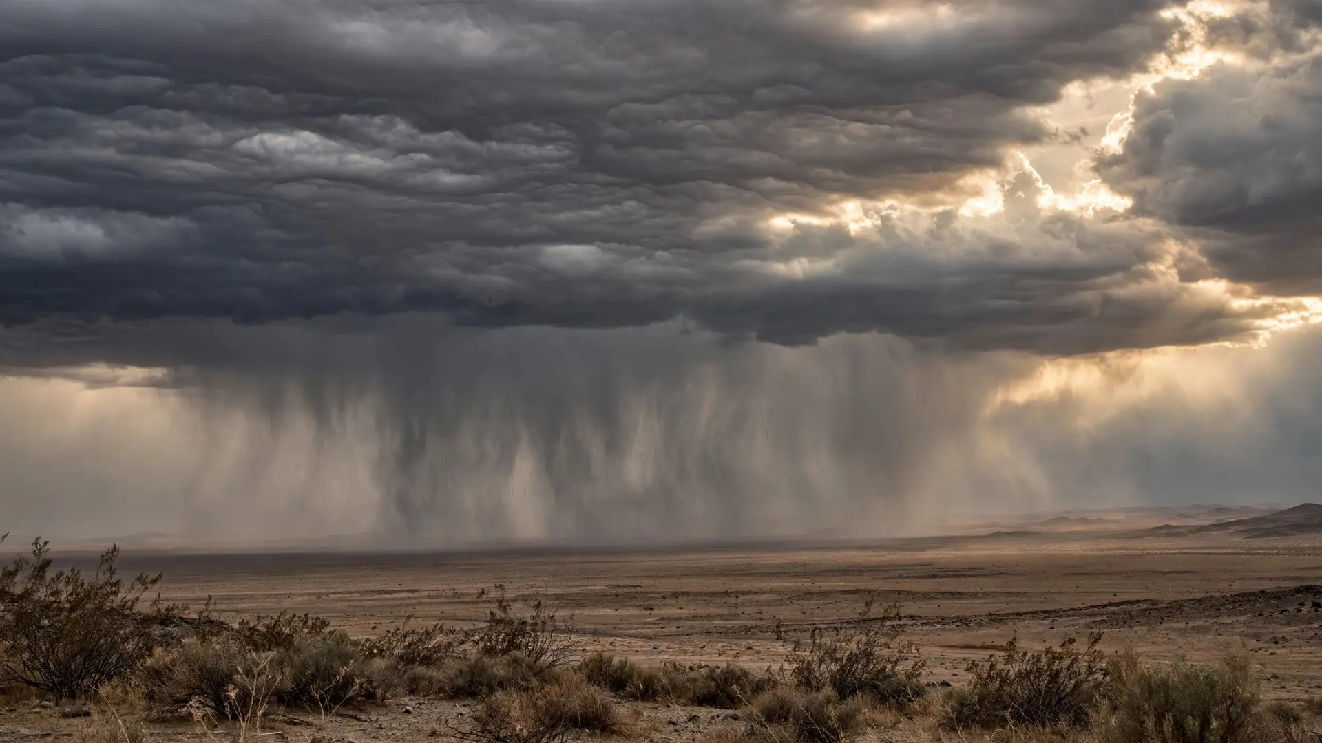
Collisions are one of them. Turbulent currents inside a cloud throw droplets together, and when they merge they form a larger drop that falls faster and can sweep up slower droplets in its path. Where ice crystals are present, another route opens up: water molecules move from supercooled droplets toward ice crystals, which grow at the droplets' expense and can eventually become heavy enough to fall as snow or, after melting, as rain. Strong updrafts help by keeping growing drops inside the cloud longer, giving them more chances to collide and grow. Rain begins, then, when the balance tips. Once a drop is large enough that its falling speed beats the upward speed of the air carrying it, it can make the journey to the ground without evaporating on the way. Smaller droplets left behind continue their slow descent, their evaporation, or their ride back upward, and the cloud carries on as before. That tipping point is also why some clouds produce rain that never arrives: drops falling from a high, dry cloud may evaporate entirely before reaching the surface, a phenomenon that looks like streaks hanging beneath the cloud base. There is one popular simplification worth correcting. It is tempting to say that a cloud floats because warm air is lighter than cold air, or because the cloud as a whole is lighter than the air around it. Warmth and buoyancy do matter, because the rising, condensing air that creates a cloud is part of the story. But they are not a substitute for the droplet-scale explanation. Even in a cloud that is not actively rising, droplets would still take hours to fall through still air, and even a buoyant parcel of air is made of individual particles rather than a sealed, floating vessel. The cloud stays up because its parts fall slowly, because air often lifts them, and because new parts keep replacing old ones. That is also why ice floating on a lake is a different kind of puzzle from a cloud staying in the sky. Ice floats because a solid block of it is less dense than liquid water. A cloud stays aloft because it is not a block at all. It is a crowd: billions of microscopic droplets, each too small to fall quickly, held in a region of the sky where rising, cooling air keeps making more of them. Looked at that way, the wonder is not that clouds defy gravity. It is that gravity, working on such tiny scales, is so easy for a breeze to outpace. And when you watch high, shimmering night clouds or an ordinary summer cumulus, you are watching that quiet contest play out in real time. A cloud, in short, is not an object that floats. It is a process that persists.
Frequently asked questions
Are clouds actually floating like boats on water?
No. Cloud droplets are heavier than air and are always sinking, just very slowly. Rising air, air resistance and constant renewal create the impression that the cloud itself is floating.
Why does a cloud not fall all at once when it rains?
Rain happens droplet by droplet. Only droplets that have grown large enough to outpace the rising air can reach the ground, while the rest of the cloud keeps forming and evaporating.
How heavy is the water inside a cloud?
The total amount can be large because a cloud occupies an enormous volume, but that water is spread out as countless microscopic droplets, each of which interacts separately with the air around it.
Sources
- CLOUD DEVELOPMENT, National Weather Service
- cloud - Glossary of Meteorology, American Meteorological Society
- What are clouds?, Met Office