Baarle: The Town Where Belgium and the Netherlands Interlock
One town, thirty enclaves: Baarle is where the Belgian-Dutch border runs through houses and shops — and the front door decides your country.
Key takeaways
- Baarle holds 22 Belgian enclaves inside the Netherlands, plus 8 Dutch enclaves — seven of them nested inside Belgian ones.
- The border cuts through houses, shops and gardens; a building's country is decided by the location of its front door.
- The patchwork dates to medieval land deals between the Lords of Breda and the Dukes of Brabant, formalized by the 1843 Treaty of Maastricht.
- In 1995 the borders were finally recognized as official state boundaries, ending over 150 years of surveying disputes.
Stand in the middle of Baarle and you can cross from the Netherlands into Belgium, back into the Netherlands, and into Belgium again — all within a few minutes, without ever leaving one small town. Baarle is a single community in the Dutch province of North Brabant, yet it holds thirty separate pieces of territory: 22 Belgian enclaves surrounded by Dutch land, and 8 Dutch enclaves, seven of which sit inside the Belgian ones. The border here does not follow a river or a ridge. It threads through houses, cafes, warehouses and front gardens, marked by studs in the pavement and the flag colors on house numbers.
How did one town end up with two nationalities?
The answer is written in farmland, not in treaties drawn by cartographers. The patchwork began in the Middle Ages, when the land around Baarle was divided between two feudal powers: the Lords of Breda and the Dukes of Brabant. Around 1198, Henry I, Duke of Brabant, made a land deal with Godfried II van Schoten, the Lord of Breda — and kept the most fertile scattered plots for himself and his vassals. The Lord of Breda got everything around and between them. That mattered little for centuries, because everyone involved lived under the same loose feudal order. But the patchwork never got unwound. Built-up and farmed parcels generally stayed with Brabant, the rest with Breda, and the pattern hardened through land swaps, sales and inheritances. When Belgium declared independence from the Netherlands in 1830, those scattered medieval plots suddenly became a problem of sovereignty: the Duke's land became Belgian, the Lord of Breda's land became Dutch. What had been an administrative quirk turned into an international boundary drawn parcel by parcel.
The Treaty of Maastricht, signed on August 8, 1843, tried to settle it. Rather than drawing a clean line, the boundary commission worked through 5,732 individual cadastral parcels, assigning each a nationality according to centuries-old ownership records. Even that did not finish the job. A 1974 commission fixed a 36-kilometer continuous border between the villages of Poppel and Meerle but left the enclaves untouched, and it was only in 1995 that the enclave boundaries were officially recognized as state borders. One small field, enclave H22 near Ulicoten, had its nationality contested from the 1830s all the way to 1995.
Why does the border run through living rooms?
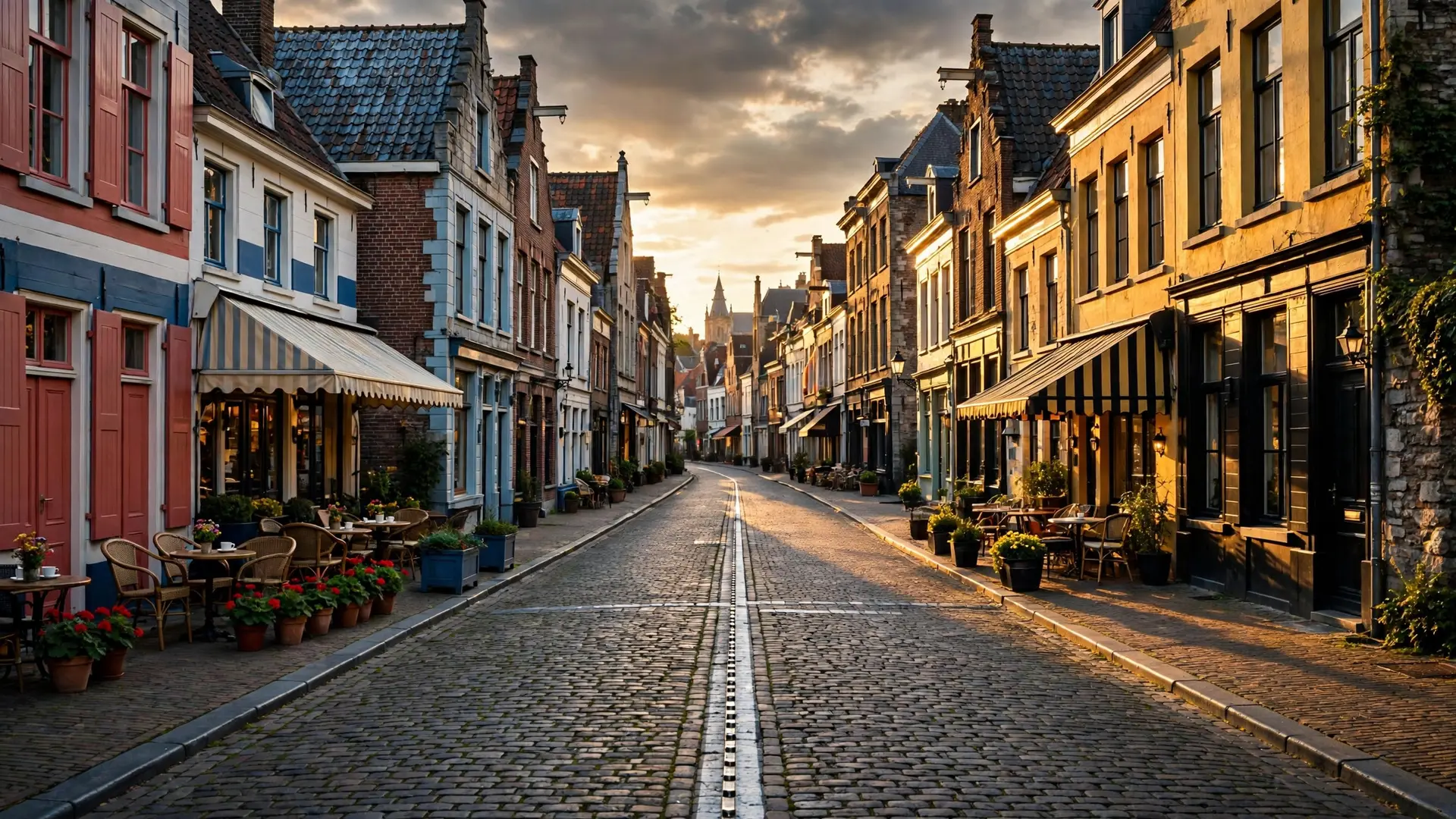
Because the medieval parcels were small and irregular, and the modern town grew up on top of them. The smallest Belgian parcel, H7 — locally known as De Loversche Akkers — measures just 2,469 square metres. The largest, H1, covers about 154 hectares and encloses six Dutch counter-enclaves; it touches enclave H2 at a single quadripoint in the middle of a corn field. Some boundaries slice through warehouses, barns and a liquor store's loading dock. One front door on Loveren street sits exactly on the line, so the house carries two full addresses: Loveren 2 in Belgium and Loveren 19 in the Netherlands. For residents, this is managed by a beautifully simple convention: the front-door rule. Whichever country contains a building's front door determines the building's nationality, its address, and which municipality's registers and utilities apply. The rest of the building can be wherever the medieval parcels put it. The border is visible everywhere. Iron pins, white crosses and metal studs stamped with B or NL are set into pavements and streets; round discs mark it across roads. House numbers come in different national styles, and plaques in black-yellow-red or red-white-blue announce which country a door belongs to. This is a sharp contrast with most European frontiers — why some borders are drawn in dead-straight lines usually involves colonial-era map drawing, not nine centuries of inheritance.
What does daily life look like inside the puzzle?
Surprisingly ordinary. The village holds roughly 9,200 people — about 6,600 in the Dutch municipality of Baarle-Nassau and 2,600 in the Belgian municipality of Baarle-Hertog — and nearly everything is doubled. Two churches, two town halls, two mayors, two post offices, two fire stations and two police forces, which are now housed in the same building. The two towns even run a joint library staffed by Belgian and Dutch employees, and joint municipal bodies coordinate services across the fragments. Historically the split jurisdiction produced sharper contrasts. When Dutch law kept shops closed on Sundays, Belgian-side shops in Baarle could trade, drawing Sunday crowds. Differences in licensing, taxes and trading rules meant that residents occasionally moved a front door — literally repositioning the entrance of a building — to land under more favorable regulations. European integration, and the Schengen Agreement in particular, has smoothed over most of the friction since the 1990s: there are no checkpoints, and the euro is used on both sides. Still, small oddities persist. Because streets crossing the border are not numbered continuously, the same street name and house number can appear twice — once Belgian, once Dutch. Prices can differ between shops a few steps apart thanks to different VAT rates. And locals routinely cross an international border on foot several times during a single walk to the market, a fact the town's tourism office has happily turned into its main attraction.
Why hasn't anyone just redrawn it?
They tried — and gave up. Over the centuries there were several attempts to merge, exchange or simplify the territories, and none succeeded. The parcels are privately owned, built on, taxed and inherited; tidying the map would mean uprooting the lived geography of thousands of people for the sake of cartographic neatness. The Netherlands, after all, is a country that has spent centuries reshaping its own terrain — from polders to reclaimed seabed — yet even it left Baarle's border alone. The real misconception about Baarle is that it must be chaos. In practice it is a case study in how overlapping jurisdictions can function: shared schools, joint services, and municipal cooperation make the fragments livable. The town works not because the border is simple, but because the people on both sides of it stopped needing it to be. That is Baarle's quiet lesson. Borders are supposed to divide cleanly, and most do. Here, a line drawn by soil quality eight centuries ago still decides which flag hangs beside your house number — and life carries on around it without a second thought.
Frequently asked questions
How many enclaves are there in Baarle?
Thirty in total: 22 Belgian enclaves belonging to Baarle-Hertog sit inside Dutch territory, while 8 Dutch enclaves belonging to Baarle-Nassau exist — seven of them as counter-enclaves nested within the Belgian ones, and one inside the main Belgian parcel of Zondereigen.
How is a house's nationality decided in Baarle?
By the position of its front door. A long-standing local rule treats the front door's country as the building's nationality, settling its address, municipal registration and utilities. One house on Loveren street sits so exactly on the line that it carries two addresses: Loveren 2 in Belgium and Loveren 19 in the Netherlands.
When did Baarle's borders become official?
The patchwork was surveyed under the Treaty of Maastricht of 1843 after Belgian independence in 1830, but the enclave boundaries were only formally recognized as national borders in 1995. One enclave, H22, had its nationality contested from the 1830s until that year.