Where Do Three Countries Meet at a Single Point?
A tripoint is one surveyed spot where three national borders converge. From a Dutch hilltop to an Arctic lake, these markers turn invisible lines into places.
Key takeaways
- A tripoint is the single surveyed point where the borders of three countries converge, usually marked by a stone, cairn or concrete monument.
- At Vaalserberg, the Netherlands, Belgium and Germany meet — a spot that was a four-country point until Neutral Moresnet joined Belgium.
- The Three-Country Cairn in the Arctic marks where Finland, Norway and Sweden meet, in a lake about 10 metres from shore.
- Kazungula looks like a four-country point, but Zambia and Botswana share a short border there, so it is really two tripoints, not one quadripoint.
A border is a line, but a tripoint is a place. It is the single surveyed spot where three countries' borders converge, and somebody has usually put a stone, a cairn or a concrete monument there so you can stand on it. Borders are legal abstractions drawn on maps; tripoints are where those abstractions become physical, walkable ground. That is why they attract visitors out of all proportion to their size: a few square metres of stone and paint where three sovereignties touch. The most famous tripoints are not dramatic landscapes. They are ordinary hilltops, lake shores and river junctions made strange by what meets there. And the most interesting of them carry a twist: several of today's three-country points used to be something else entirely.
What exactly is a tripoint?
A tripoint exists wherever three states' border lines run into each other. Two countries share a border line; add a third neighbour and the lines must meet somewhere, and that meeting point is the tripoint. Surveyors fix its position by treaty and by measurement on the ground, and the countries involved usually mark it together so that there is no doubt about where one territory ends and the next begins. The marker itself can be modest. It might be a carved stone with a letter for each country on its faces, a pile of stones, or a concrete block painted in national colours. The point can sit anywhere the borders happen to run: on a hilltop, in the middle of a lake, on a riverbank, or in a forest clearing. What matters is not the scenery but the geometry. Three lines, one intersection, three jurisdictions meeting at a point with no gap and no overlap. That precision is also why tripoints move, or appear to. Borders defined by rivers shift when rivers change course, and borders defined by old treaties can turn out to have been marked in the wrong place. A tripoint is only as exact as the surveys and agreements behind it, and history has a habit of revising both.
Why was Vaalserberg once a four-country point?
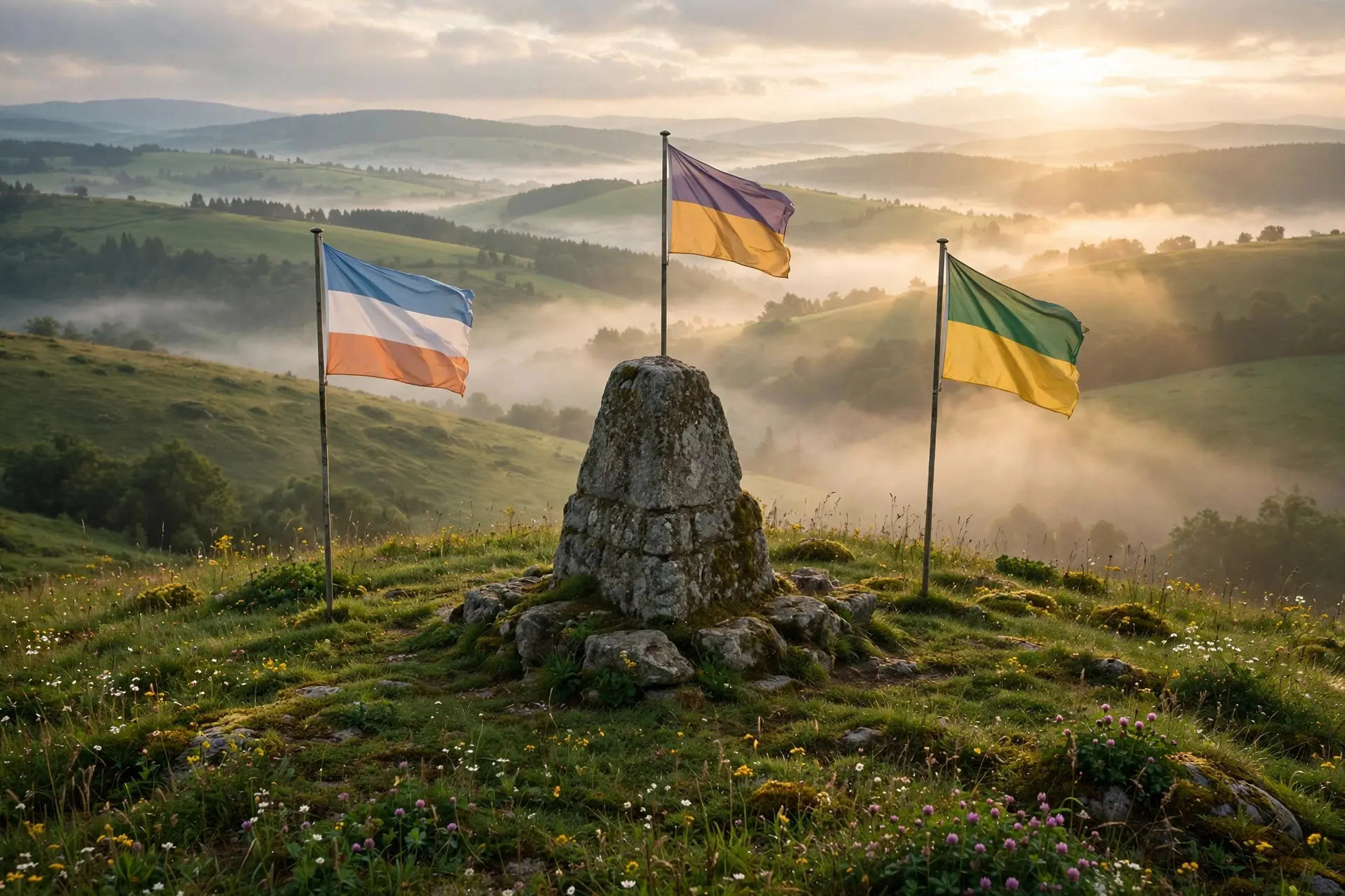
The best-known tripoint in western Europe sits on the Vaalserberg, a hill near Vaals in the Netherlands, where the borders of the Netherlands, Belgium and Germany meet. The site is called the Drielandenpunt, the three-countries point, and it is also the highest point of the European Netherlands. Visitors walk paths across the three borders and pose beside the marker stone and the flags of the three nations.
What makes the Vaalserberg special is that until about a century ago, it was not a tripoint at all. It was a four-country point. The site's own history explains why: after Napoleon was defeated at Waterloo in 1815, the Congress of Vienna redrew the map of Europe, and one small border caused an outsized argument. Prussia and the newly created United Kingdom of the Netherlands both wanted the zinc mine at Kelmis, just below Vaals. Neither side would give way, so the disputed triangle between their two proposed border lines was left undivided, as neutral territory. That territory became Neutral Moresnet, a tiny condominium administered jointly by its two powerful neighbours. For roughly a century, the hilltop marked the meeting of four territories: the Netherlands, Prussia, Belgium (after its independence) and Neutral Moresnet. After the First World War, Neutral Moresnet was awarded to Belgium, and the four-country point quietly became a three-country point again. The road to the site is still called the Viergrenzenweg, the Four Borders Road, a name that preserves the vanished fourth country. The hilltop has kept surprising people since. Old postcards show that the border poles and the highest-point monument have been moved over the years, and research by landscape architects working on the site found that the highest point of the European Netherlands had been indicated in the wrong place since 1928. Generations of visitors posed at the wrong spot. It is a fitting confusion for a place defined by lines on a map: even the markers of a marker can drift.
What is the northernmost tripoint in the world?
For a wilder version of the same idea, travel to the far north of Finnish Lapland, where Finland, Norway and Sweden meet in a lake. The Three-Country Cairn, known in Finnish as Kolmen valtakunnan rajapyykki and in Swedish as Treriksröset, is a yellow concrete monument shaped like a truncated cone, standing about 10 metres offshore in Lake Goldajärvi. A wooden boardwalk lets visitors walk out to it and step between three countries in seconds. The cairn's history shows how slowly border points settle. The border in this remote region was fixed by treaty in the eighteenth century, but no marker stood at the tripoint itself for decades. The first stone pile was raised in 1897 by Norway and Russia, which then ruled Finland. Sweden did not agree with the border commission's work and contributed its stone only in 1901. The current concrete monument dates from 1926, and it still carries the names of three kingdoms even though Finland has been a republic since 1917.
Reaching it is part of the point. In summer, visitors take a boat across Lake Kilpisjärvi and walk about three kilometres through the Malla Strict Nature Reserve, or hike the full eleven kilometres from the village of Kilpisjärvi. In winter, the lake freezes and the cairn is reached by ski or snowmobile track. There are no passport checks, since all three countries are in the Schengen Area, but the journey itself is a reminder that a tripoint is not just a coordinate: it is a place you have to travel to, at the far edge of three maps.
Why is there no true four-country point?
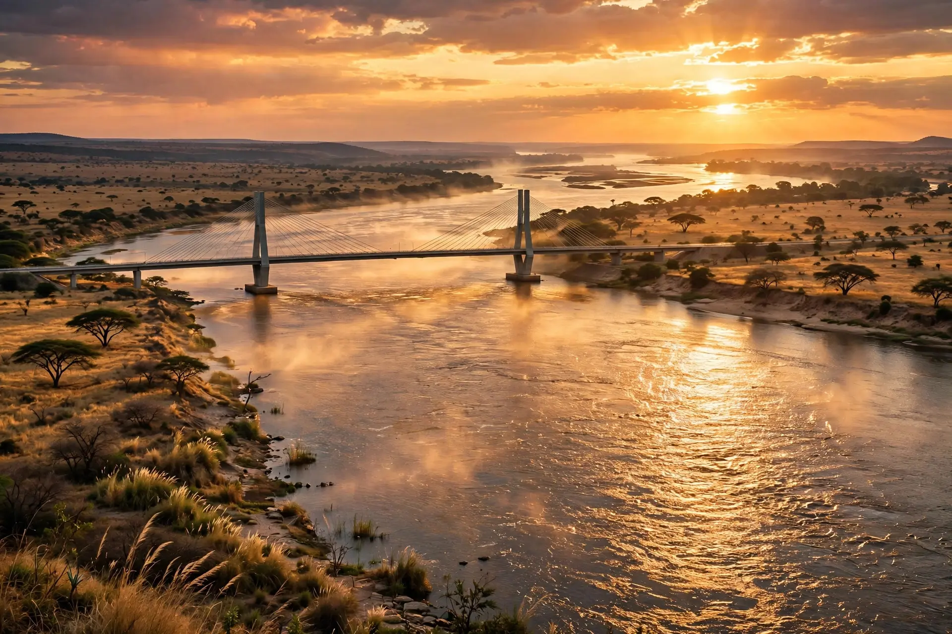
If three countries can meet at a point, why not four? The obvious candidate is Kazungula in southern Africa, where Zambia, Botswana, Zimbabwe and Namibia come together at the meeting of the Chobe and Zambezi rivers. For years it was described as the world's only quadripoint, the place where four nations touch. Look closer, though, and the point dissolves. Zambia and Botswana do share a border at Kazungula, but it is narrow, only around 150 metres wide. That short strip means the four borders do not converge on a single point at all: instead, there are two tripoints joined by a short Zambia–Botswana line. Namibia and Zimbabwe never quite touch. The curved Kazungula Bridge, opened in 2021 and stretching 923 metres across the Zambezi, was deliberately designed to bend around the neighbouring territories, a piece of engineering shaped by the very border puzzle it crosses. That near-miss is the honest answer to the four-country question. Surveyors and treaties can arrange for three lines to meet exactly, but four lines meeting at a single mathematical point requires a coincidence of geography and diplomacy that has not survived contact with real rivers and real negotiations. The Vaalserberg once had it, briefly, through the accident of Neutral Moresnet. Today, no place on Earth does. Tripoints endure because they make something abstract tangible. A border is an idea enforced by law; a tripoint is a stone you can touch, with a different country on each side of it. Stand at one and you are standing on the exact spot where three different sets of laws, languages and histories meet — and, if you pick the right hilltop, on the spot where a fourth country used to stand as well. For other places where borders behave strangely, see the enclaves of Baarle, where Belgium and the Netherlands interlock street by street, the Diomede Islands, split by the International Date Line, and Bir Tawil, the land no country claims.
Frequently asked questions
What is a tripoint?
A tripoint is the exact point where the borders of three countries meet. It is a surveyed location, usually marked on the ground by a stone, a pile of stones called a cairn, or a concrete monument, so that the invisible border lines have a visible meeting place.
Can you stand in three countries at once?
Yes, at marked tripoints such as Vaalserberg and the Three-Country Cairn in the Arctic, visitors can place a foot on either side of the marker lines and be in three countries at the same moment. At Vaalserberg the point sits on a hilltop; at the Arctic cairn it sits in a lake reached by a boardwalk.
Is there anywhere four countries meet at one point?
No true quadripoint exists today. Kazungula in southern Africa comes closest, but Zambia and Botswana share a short border of around 150 metres there, which splits the meeting into two tripoints joined by that short line.
Why did Vaalserberg once have four countries?
After the Congress of Vienna redrew Europe's map in 1815, Prussia and the United Kingdom of the Netherlands could not agree on the border near a zinc mine at Kelmis, so the disputed triangle was left neutral as Neutral Moresnet. It lasted for about a century before joining Belgium, turning the four-country point back into a tripoint.