What Is the World's Shortest International Border?
Botswana and Zambia share a border of only about 150 metres in the Zambezi at Kazungula — a colonial-era accident that made the world's shortest frontier.
Key takeaways
- The Botswana-Zambia border at Kazungula is only about 150 metres long, running through the Zambezi River between two tripoints.
- It is not a true quadripoint: Namibia, Botswana and Zambia meet at the western point, while Zambia, Zimbabwe and Botswana meet at the eastern one.
- The sliver exists because Namibia's Caprivi Strip reaches the Zambezi, a corridor Germany sought in 1890 for river access.
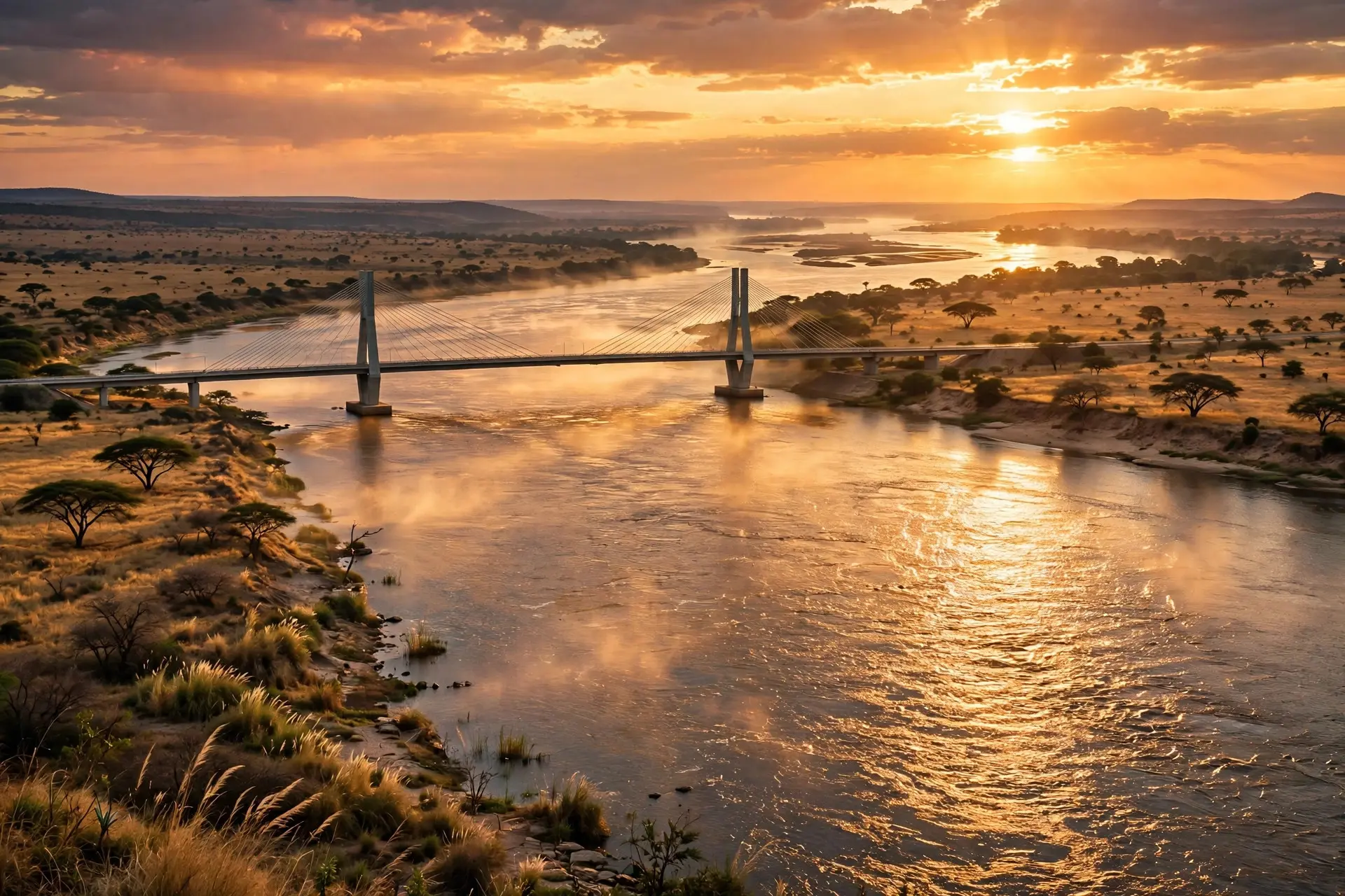
- A 923-metre bridge opened in May 2021 now crosses the border, replacing the pontoon ferry that once served the crossing.
The world's shortest international border is about as long as one and a half football pitches. It runs between Botswana and Zambia, through the middle of the Zambezi River at Kazungula, and measures roughly 150 metres. There is no fence, no wall and no marker post out in the water — just a short stretch of river that happens to separate two countries, wedged between two points where three countries meet. That tiny line is the answer to a geographical riddle that has confused mapmakers for decades. Travellers have long called Kazungula the "Four Corners of Africa," the spot where Botswana, Namibia, Zambia and Zimbabwe supposedly touch at a single point. The reality, confirmed by satellite imagery and the legal consensus around the border, is subtler and stranger: the four countries come tantalisingly close to meeting, but they never quite do. Instead, the Zambezi at Kazungula holds two tripoints — places where three borders meet — separated by that 150-metre Botswana-Zambia stretch.
Why do two tripoints exist instead of one quadripoint?
A tripoint is the point where the borders of three countries converge. A quadripoint, where four meet at one spot, is far rarer, and no true four-country quadripoint exists anywhere on Earth today. Kazungula looks like one on a small-scale map because the four countries are squeezed into a tiny area where the Chobe river system meets the Zambezi, at the eastern tip of Namibia's long, narrow Caprivi Strip. Look closer, though, and the geometry resolves into two separate junctions. At the western point in the river, Namibia, Botswana and Zambia come together. At the eastern point, Zambia, Zimbabwe and Botswana meet. The short line joining them is the entire Botswana-Zambia border — and it is the only place in the world where a border between two countries exists solely to prevent a quadripoint from forming.
The distinction is more than pedantry. For years the question of whether the four countries truly met at one point carried real consequences. In 1970, when Zambia and Botswana set up a ferry across the Zambezi at Kazungula, South Africa — which then controlled Namibia — argued that all four countries met at a quadripoint and questioned whether Zambia and Botswana had the right to run a ferry crossing without the other two countries' permission. The Rhodesian military went so far as to sink the ferry. Zimbabwe later objected again when Botswana and Zambia agreed to replace the ferry with a bridge, arguing the bridge would cross Zimbabwean territory. The double-tripoint reading settled the matter in practice: Botswana and Zambia do share a border, however short, and the bridge could go ahead.
How did a colonial land deal create a 150-metre border?
The short border is a side effect of one of colonial Africa's oddest map features: the Caprivi Strip, a finger of Namibian territory about 450 kilometres long and only 32 to 105 kilometres wide, stretching east from the main body of Namibia to the Zambezi River. The strip was part of German South West Africa from 1884 to 1919, ceded by Britain to give the German colony access to the Zambezi, and named after Leo, Graf von Caprivi, the German chancellor of 1890 to 1894. After the First World War it became part of South West Africa, administered under mandate by the Union of South Africa, and eventually part of independent Namibia. Germany's prize was river access that never paid off: the Zambezi at that stretch could not carry German shipping to the sea, blocked downstream by rapids and waterfalls. But the strip's eastern tip stayed on the map, and its tip now juts into the Zambezi almost exactly opposite the point where Zimbabwe's territory reaches the river's southern bank. Botswana, sandwiched between the two on the south bank, is left with only about 150 metres of Zambezi river frontage — the gap between the Caprivi tip and Zimbabwe's westernmost point. That gap is the whole of its border with Zambia.
It is worth noting how unsettled the measurement itself remains. Published figures for the border range from about 135 to about 150 metres, because the line runs through shifting river channels and the four countries have never completed a joint boundary survey. Until such a survey happens, the exact length stays approximate — but every serious reading puts it at the shortest end of the scale, far below any other land boundary on the planet.
What crosses the shortest border today?
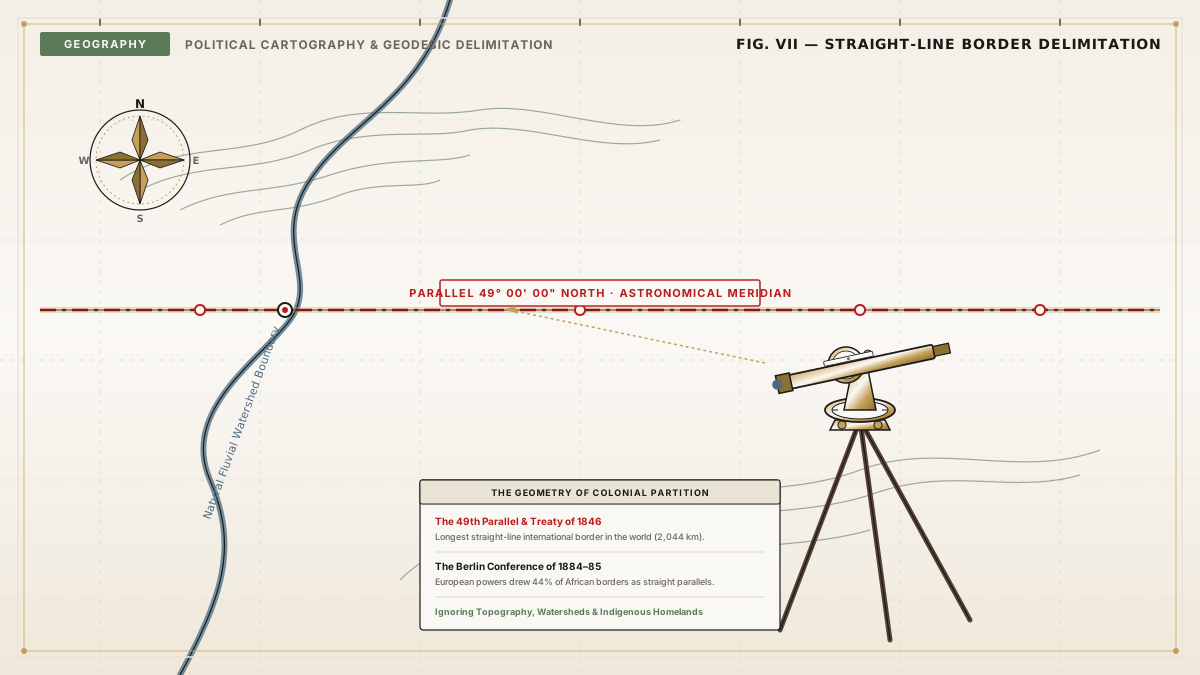
For decades the only way across was the Kazungula pontoon ferry, one of the largest ferries in south-central Africa, which cut across roughly 400 metres of river between the two towns both named Kazungula. The ferry served road traffic from Zambia, Zimbabwe and Botswana directly, and from Namibia, South Africa and the Democratic Republic of Congo indirectly — a remarkable workload for a crossing whose international border is shorter than the ferry's own route. That changed on 10 May 2021, when the 923-metre Kazungula Bridge opened, finally giving Botswana and Zambia a fixed crossing of their own. The bridge also ended the long-running argument in the most practical way possible: trucks and travellers now cross a border that, for all its brevity, is a fully functioning international frontier. Before the bridge, much Botswana-Zambia trade had to detour through Zimbabwe and pay transit taxes there; the direct crossing lets the two countries trade freely with each other for the first time. The story of the shortest border is, in the end, a story about how borders are really made. Most frontiers follow rivers, mountain ranges or lines drawn with a ruler on a colonial map — the kind of straight-line borders that slice across whole continents. At Kazungula, the ruler, the river and the shifting channels collided to produce something almost absurd: a border so short that the bridge crossing it is six times longer than the border itself. It is a reminder that the lines on a map are not always grand statements of geography. Sometimes they are accidents, squeezed into existence by the neighbours around them — like the rotating sovereignty of Pheasant Island or the tangled enclaves of Baarle, proof that the world's borders are often stranger than the maps suggest.
Frequently asked questions
Which two countries share the world's shortest international border?
Botswana and Zambia. Their shared border runs for only about 150 metres through the Zambezi River at Kazungula, between the points where Namibia and Zimbabwe respectively join the line.
Is Kazungula really a place where four countries meet?
Almost, but not quite. The four countries come within about 150 metres of meeting, but the accepted reading is two tripoints joined by a short Botswana-Zambia line, not a single four-country point.
Why is the Botswana-Zambia border so short?
Because the tip of Namibia's Caprivi Strip reaches the Zambezi almost exactly where Zimbabwe's western edge begins, leaving only a tiny gap of river between them for Botswana and Zambia to share.
Can you cross the Botswana-Zambia border at Kazungula today?
Yes. The Kazungula Bridge, opened in May 2021, carries traffic across the Zambezi between the two towns both called Kazungula, replacing the old pontoon ferry.
Sources
- Double Tripoint in Southern Africa, NASA Earth Observatory
- Two tripoints, not a quadripoint exist at Kazungula on Zambezi River, Dubawa
- Caprivi Strip, Encyclopaedia Britannica