The Diomede Islands: Neighbors Split by the Date Line
Big and Little Diomede sit just 3.8 km apart in the Bering Strait — yet they are 21 hours apart in time and a forbidden crossing between the US and Russia.
Key takeaways
- Big and Little Diomede stand just 3.8 km apart in the Bering Strait — the closest point between the United States and Russia.
- The International Date Line runs between the islands, putting Big Diomede 21 hours ahead of Little Diomede.
- Big Diomede's Iñupiat residents were forcibly relocated to the Russian mainland in 1948; it is now a restricted military area.
- A winter ice bridge usually forms between the islands, but travel across it is forbidden.
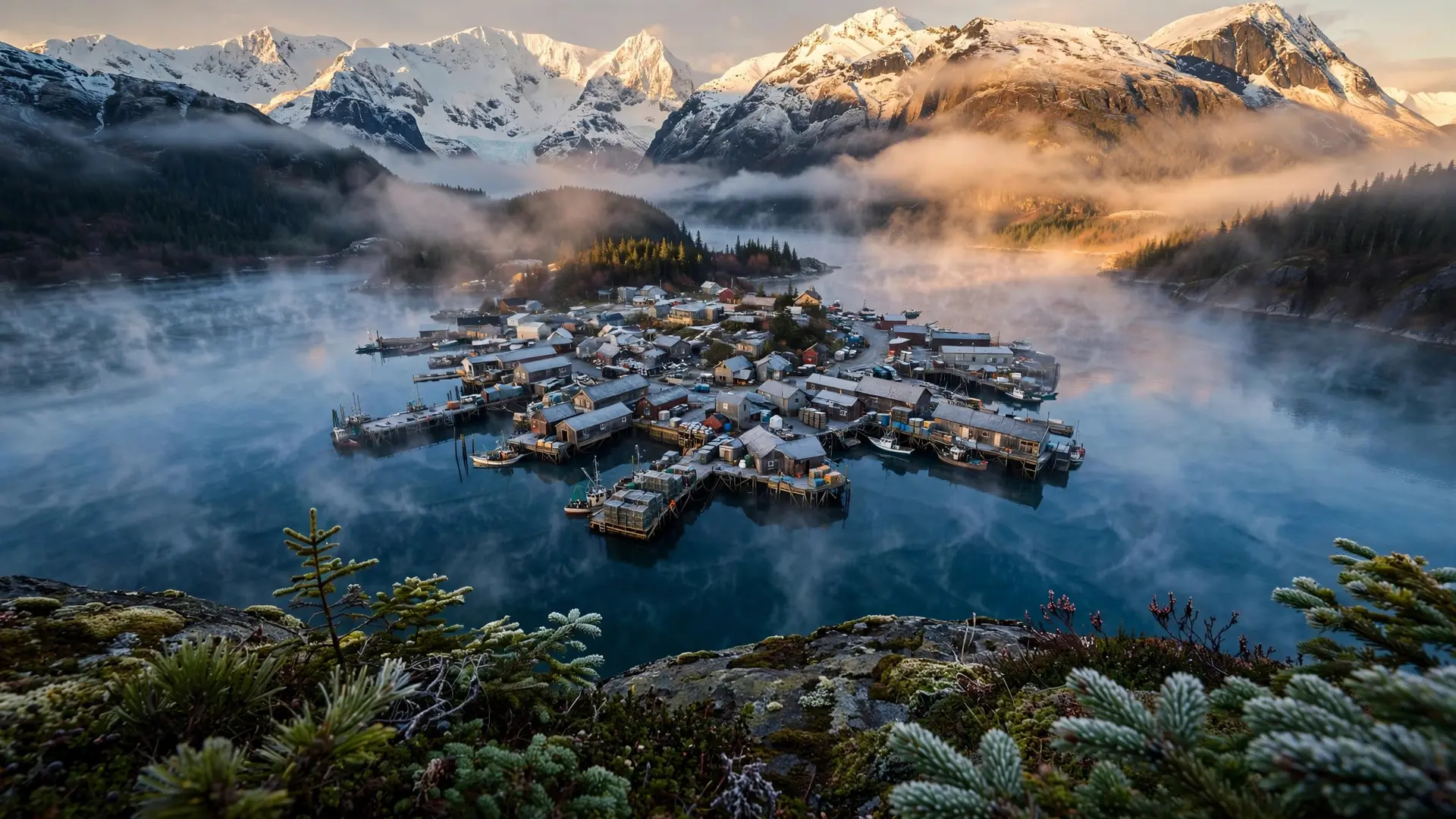
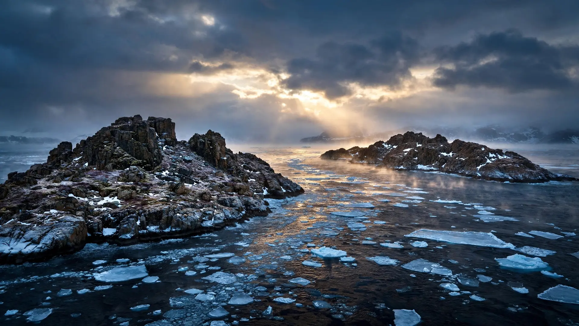
Stand on Little Diomede in the Bering Strait on a clear day and you can look west across the water to a second island so close it seems touchable. But the island you are looking at is tomorrow. Big Diomede sits just 3.8 kilometers away — and 21 hours ahead in time, across the International Date Line, in a different country. The gap between the two islands is one of the shortest distances on Earth to travel a full day. The Diomedes are often called Tomorrow Island and Yesterday Island, and the nicknames are literal. From Little Diomede, the American island, you can watch the sun rise on Big Diomede — "Tomorrow Island" — a day you have not lived yet. That tiny, visible gap contains a national border, a military restricted zone, and one of the sharpest geopolitical divides of the 20th century.
What are the Diomede Islands?
The two islands sit in the middle of the Bering Strait, the narrow waterway between Alaska and Siberia. They are the nearest point between the United States and Russia: the maritime border between the two countries runs in the water between them, and the International Date Line follows that border. Big Diomede belongs to Russia's Chukotka Autonomous Okrug; Little Diomede is part of the US state of Alaska. Big Diomede, the western and larger of the pair, covers about 10 square kilometers. It is the easternmost point of Russian territory. Little Diomede covers roughly 6 to 7 square kilometers and holds a single community on its western shore, the Iñupiat village of Diomede — which faces directly across the water toward Big Diomede and Russia. Its population has been reported anywhere from about 77 to 146 people in recent years, with one 2021 estimate putting it at 82 residents. The villagers have hunted whales and seals from these waters for generations, in sight of the island their grandparents once visited freely.
The islands got their shared name from Vitus Bering, the Danish explorer in Russian service, who first sighted them on August 16, 1728 — St. Diomede's feast day. Before that, the islands had long been home to Iñupiat families, who moved between both islands freely for centuries.
How did two islands become 21 hours apart?
The time gap is a quirk of the International Date Line. When the date line was drawn, it was routed to keep each country on its own calendar day — which meant splitting the strait so that the Russian side fell a full day ahead of the American side. Big Diomede is roughly 21 hours ahead of Little Diomede: twenty-one hours, not twenty-four, because Alaska's time zone offset does not align exactly with Russia's Chukotka time. When Alaska observes daylight saving time, the gap shrinks to 20 hours, because Russia does not move its clocks forward. Either way, the arithmetic is startling: at any given moment, one island can be living nearly a whole day in the future of the other. Two neighbors, sharing a view, divided by tomorrow. This is the same kind of cartographic oddity that makes borders do strange things elsewhere — straight lines drawn by treaty can cut communities in half, as explained in our look at why some country borders are straight lines. The date line is invisible, but its effect is just as real.
Why can't you visit the island you can see?
Distance is not the barrier; politics is. In winter, an ice bridge usually forms between the islands, and the 3.8 kilometers would be walkable in under an hour. But crossing from one island to the other means crossing an international border illegally. There is no checkpoint, no visa office, and no legal path — the journey is simply forbidden.
The harder separation happened in 1948, when Soviet authorities forcibly relocated Big Diomede's Iñupiat residents to the Russian mainland. The island has had no permanent population since. Today it holds a Russian weather station inside a restricted military area, and unauthorized landings are not permitted. Families that once paddled between the islands have not seen each other across that water for generations. Little Diomede's community still lives in sight of its lost counterpart. The village of Diomede faces Big Diomede directly — its houses look out at an island that is technically tomorrow, and technically off-limits.
What was the "Ice Curtain"?
During the Cold War, the Bering Strait earned a grim nickname: the Ice Curtain, a frozen echo of Europe's Iron Curtain. The Diomede Islands were the two points where the Soviet Union and the United States stood closest — close enough to see, close enough to shout, and utterly unable to cross. Military radar and surveillance posts turned the islands into a front line of the northern confrontation. The tension softened after the Cold War ended, and for a time there was cautious talk of renewed contact across the strait. But the border has never reopened in practice. The Diomedes remain what they were: two islands a short walk apart, on opposite sides of one of the world's most tightly drawn lines. If the odd borders of Baarle-Nassau show how borders can thread through backyards, the Diomedes show the opposite — how a border can make two neighbors into strangers.
A day you can see but never visit
The Diomede Islands compress a lot of modern geography into 3.8 kilometers: an international date line, a national border, a Cold War scar, and a relocated community. The islands remind us that the maps we draw are not just about distance — they are about who gets to move, who gets to stay, and which day it is when they do it. Little Diomede's residents will keep watching Big Diomede rise into a tomorrow they can see clearly and never enter. Two islands, one horizon, and a full day between them — that is what the date line looks like when you can stand on it.
Frequently asked questions
How far apart are the Diomede Islands?
At their closest point, Big and Little Diomede are about 3.8 km (2.4 miles) apart in the Bering Strait. On a clear day, residents of Little Diomede can see Big Diomede on the horizon.
Why are the Diomede Islands 21 hours apart?
The International Date Line runs between them along the US–Russia maritime border. Big Diomede (Russia) is roughly 21 hours ahead of Little Diomede (USA), earning them the nicknames 'Tomorrow Island' and 'Yesterday Island.'
Can you travel between the Diomede Islands?
No. An ice bridge usually forms in winter, making the gap theoretically walkable, but crossing between the two countries' islands is forbidden.
Does anyone live on Big Diomede?
Big Diomede has no permanent residents today. Its Iñupiat inhabitants were relocated to the Russian mainland in 1948, and the island now holds a Russian weather station inside a restricted military zone.