Why Is It So Hard to Measure Australia's Coastline?
Why is Australia's coastline so hard to measure? Published lengths run from 19,320 km to 59,681 km — each figure is correct for the ruler its source used.
Key takeaways
- Australia's official coastline is 59,681 km (37,084 miles): 35,821 km of mainland coast plus 23,860 km around its islands.
- Published figures range from 19,320 km to 59,681 km, and every one was correct for the ruler and map scale its source used.
- This is the coastline paradox: a shorter measuring ruler captures more bays and coves, so the measured length grows.
- Lewis Fry Richardson noticed the effect in the 1920s; Benoit Mandelbrot explained it with fractals in a 1967 paper.
- Australia has 8,222 islands, and almost 40 percent of its total coastline length comes from islands alone.
Australia's official coastline is 59,681 km (37,084 miles), says Geoscience Australia. It is also wrong. The 1978 Year Book of Australia said 36,735 km; the CIA World Factbook said 25,760 km. Every figure was correct for the ruler its author used. That is the coastline paradox.
- 59,681 km (37,084 miles): Geoscience Australia's official total: 35,821 km of mainland coastline plus 23,860 km around islands. (Geoscience Australia)
- 1:100,000: the map scale behind the official figure; Geoscience Australia warns that new measuring technology will push the number higher. (Geoscience Australia)
- 8,222: the number of islands within Australia's maritime borders, from tide-washed rocks to K'gari, the world's largest sand island. (Geoscience Australia)
- Nearly 40 percent: the share of Australia's total coastline length that comes from islands alone. (Geoscience Australia)
- 1.143: the fractal dimension of Australia's coastline, calculated in a 2021 Nature paper; Great Britain's is 1.25. (Nature)
- 987 km vs 1,214 km: Spain's and Portugal's competing figures for their shared border, the discrepancy that first caught Lewis Fry Richardson's eye. (Britannica)
How long is Australia's coastline, really?
Pick a number: they are all defensible.
| Published figure | Source | What was measured |
|---|---|---|
| 19,320 km (12,005 miles) | Australian handbook | Coarse-scale measurement |
| 19,658 km (12,215 miles) | Australian Encyclopedia | Coarse-scale measurement |
| 25,760 km (16,006 miles) | CIA World Factbook (2022) | Method and scale not stated |
| 36,735 km (22,826 miles) | 1978 Year Book of Australia | Finer-scale measurement |
| 47,070 km (29,247 miles) | Galloway & Bahr, 1979 | 162 maps measured with dividers, islands included |
| 59,681 km (37,084 miles) | Geoscience Australia, current | 2004 GEODATA Coast 100K at 1:100,000 |
| A 2021 paper in Nature Scientific Reports laid these figures side by side and reached the verdict that matters: "The answer is: all of them! Each source used a ruler with different size." (Nature) The official figure is not more "true" than the others; it is the most detailed measurement so far, from the most authoritative data (the national 1:100,000 topographic map series), and even its authors flag the limits. Geoscience Australia states plainly that the accuracy of a coastline length depends on the scale of the maps used, and that newer technology will only make the number grow. It is not a quantity you can pin down; it is a quantity that expands as your ruler shrinks. |
Why does the ruler change the answer?
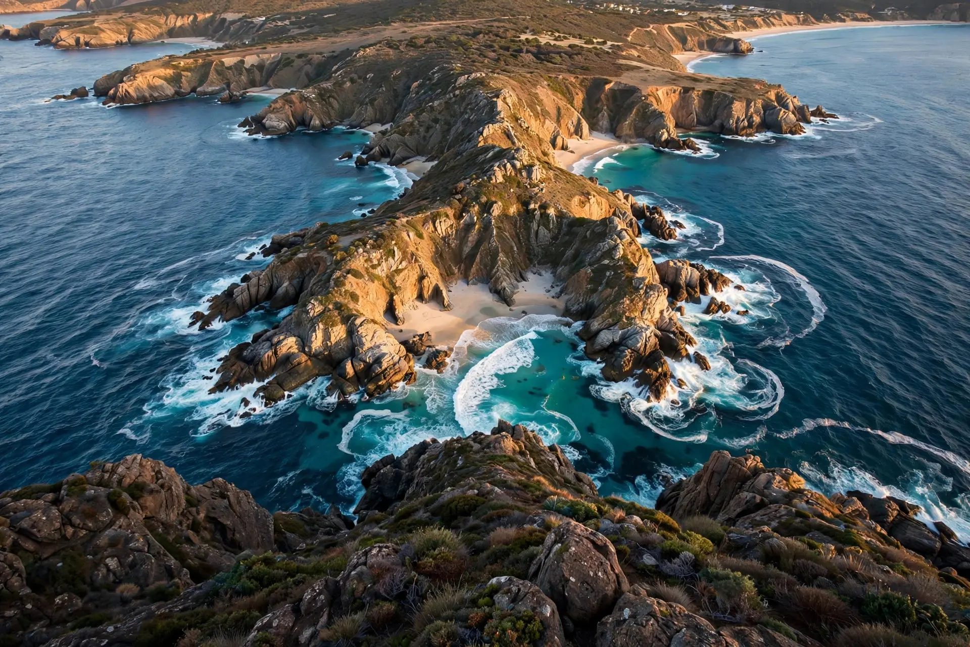
Coasts have no straight lines. Bays, coves, inlets and peninsulas interrupt every stretch of shore. When you measure with a long ruler, you skip over them, drawing straight segments across the mouths of bays. When you switch to a shorter ruler, the ruler follows every curve and inlet, and the measured length grows. For a smooth curve, the length would settle as the ruler shrank. For a coastline, it keeps growing instead of approaching a limit. (Britannica) An Australian GIS consultancy, TerraLab, demonstrated the effect with Phillip Island in Victoria: on a generalized map the island's coast measures short; zoom into its bays and the length climbs. The effect is not small. Moving from handbook-scale measurement to 1:100,000 maps roughly tripled Australia's quoted length, from around 19,320 km to 59,681 km, and even that official figure excludes anything finer than its map source could show. This is why the trivia question has no stable answer. Ask how long Australia's coast is and the honest reply is a question in return: how long is your ruler?
Who discovered the coastline paradox?
The effect was first noticed in the 1920s by Lewis Fry Richardson, an English mathematician, physicist and meteorologist. He was studying whether the length of a shared border predicted the likelihood of war between neighbors, and he ran into a problem. Spain said its border with Portugal was 987 km; Portugal said 1,214 km (754.3 miles). Both countries had measured carefully. The difference came from the ruler: Portugal had measured at a finer scale, following more of the border's twists. Richardson's findings appeared posthumously in 1961 in a paper titled "The Problem of Contiguity: An Appendix of Statistics of Deadly Quarrels." (Britannica) Richardson went on to measure coastlines (Australia, South Africa and the west coast of Britain among them) with dividers at different scales. Plotted on log–log axes, the measurements fell on straight lines, each with its own slope. Yale's fractal geometry archive preserves his numbers: the west coast of Britain sloped at −0.25, Germany at −0.15, Portugal at −0.14 and South Africa at −0.02, against 0 for a smooth curve. (Yale University) The explanation came from Benoit Mandelbrot in 1967, in the paper "How Long Is the Coast of Britain? Statistical Self-Similarity and Fractional Dimension." Mandelbrot showed that coastlines are self-similar (they look roughly the same at any scale you view them), and that the slope of Richardson's line gives a fractal dimension, a number between 1 (a straight line) and 2 (a plane) that measures how wiggly a curve is. (Britannica) For Australia, a 2021 team of mathematicians computed the fractal dimension by the box-counting method across 17 scales, from 1,000 km down to half a kilometer. The answer: 1.143, close to the 1.130 that Richardson and Mandelbrot's divider method gives. For comparison, Great Britain's is 1.25 and South Africa's is 1.02. TerraLab characterizes Australia's coast as relatively smooth and less fractal than Norway's or New Zealand's; its wiggle is mild, which is why the growth with scale is dramatic but not explosive. (Nature)
The same paper produced a power law for the mainland: L(r) = 38910.4251 × r^(−0.1426), where r is the ruler length in kilometers. At 1 km resolution, the mainland coastline measures about 38,910 km (24,178 miles), in close agreement with Geoscience Australia's 35,821 km mainland figure. Change the ruler, change the coast.
What makes Australia's coast hard to pin down?
Start with the islands. Geoscience Australia counts 8,222 islands within Australia's maritime borders: 3,747 off Western Australia, 1,955 off Queensland, 1,000 around Tasmania, 887 off the Northern Territory, and hundreds more. They range from small rocks uncovered at high tide to islands more than twice the size of the Australian Capital Territory. The largest are Melville (5,786 km²), Kangaroo Island (4,416 km²) and Groote Eylandt (2,285 km²); K'gari, at 1,653 km², is the world's largest sand island. (Geoscience Australia) Every island brings its own coast, and the sum is enormous: islands contribute 23,860 km, nearly 40 percent of the official total. The Northern Territory is the only jurisdiction whose islands have more coastline (5,516 km) than its mainland (5,438 km). The official database behind the number, GEODATA Coast 100K 2004, is national and uniform, but it is also vintage, built from the 1:100,000 topographic series. Finer modern data will reveal more bays, more rocks, more inlets, and the number will rise. Geoscience Australia says so itself. (Geoscience Australia) That puts the coastline in interesting company. It is a measurement problem shared with borders (see why some country borders are straight lines) and with any coastline on Earth. But Australia's sheer island count and its long, crenellated northern coast make the paradox bite harder here than in most countries.
What do people get wrong about coastlines?
"Satellites and GPS will settle the number." They will refine it, but they cannot settle it. The paradox is mathematical, not technological. A finer instrument reveals finer detail, so the measured length grows. There is no true length underneath waiting to be found. "The shortest figure must be the most careful one." It is usually the opposite. Coarser measurements miss detail; finer ones capture more of what is really there. The growth from 19,320 km to 59,681 km tracks a growth in map quality, not a growth in error. "A coastline is basically one-dimensional." Richardson's work says otherwise. Between the straight line of dimension 1 and the plane of dimension 2, Australia's coast sits at 1.143: more than a line, less than a surface. That in-betweenness is exactly why the question "how long" has no final answer. The next time a quiz night asks for Australia's coastline, the clever answer is not a number. It is the follow-up: what ruler are you using? At 1:100,000 scale, with islands counted, the official answer is 59,681 km. With a different ruler, a different coast appears, as it does in how fjords form, where glacial carving built some of the wiggliest coastline on the planet. The paradox guarantees one more number is always hiding inside the last one. How we made this article: FactSpire researched and drafted it with AI assistance and checked every fact against the sources listed above.
Frequently asked questions
What is the real length of Australia's coastline?
There is no single true length. Geoscience Australia's official figure is 59,681 km, measured from 2004-era 1:100,000 maps, and it warns that finer measurement will push the number higher. Older figures like 25,760 km used different scales.
Why do different sources give different coastline lengths?
Because the measuring ruler decides the answer. A long ruler skips bays and coves; a short ruler follows every inlet, so the total grows. Map scale, data age and whether islands are counted all shift the number.
What is the coastline paradox?
It is the observation that a coastline's measured length grows without limit as the measuring scale shrinks. Unlike a smooth curve, a coast never settles on one number, because every zoom reveals new detail.
How many islands does Australia have?
Geoscience Australia counts 8,222 islands within Australia's maritime borders, from small rocks uncovered at high tide to K'gari in Queensland, the world's largest sand island.
Sources
- Border Lengths - States and Territories, Geoscience Australia
- Coastline paradox | Explained, Definition, Examples, Math, & Is It Real?, Britannica
- Fractal dimension of coastline of Australia, Nature Scientific Reports
- Fractal Geometry Panorama: Coastlines — Richardson's observations, Yale University
- Islands, Geoscience Australia
- The Coastline Paradox, TerraLab