How Did the Greeks Dig the Tunnel of Eupalinos?
In the 6th century BC, two crews dug a 1,036-metre aqueduct through a mountain from opposite ends and met in the middle. Geometry, not luck, made it work.
Key takeaways
- The tunnel runs 1,036 metres through Mount Kastro on Samos, about 1.8 metres square, carrying spring water to the ancient city.
- Two crews dug from opposite ends at once and met inside the mountain with only a small deviation from a straight line.
- Eupalinos surveyed over the mountain first, then set approach lines on each side, checking course by sighting back to the entrances.
- The aqueduct served Samos for about 1,100 years before mineral-clogged clay pipes finally put it out of use.
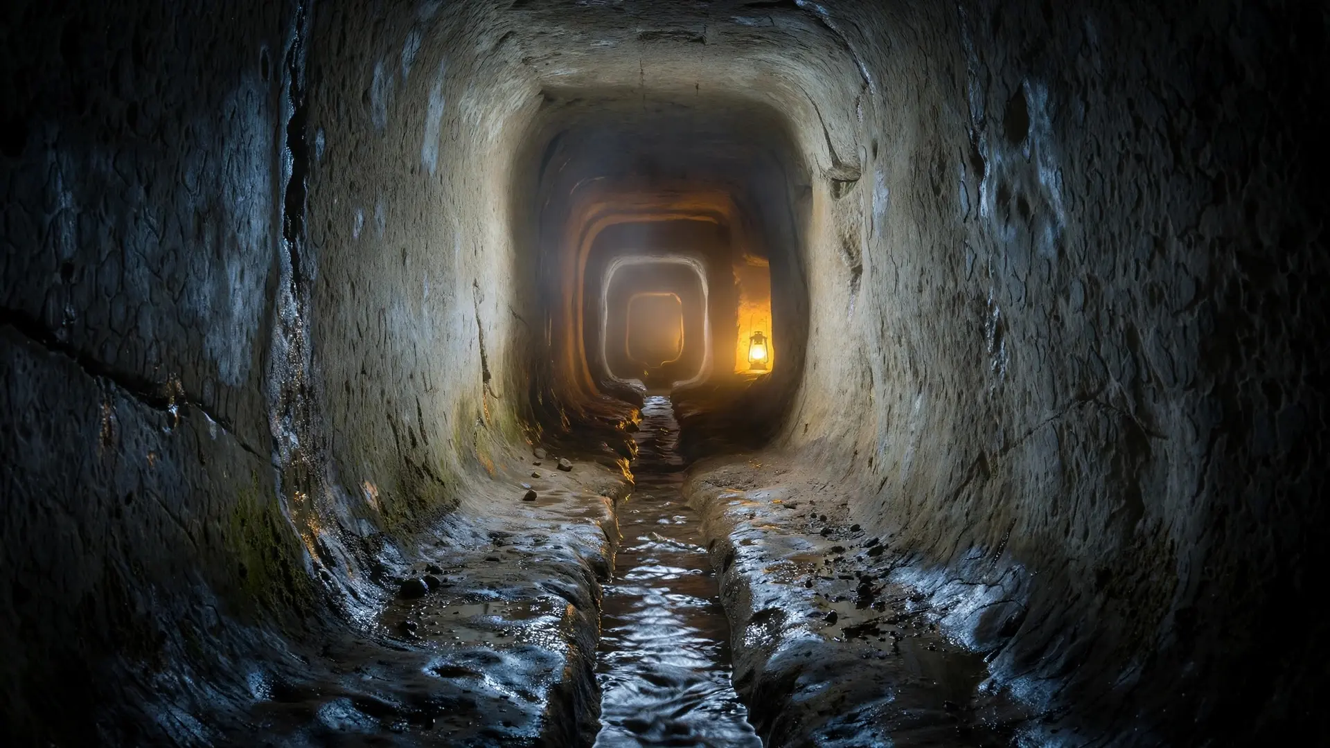
In the sixth century BC, the island city of Samos needed water, and its only good spring lay on the far side of a mountain. The engineer Eupalinos of Megara solved the problem in the boldest way available: he dug straight through the mountain. Two crews of stonemasons started from opposite sides, worked blind toward each other through more than a kilometre of solid rock, and met in the middle with only a small deviation from a straight line. The tunnel is 1,036 metres long and averages 1.8 metres high by 1.8 metres wide — room for two diggers to work side by side, and not much more. It runs about 180 metres below the summit of Mount Kastro and roughly 55 metres above sea level. The historian Herodotus, writing about a century later, counted it among the three greatest works of the Greek world, and he named its engineer: Eupalinos, son of Naustrophos, from Megara. UNESCO agrees with the ancient verdict, listing the tunnel with the Pythagoreion and Heraion of Samos as a World Heritage site and noting that its technological mastery served as a model for later engineering.
Why did Samos need a tunnel at all?
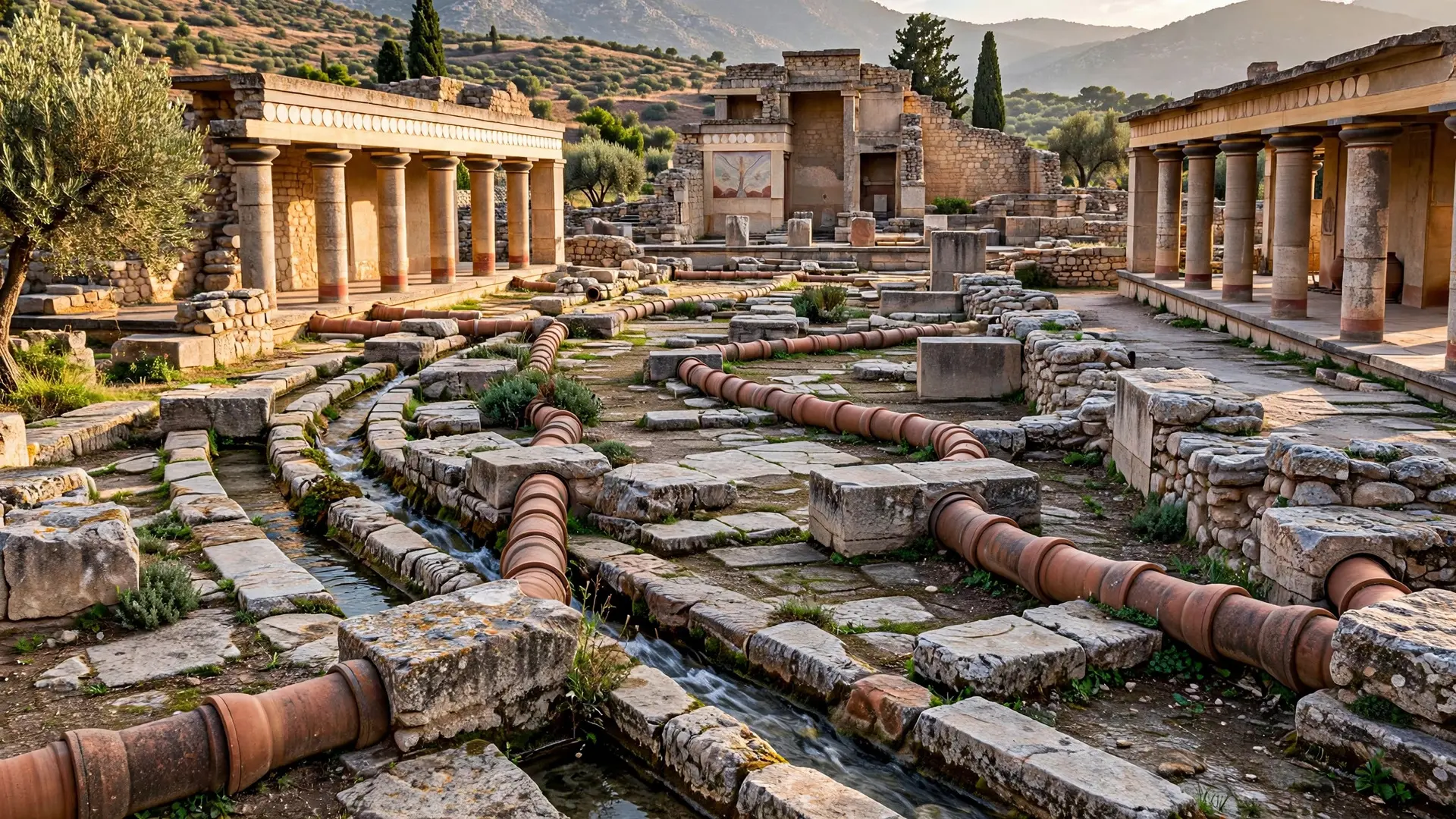
Samos in the sixth century BC was a major sea power, and its city had outgrown the wells and cisterns inside its walls. The best spring on the island, at Ayiades on the far side of Mount Kastro, discharged about 400 cubic metres of water a day. Getting that water to the city over the mountain would have been simpler — but also a strategic gift to any enemy. An exposed pipeline can be found and cut; a buried one cannot. So the water was hidden from the start: the spring was collected in a reservoir roofed with stone slabs, and from there an 890-metre buried clay pipe carried it to the tunnel's northern entrance. The tunnel itself was only the middle section of a longer system. Water entered at the north, travelled the 1,036 metres through the rock, then continued south through another buried channel to fountains in the city, where people collected it and carried it home. The whole aqueduct stayed in use for about 1,100 years. It finally failed not through collapse but through chemistry: the island's water is rich in calcium, and despite repeated cleaning, the clay pipes gradually clogged with mineral deposits until the system was abandoned. A Roman-era aqueduct later brought water from a different spring, and in the seventh century AD the tunnel's southern end served as a refuge from Persian and Arab raids.
How did two crews meet in the dark?
This is the part that still impresses engineers, because Eupalinos had none of the tools we would consider essential: no compass, no modern surveying instruments, no topographic maps, and no written geometry textbook — Euclid's Elements would not appear for another two centuries. What he had was careful planning, simple measuring devices, and the principles of geometry as they were then understood. His first move was to survey over the mountain rather than through it. He laid out a "mountain line" across the summit at its most accessible point, then fixed a south line on one side and a north line on the other, each pointing straight into the rock. The crews then dug along those lines, checking that they stayed straight by sighting back toward their own tunnel entrances. Where the southern crew drifted westward, they cut a notch in the inside of the curve to restore the sight line — a correction still visible in the rock today. Eupalinos measured distance in units of 20.59 metres, marked by letters painted on the tunnel walls in alphabetical order at regular intervals. Those marks, along with the names of individual workers, are still there, a surveyor's notebook written on stone. Direction was set out in steps of 7.5 degrees, a twelfth of a right angle. When the northern crew, about 273 metres in, hit waterlogged ground and weak, muddy rock, he did not plough on regardless: he redirected the tunnel westward along a planned triangular detour, with angles of 22.5, 45 and 22.5 degrees, then steered it back east when the bad ground was behind them. Measuring errors made him overshoot slightly, and the course was corrected again. The meeting itself was engineered, not left to chance. Because two parallel tunnels can never meet, Eupalinos deliberately bent both headings near the rendezvous so that they would cross at nearly a right angle, widening the margin for error by about 17 metres. In the vertical plane he did something similar: he raised the roof of the northern tunnel by 2.5 metres near the join and lowered the floor of the southern tunnel by 0.6 metres, giving the two headings a taller target to hit. In the end, the precautions proved almost unnecessary — the closing error in height was only a few decimetres, and the horizontal deviation was small. Modern surveys disagree on the exact centimetres, which is why the Greek Ministry of Culture simply says the crews met "with only a small deviation from the straight line."
Progress was brutally slow. The archaeologist Hermann Kienast calculated that a crew could cut only 12 to 15 centimetres of rock per day. At that pace the tunnel took eight to ten years, dug with chisels and hammers in air thick with oil-lamp smoke. Inside the main corridor, the water itself ran in a separate trench dug along the floor, deepening from about 3.8 metres at the northern end to 8.9 metres at the southern end, with a gentle gradient of 0.6 percent to keep the water flowing. Clay pipe sections carried it the rest of the way to the city.
What do people get wrong about the tunnel?
The most common mistake is to call it a miracle of luck, as if two crews simply dug toward each other and happened to meet. The tunnel's own walls disprove that: the survey marks, the corrected curves, the triangular detour and the widened meeting zone are the visible traces of a plan that anticipated error and built in room for it. Eupalinos did not need to be perfect. He needed a method that worked even when he was not. A second misconception is that the tunnel is a single straight bore. It is not. The northern half wanders around bad ground, the southern half runs dead straight for about 390 metres and then stops short, and the two meet at a dog-leg bend rather than a clean junction. The zigzag near the meeting point is sometimes read as a series of mistakes; the likelier reading is that it is the plan itself, a deliberate funnel that guaranteed contact. The third misunderstanding is about what the tunnel was for. It was not a road or a mine or a monument. It was infrastructure, built to keep a city alive, and it did that job for eleven centuries — longer than most modern water systems will ever manage. When the tunnel was rediscovered in 1853 and cleared from 1882 onward, archaeologists found a working machine, not a ruin: pipes, channels, inspection shafts and survey marks, all still legible. The tunnel's lesson is not that ancient engineers were magicians. It is that patient geometry, applied over a decade in the dark, can move a mountain's water to a city's fountains — and keep it moving for a thousand years. The Greeks were not alone in moving water underground: the qanats of the ancient Near East used gently sloping tunnels to the same end, and the aqueducts of Rome later carried the idea to a continental scale. But Samos did it first through solid rock, from both ends, with nothing but sight lines, geometry and patience.
Frequently asked questions
How long did the Tunnel of Eupalinos take to build?
About eight to ten years. The crews worked with chisels and hammers by oil-lamp light, advancing only centimetres of solid rock per day.
Why was the tunnel dug underground instead of over the mountain?
Defence. A buried aqueduct could not easily be found or cut by an enemy besieging the city, so the water supply stayed safe in wartime.
Can you visit the Tunnel of Eupalinos today?
Yes. The Greek Ministry of Culture offers three visiting itineraries, including a full one-way walk of the 1,036-metre tunnel, booked in advance, with helmets provided and a guide.
Sources
- Ministry of Culture and Sports | Tunnel of Eupalinos, Hellenic Ministry of Culture and Sports
- Pythagoreion and Heraion of Samos, UNESCO World Heritage Centre
- The aqueduct of Eupalinos at Samos, Hydria Virtual Museum