What Is the Highest Capital City on Earth? La Paz, Bolivia
La Paz, Bolivia sits at 3,640 meters (11,942 feet), the highest capital city in the world. Why Bolivia has two capitals, and how the thin air shapes daily life.
Key takeaways
- La Paz, Bolivia, at 3,640 meters (11,942 feet), is the highest seat of government in the world.
- Bolivia has two capitals: La Paz hosts the executive and legislature, while Sucre, the constitutional capital, hosts the judiciary.
- Quito, Ecuador, at 2,850 meters (9,350 feet), sits about 790 meters below La Paz.
- El Alto International Airport, serving La Paz at 4,061.5 meters (13,325 feet), is the world's highest international airport.
- Founded in 1548 as Nuestra Señora de La Paz, the city sprawls across hillsides from about 3,250 to 4,040 meters.
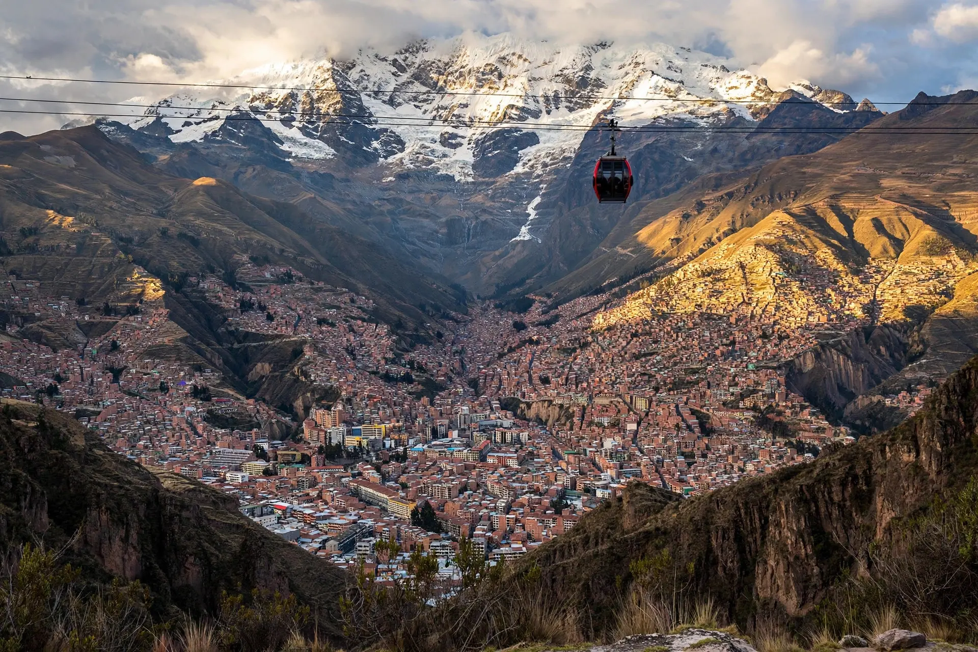
La Paz, Bolivia, at 3,640 meters (11,942 feet), is the highest seat of government on Earth. The twist: Bolivia officially has two capitals. La Paz hosts the presidency and congress, while Sucre, the constitutional capital, keeps the Supreme Court, a split dating to 1898.
- The commonly cited elevation is 3,640 m (11,942 ft), though the city sprawls across steep hillsides from about 3,250 to 4,040 m, so the altitude on any given street depends on where you stand. (Encyclopædia Britannica)
- La Paz holds the highest government seat in the world; the CIA World Factbook calls it the highest capital city, listing it at about 3,630 m. (Encyclopædia Britannica, CIA World Factbook)
- Bolivia's two-capital split dates to 1898, when the seat of national government was established in La Paz; Sucre remains the constitutional capital and home of the judiciary. (Encyclopædia Britannica)
- The city was founded in 1548 as Nuestra Señora de La Paz, "Our Lady of Peace," by the Spanish conquistador Alonso de Mendoza. (Encyclopædia Britannica)
- El Alto International Airport, about 8 miles (13 km) west of La Paz, stands at 4,061.5 m (13,325 ft), the highest international airport in the world. (Airports Worldwide)
- The 2024 census put the municipality of La Paz at 757,431 people; neighboring El Alto, at 885,825, has now overtaken it. (Instantáneas)
Why does Bolivia have two capitals?
Most countries settle the question once. Bolivia settled it twice. Sucre is the constitutional capital, the city named in the constitution and the seat of the judiciary, where the Supreme Court meets. La Paz is the administrative capital, home to the executive and legislative branches, and the place where the country's government actually works day to day. The split dates to 1898, when the seat of national government was established in La Paz after a period of civil conflict. Sucre never lost its constitutional status, so Bolivia has carried both ever since. The CIA World Factbook lists the pairing plainly: La Paz as the administrative capital, Sucre as the constitutional capital. La Paz is not the constitutional capital but the working seat of government, and that distinction is exactly why it, and not Sucre, takes the altitude crown. The city itself is older than the arrangement by centuries. Founded in 1548 as Nuestra Señora de La Paz by the Spanish conquistador Alonso de Mendoza, it grew inside a steep canyon carved into the eastern edge of the Andes, the long mountain chain that defines South America's western skyline.
What does 3,640 meters do to a city?
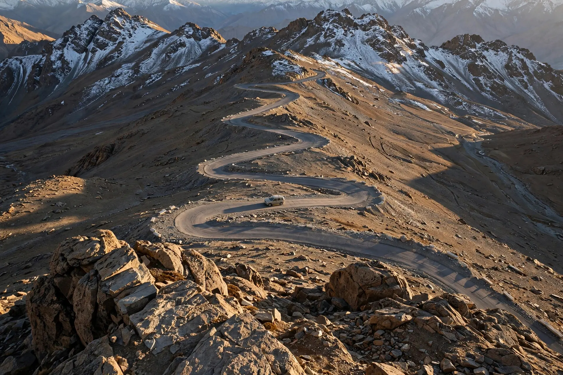
It makes altitude a local variable. Because La Paz is stacked down canyon walls spanning roughly 3,250 to 4,040 m (10,663 to 13,255 ft), two neighborhoods can differ in elevation by more than the height of the world's tallest buildings. The 3,640 m figure is a representative headline, not a single true level. The thin air rewrites small daily rituals. Water boils at about 88°C (190°F) in La Paz rather than 100°C (212°F), so tea brews cooler and cooking times shift, one of the everyday quirks the Royal Meteorological Society flags for visitors. The 2024 census added a demographic twist as well: the municipality of La Paz counted 757,431 residents, while neighboring El Alto reached 885,825 and overtook it, leaving La Paz as Bolivia's third-largest municipality. And the city's gateway sits even higher than the city: El Alto International Airport, about 8 miles (13 km) west, operates at 4,061.5 m (13,325 ft), the highest international airport anywhere. For an even higher ribbon of tarmac, there is Umling La, the world's highest motorable road.
How does La Paz stack up against other high capitals?
The high-altitude ladder, with each rung confirmed by official or reference sources:
| Place | Elevation | Standing |
|---|---|---|
| El Alto International Airport (serving La Paz) | 4,061.5 m (13,325 ft) | world's highest international airport |
| La Paz, Bolivia | 3,640 m (11,942 ft) | world's highest seat of government |
| Quito, Ecuador | 2,850 m (9,350 ft) | capital of Ecuador, about 790 m below La Paz |
| The gaps, worked out from the published figures: La Paz sits 790 m above Quito (3,640 minus 2,850), which converts to about 2,592 ft. The airport sits 421.5 m above the city it serves (4,061.5 minus 3,640), about 1,383 ft. Method: simple subtraction of the headline figures, converted at 3.28084 feet per meter and rounded to the nearest foot. The results inherit the roughness of the inputs, especially La Paz's, which shifts by hundreds of meters from one neighborhood to the next. In other words, flying into La Paz means landing more than 400 meters above the capital itself, then descending into it. |
What do people get wrong about the world's highest capital?
First, the name on the door. Asking "isn't Sucre the capital?" is half right: Sucre is the constitutional capital, but La Paz is where the government sits, and altitude records follow the seat of government. Second, the precision of the famous number. La Paz is not a flat plain at 3,640 m; it is a vertical city, and the true elevation under your feet can be hundreds of meters higher or lower. Third, the idea that it is the highest city of any kind. It is the highest national capital, but plenty of non-capital settlements sit higher, including, fittingly, its own airport. La Paz earns its title the honest way: it is a large, working capital where altitude shapes daily life, from the boiling point of tea to the approach path of every arriving flight. It is also a reminder that superlatives need careful definitions: highest capital, not highest city, and seat of government, not constitutional capital. The record belongs to La Paz because such records follow where governments actually work. And the superlatives do not stop at the city limits: Lake Titicaca is the highest navigable lake on Earth, while at the opposite extreme sits Chile's Arica, one of the driest cities on Earth. How we made this article: FactSpire researched and drafted it with AI assistance and checked every fact against the sources listed above.
Frequently asked questions
Is La Paz or Sucre the capital of Bolivia?
Both, in different senses: La Paz is the administrative capital and seat of government, hosting the executive and legislative branches, while Sucre is the constitutional capital and seat of the judiciary, home to the Supreme Court. The working government moved to La Paz in 1898.
How much higher is La Paz than Quito?
La Paz is usually quoted at 3,640 meters (11,942 feet), while Quito, Ecuador, sits at 2,850 meters (9,350 feet). The gap is 790 meters, or about 2,592 feet. Without La Paz in the picture, Quito's 2,850 meters would top the ranking outright.
Does water really boil at a lower temperature in La Paz?
Yes. At La Paz's altitude, water boils at about 88°C (190°F) instead of 100°C (212°F), so a cup of tea brews cooler and quicker than at sea level. The Royal Meteorological Society lists it among the everyday quirks of life in the world's highest capital.
What is the highest airport in the world?
El Alto International Airport, serving La Paz from about 8 miles (13 km) to the west, stands at 4,061.5 meters (13,325 feet), making it the highest international airport. That is 421.5 meters (1,383 feet) above La Paz itself, which means flights land more than 400 meters above the capital they serve.
Sources
- Bolivia Government 2023, CIA World Factbook (via Theodora.com)
- La Paz, Encyclopædia Britannica
- Quito, Encyclopædia Britannica
- A traveller's guide to La Paz, Bolivia, Royal Meteorological Society
- El Alto International Airport, Airports Worldwide
- Censo 2024 Bolivia: El Alto supera a La Paz en población, Instantáneas