The Strait of Gibraltar: Where Two Seas Meet
Fourteen kilometers of water separate two continents — and two seas that flow in opposite directions, one above the other, in the planet's elegant crossing.
Key takeaways
- Only about 14 km wide at its narrowest, the strait carries two seas in opposite directions: lighter Atlantic water flows in at the surface while saltier Mediterranean water exits below.
- The Mediterranean is saltier because it loses more water to evaporation than it gains from rain and rivers; the strait's two-layer exchange is how the basin keeps its water balance.
- About 5.33 million years ago, Atlantic water broke through the strait and refilled a nearly dried-out Mediterranean in as little as a few months, in an event called the Zanclean flood.
- Where the two waters meet, nutrient-rich deep water wells up, drawing Atlantic bluefin tuna and about 50 resident orcas that hunt them each spring.
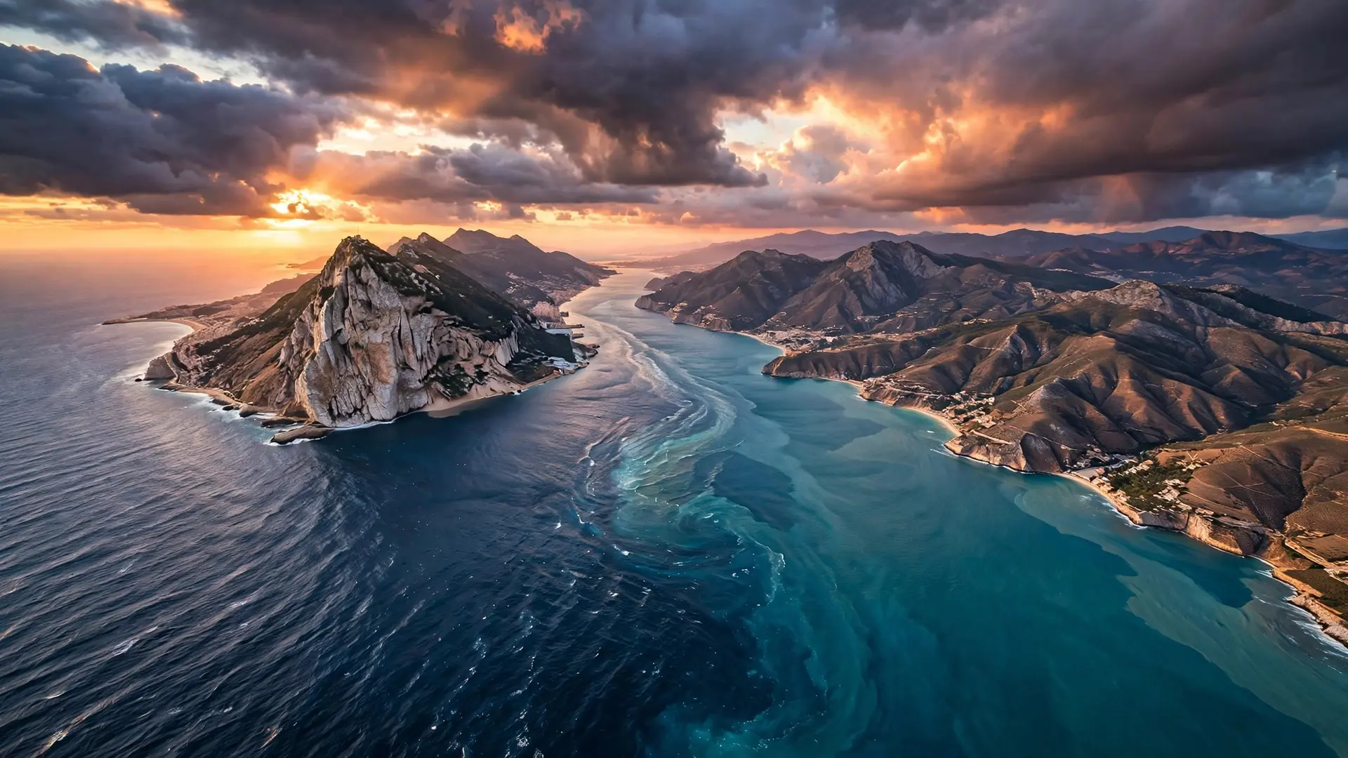
At the narrowest point of the Strait of Gibraltar, barely 14 kilometers of blue water separate Europe from Africa. But the real divide is invisible: beneath the surface, two seas pass through each other in opposite directions at the same time. Fresher, lighter Atlantic water slides eastward into the Mediterranean along the surface, while saltier, denser Mediterranean water creeps westward back into the Atlantic underneath it. It is one of the planet's most elegant pieces of plumbing — and once, millions of years ago, this same gap was the spillway for a flood that refilled an entire sea.
Why do the Atlantic and Mediterranean flow in opposite directions?
The answer starts with evaporation. The Mediterranean loses more water to the hot sun than it receives from rain and rivers, and it has no other outlet to the ocean. As water evaporates, the salt stays behind, making Mediterranean water saltier — and therefore denser — than the Atlantic water outside. The result is a permanent two-layer exchange through the strait. The upper layer, about 150 meters thick, carries relatively fresh Atlantic water eastward into the Mediterranean at speeds of roughly one to three knots. Below it, separated by a tilted boundary called the Atlantic–Mediterranean Interface, colder and saltier Mediterranean water flows westward back out to the Atlantic at about one knot. The interface slopes upward toward the northeast, and its shallow position drives upwelling of nutrient-rich deep water in the eastern part of the strait — a detail that matters enormously for the life that gathers here. The exchange is throttled by the shape of the seafloor. The strait's shallowest points — the Camarinal Sill at around 290 meters and the Espartel Sill at about 360 meters — act like underwater dams that regulate how much water can pass in each direction. If the strait were to close completely, the Mediterranean would lose its only connection to the world ocean. Geologists estimate it would take on the order of a thousand years of evaporation to dry the basin out almost completely. That is not a hypothetical scenario — it has already happened once.
Did a flood really refill the entire Mediterranean Sea?
About 5.96 million years ago, the precursor of the strait closed and sealed the Mediterranean off from the Atlantic, triggering what scientists call the Messinian salinity crisis. Cut off from the ocean, the sea began to evaporate under the warm climate of the time. Within roughly a thousand years, most of the basin had dried into a deep, salty desert floor — in places three to five kilometers below modern sea level — dotted with hypersaline lakes not unlike today's Dead Sea, where evaporation has also concentrated salt to extraordinary levels. Then, around 5.33 million years ago, the barrier gave way. Atlantic water found its path through what is now the Strait of Gibraltar, and the Mediterranean began to refill in an event geologists call the Zanclean flood. According to research led by Daniel Garcia-Castellanos and published in Nature in 2009, the refilling was astonishingly abrupt: although the first trickles may have lasted thousands of years, about 90 percent of the water was transferred in a period of just a few months to two years. At its peak, the flood roared through the strait at roughly 100 million cubic meters per second — about a thousand times the flow of the Amazon River — and Mediterranean sea levels may have risen by more than 10 meters per day. The flood left its signature carved into the rock. Seismic surveys reveal a 200-kilometer-long erosion channel across the strait, with incisions more than 250 meters deep, carved by the rushing water as it poured down into the empty basin. The reconnection ended the salinity crisis and opened the Pliocene epoch. Today, when you watch the two currents gliding past each other in the strait, you are watching the plumbing that makes that reconnection permanent — and that would one day seal the sea off again if the strait ever closed.
What thrives where the two seas collide?
Where the two water masses meet, the strait becomes a biological crossroads. The upwelling that the two-layer circulation triggers pushes nutrient-rich deep water toward the surface in the eastern strait, feeding plankton blooms that ripple up the entire food chain. Every spring, Atlantic bluefin tuna migrate through these narrow waters on their way to their Mediterranean spawning grounds, and they are followed by one of the strait's most remarkable residents: a population of roughly 50 orcas, organized into five pods, that hunt the tuna here season after season.
The mixing zone supports extraordinary biodiversity — so much that marine researchers have described many newly discovered species from the strait's northern sector, and Spain has declared a marine protected area covering nearly 40 kilometers of its coastline. But the same narrowness that concentrates life also concentrates ships. Around 300 vessels pass through the strait every day, about 100,000 a year, making it one of the busiest shipping lanes in the world. The traffic is heavy enough that Spain has set a 13-knot speed limit in parts of the strait to protect marine mammals from collisions — a reminder that this is a working waterway as well as a wilderness.
Why has this narrow gap shaped three thousand years of history?
Long before oceanographers understood the two-layer current, sailors knew the strait as the edge of the known world. The ancient Greeks and Phoenicians called the rocky headlands on either side the Pillars of Hercules — Calpe, the Rock of Gibraltar, on the European side and Abyla, or Jebel Musa, on the African side — marking the boundary beyond which lay the unknown Atlantic. Until the Suez Canal opened in 1869, the strait was the Mediterranean's only doorway to the ocean, which made controlling it a prize worth fighting over for three millennia, from Phoenician traders to the British garrison that has held the Rock since 1704. That strategic weight has never faded. During the Second World War, both Allied and Axis navies watched the strait as a chokepoint for everything moving between the Atlantic and the Mediterranean. Today the waterway carries the trade of three continents: container ships, oil tankers, and ferries streaming between Algeciras, Tangier, and the wider world. Few stretches of water have been measured so precisely — oceanographers still moor instruments across the strait to track the inflow and outflow — and few have been fought over so long. All of it flows through a gap you could swim across in a long afternoon, where two seas move in opposite directions, stacked one atop the other. The Strait of Gibraltar is proof that geography does not need size to matter. Fourteen kilometers of water, a few hundred meters of depth, and a difference in salinity are enough to couple two ocean basins, feed one of Europe's richest marine ecosystems, and anchor the economy and security of an entire sea. Stand on the Rock on a clear day and you can see Africa; beneath you, the Atlantic and the Mediterranean are passing each other like strangers in a hallway, in opposite directions, on their way to different destinations. The drying of the Aral Sea shows what happens when a sea loses its inflow; the depths of the Mariana Trench show how deep water carries the ocean's memory. Gibraltar is where the two sides of that story meet.
Frequently asked questions
How wide is the Strait of Gibraltar at its narrowest point?
The strait is about 14 km wide at its narrowest point, the Tarifa Narrow, separating Spain from Morocco. It is roughly 65 km long from the Atlantic to the Mediterranean.
Why do the waters in the strait flow in opposite directions?
High evaporation makes Mediterranean water saltier and denser than Atlantic water. Lighter Atlantic water flows eastward into the Mediterranean at the surface, while the denser, saltier Mediterranean water flows westward back to the Atlantic underneath it.
Did the Mediterranean Sea really dry up and refill?
Yes — during the Messinian salinity crisis, roughly 5.96 to 5.33 million years ago, the Mediterranean nearly dried out. The Zanclean flood then refilled it catastrophically, with sea levels rising more than 10 metres per day at the peak.