Why Does the US-Canada Border Have a Cleared Strip?
Why does the US-Canada border have a cleared strip? The 6.1-meter (20-foot) vista keeps the boundary visible; a commission has maintained it since 1908.
Key takeaways
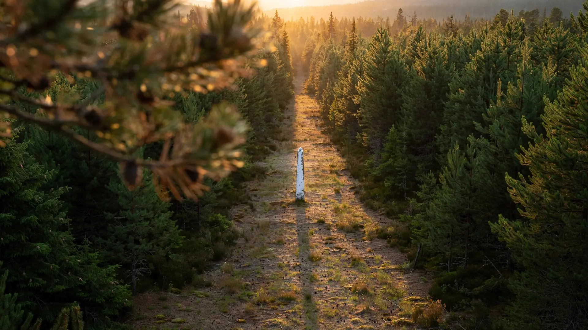
- The vista is a 6.1-meter (20-foot) cleared swath, 3 meters (10 feet) on each side of the boundary, kept open so the border stays visible on the ground.
- The International Boundary Commission, created by treaty in 1908 and made permanent in 1925, maintains the strip and more than 8,000 markers.
- The boundary runs 8,891 kilometers (5,525 miles) from the Atlantic to the Pacific, recorded on 256 official boundary maps.
- Each country funds its own commissioner and crews, and nothing may be built within 3 meters (10 feet) of the line without the Commission's permission.
Because a visible border is a peaceful border. The 6.1-meter (20-foot) cleared strip, called the border vista, exists so the line between the US and Canada can be seen on the ground from horizon to horizon. Two commissioners, one American and one Canadian, have kept it cut since 1908 — not with fences or patrols, but with chainsaws, paint and markers.
- The vista extends 3 meters (10 feet) on each side of the boundary, forming a 6.1-meter (20-foot) cleared swath through forests, mountains, wetlands and highlands. (The Boundary, International Boundary Commission)
- The boundary itself runs 8,891 kilometers (5,525 miles) from the Atlantic Ocean to the Pacific Ocean and is recorded on 256 official boundary maps. (The Boundary, International Boundary Commission)
- The Commission inspects and maintains more than 8,000 monuments and reference points, plus 1,000 survey control stations along that line. (The Boundary, International Boundary Commission)
- The Commission was created by a treaty signed on June 4, 1908, and made a permanent body by a second treaty between the US and Canada in 1925. (The Commission, International Boundary Commission)
- Each country appoints its own commissioner with a separate budget and staff: the American commissioner is appointed by the US president, while Canada's commissioner is the Surveyor General of Canada. (The Commission, International Boundary Commission)
- On the Canadian side, Natural Resources Canada hires contractors for the cutting, most recently through a 10-month vegetation-clearing contract starting May 5, 2025. (Vista Clearing tender notice, Government of Canada)
What Exactly Is the Border Vista?
In the Commission's own words, this is what you see when you "look along the International Boundary between Canada and the United States in any forested area": "a 6 metre or 20 foot cleared swath stretching from horizon to horizon, dotted in a regular pattern with white markers." Over mountains, down cliffs, along waterways and through prairie grasses, the cut runs the full 8,891 kilometers (5,525 miles) of the boundary.
The clearing is not decoration. The Commission states that the vista "must be entirely free of obstruction and plainly marked for the proper enforcement of the laws of the two nations." Customs, immigration and other laws all depend on everyone, from officers and hikers to landowners, being able to see exactly where one country ends and the other begins. Straight-line sections of the border, like the 49th parallel, would be meaningless on the ground without it: a line of latitude is invisible until someone cuts it into the trees. (For why so many borders were drawn with a ruler, see why some borders are straight lines.)
Why Did Two Countries Agree to Clear-Cut Their Border?
The short version: the border kept disappearing. Starting with the Treaty of Paris in 1783, Britain, and later Canada, and the United States spent a century drawing and redrawing the line, including the Webster-Ashburton Treaty of 1842 for the eastern section. By 1874 most of the boundary had been surveyed and marked. Then the forest took it back. Between 1874 and 1908 the boundary became overgrown, its monuments were obliterated, and both governments concluded the demarcation had to be re-established before uncertainty could harden into dispute. The treaty of June 4, 1908 created the International Boundary Commission for exactly one job: the complete re-establishment and mapping of the boundary from the Atlantic to the Pacific. Crews began installing metal markers that same year, according to Bryan Cloutier, an engineering technician with the Commission's Central Regional Field Office in Minnesota. When it became clear the work would never truly be finished, a second treaty in 1925 made the Commission permanent: a binational body with one American and one Canadian commissioner, each responsible for their own budget, equipment and staff. The result is a boundary the Commission describes as tranquil and undefended, yet carefully maintained. No wall, no fence: just a visible line.
How Is the Strip Actually Maintained?
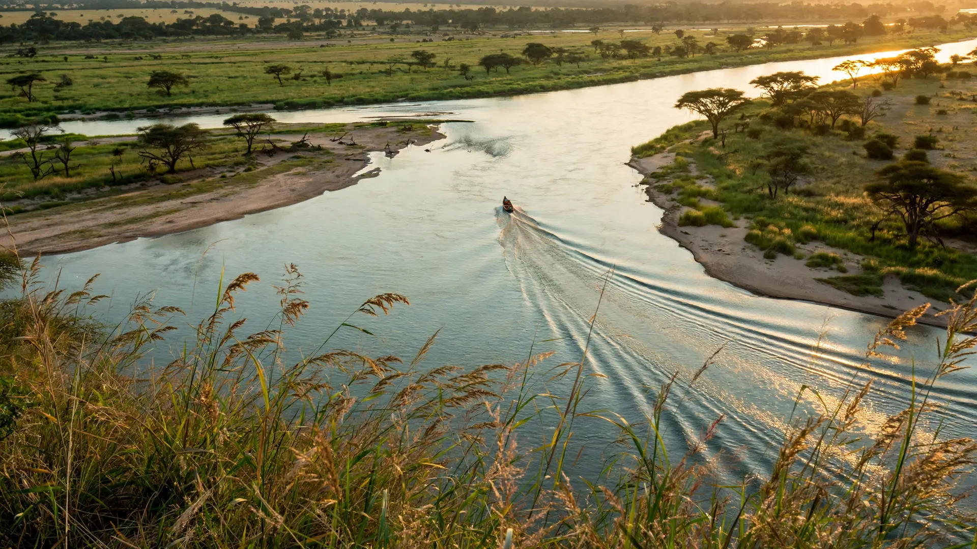
With boats, chainsaws and paint. Every summer, Commission crews canoe into roadless wilderness carrying the tools and materials needed to repair or replace markers, which take constant punishment from falling debris, winter ice and storms. Modern crews feed their measurements into geographic information systems, steadily tightening the precision of a line first laid out with 19th-century instruments.
The standard vista is 3 meters (10 feet) on each side of the line, but in a few key places the swath is wider. Along historic portage trails, markers stand at shoulder height, some conical and some obelisks, built in segments so they can be carried in by canoe. The vista is also legally protected: the Commission controls all works done within it, so nothing may be built within 3 meters (10 feet) of the line without its authorization. That rule makes buildings like the Haskell Free Library, which straddles the border remarkable exceptions. Much of the heavy clearing is contracted out. On the Canadian side, Natural Resources Canada issues tenders for vegetation and vista clearing services (the 2025 contract ran 10 months) because keeping thousands of kilometers of forest corridor open is far more than two small commission staffs can cut on their own.
What Do Most People Get Wrong About the Cleared Strip?
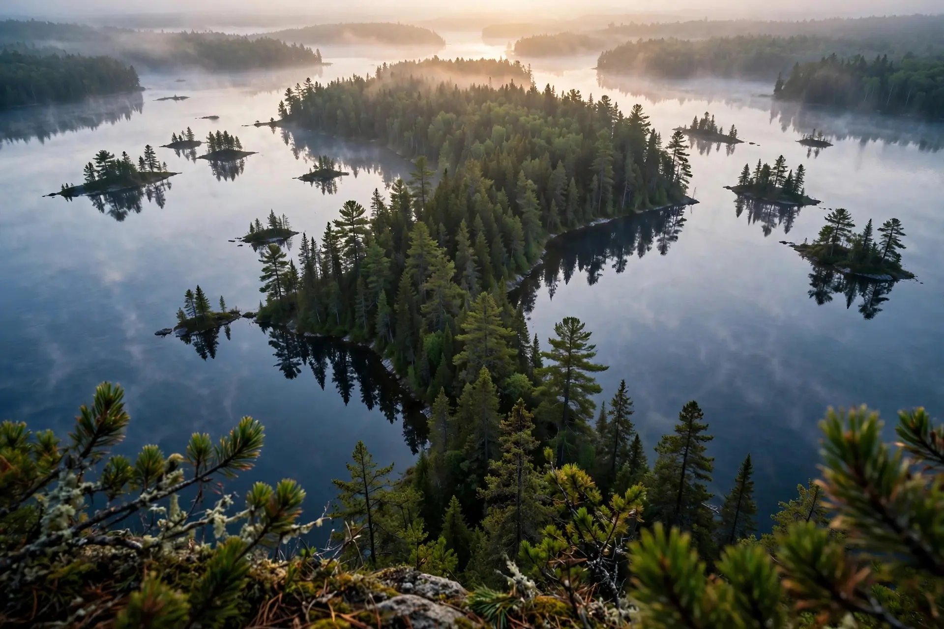
First, that it is a barrier. It is the opposite of one. Compare it with the Korean Demilitarized Zone, the most fortified border on Earth: the US-Canada vista has no mines, no wire and no guard towers. Its purpose is clarity, not control. A line both countries can see is a line neither country has to fight over. Second, that the strip is a no-go zone. It is not fenced off. In places like the Boundary Waters between Minnesota and Ontario, travelers paddle and portage along the boundary itself under a mutual agreement between the two countries, needing a permit only to venture further. The vista tells you exactly where the border is. Stepping across it is still an international crossing, with all the usual rules: the strip marks the line, it does not erase it. Third, that all 8,891 kilometers are mowed like a lawn. Where the boundary runs through water (the Great Lakes and the rivers and lakes of the Boundary Waters), there is nothing to cut. There, short metal reference markers set into granite and chains of monuments do the marking instead: one stretch of historic portages holds about 700 reference monuments alongside 9 full boundary monuments.
A century of the line, in brief
| Year | What happened |
|---|---|
| 1783 | The Treaty of Paris begins the long job of defining the border |
| 1842 | The Webster-Ashburton Treaty settles the eastern section |
| 1874 | Most of the boundary has been surveyed and marked |
| 1908 | A new treaty creates the International Boundary Commission; metal markers go in |
| 1925 | A second treaty makes the Commission a permanent body |
| 2025 | Canada tenders a 10-month vista-clearing contract: the work continues |
| Every cleared swath is a practical argument: borders cause the least trouble when nobody has to guess where they are. | |
| How we made this article: FactSpire researched and drafted it with AI assistance and checked every fact against the sources listed above. |
Frequently asked questions
How wide is the cleared strip on the US-Canada border?
The strip, called the border vista, is 6.1 meters (20 feet) wide in total: 3 meters (10 feet) cleared on each side of the boundary line. In forested areas it appears as a straight treeless corridor dotted with white markers, and in a few key places, such as historic portage trails, the swath is cut even wider.
Who actually cuts the border vista?
The binational International Boundary Commission, through one American and one Canadian commissioner who each run their own budget, equipment and staff. Much of the physical clearing is contracted out: on the Canadian side, Natural Resources Canada tenders multi-month vegetation-clearing contracts, most recently a 10-month contract starting in May 2025.
Can you walk across the cleared strip?
The strip is not fenced off, and in places like the Boundary Waters between Minnesota and Ontario, travelers paddle and portage along the boundary under an agreement between the two countries. But the vista only marks the line: stepping across it is still an international border crossing, and the usual entry rules apply.
Why isn't the entire border cleared like this?
Because much of the 8,891-kilometer boundary runs through water, including the Great Lakes and the lakes and rivers of the Boundary Waters, where there is no forest to cut. On those stretches, metal reference markers set into rock and a chain of monuments mark the line instead of a cleared corridor.
Sources
- The Boundary, International Boundary Commission
- The Commission, International Boundary Commission
- Vista Clearing – International Boundary, Government of Canada (CanadaBuys)
- How is the international border marked in the BWCA?, Quetico Superior Wilderness News