Why Is There No Road Across Panama's Darien Gap?
The Pan-American Highway stops at Yaviza and restarts at Turbo in Colombia. Rainforest, swamps, disease fears and indigenous opposition kept the gap roadless.
Key takeaways
- The Darien Gap is the only break in the Pan-American Highway, between Yaviza in Panama and Turbo in Colombia.
- Steep mountains, swamps, heavy rain and hundreds of rivers make road building exceptionally difficult there.
- Fear that foot-and-mouth disease would spread north helped halt construction for nearly two decades.
- Indigenous Embera-Wounaan and Guna communities opposed a road that would disrupt their lands and cultures.
There is no road across Panama's Darien Gap because building one would mean cutting through one of the hardest landscapes in the Americas, against the wishes of the people who live there, and against decades of environmental and health objections. The Pan-American Highway, dreamed up as a continuous route from Alaska to Tierra del Fuego, simply stops. It ends at Yaviza in Panama, and it restarts at Turbo in Colombia, leaving about 100 kilometres of rainforest, swamp, and mountains in between. Drivers cannot cross. They must ship their vehicles around the gap, or not go at all. That missing stretch is not a minor oversight. It is the only break in a highway system tens of thousands of kilometres long, and it has survived a century of plans, funding, lawsuits, and political speeches. Understanding why it survives means looking at the ground itself first, and then at the people, diseases, and politics layered on top of it.
What exactly is the Darien Gap?
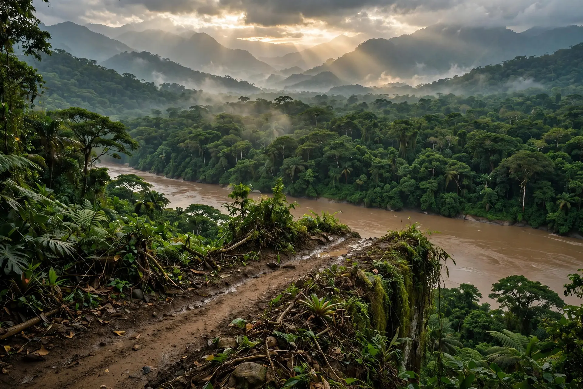
The Darien Gap is the roadless stretch of jungle and wetland where Panama meets Colombia, at the narrow waist where Central America joins South America. On the Panamanian side, the paved road runs as far as Yaviza, a town on the edge of the forest. On the Colombian side, the road reaches Turbo, near the Caribbean coast. Between them lies terrain that rises from valley floors about 60 metres above sea level to peaks of 1,845 metres at Cerro Tacarcuna, in the Serrania del Darien. Much of the Panamanian side falls inside Darien National Park, Panama's largest national park, covering about 5,790 square kilometres. UNESCO inscribed it on the World Heritage List in 1981, recognising a landscape of exceptional biodiversity. The park holds lowland and highland rainforest, mangroves, swamps, and mountain ranges, and it forms a bridge between the wildlife of two continents. Harpy eagles, jaguars, ocelots, tapirs, and hundreds of bird species live there, alongside the Embera and Wounaan peoples, who have inhabited the region for centuries. That combination, a globally important forest plus long-settled communities, is central to the road's story. The gap is not empty land waiting for asphalt. It is a working landscape, ecologically and culturally.
Why is the terrain so hard to build through?
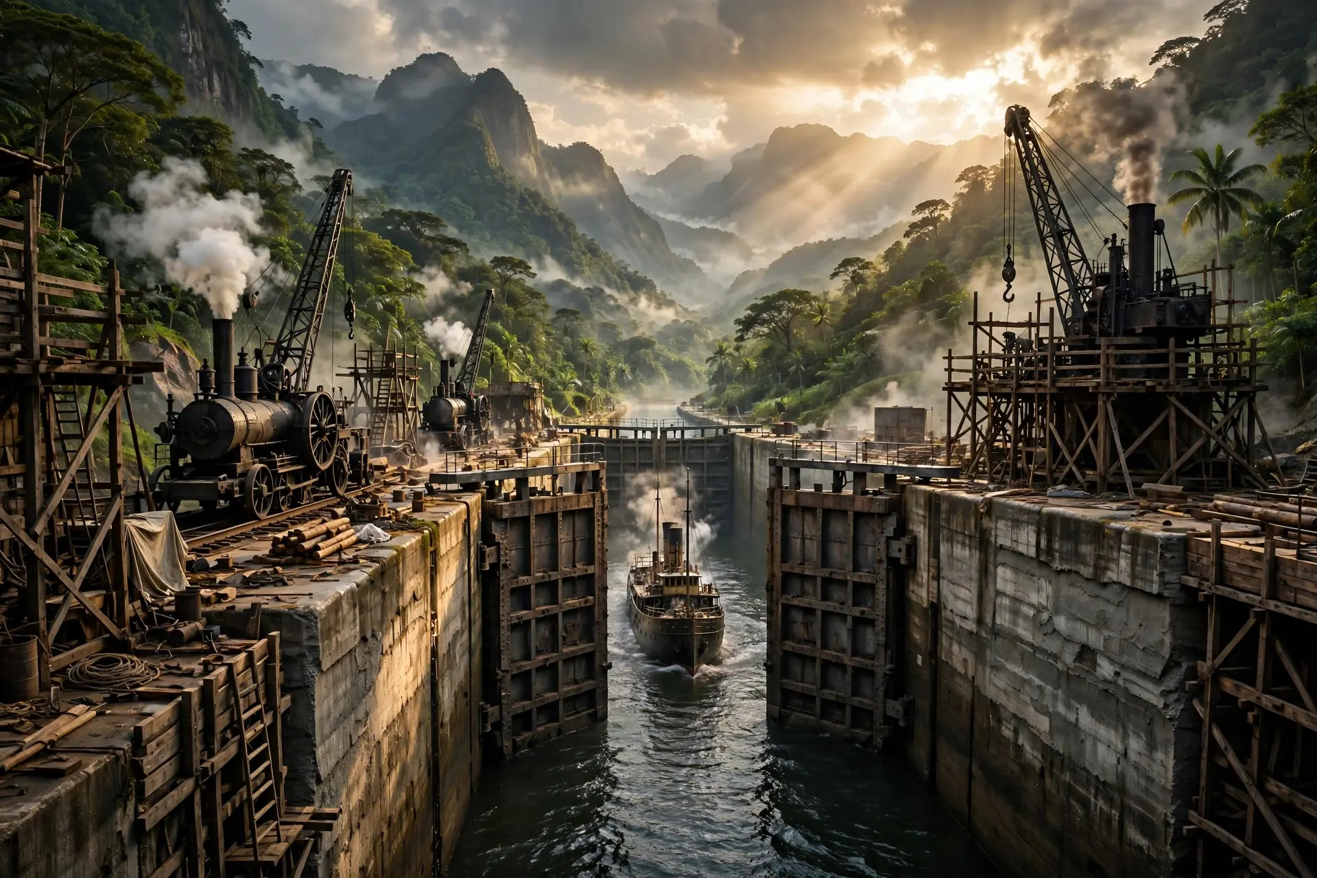
The engineering challenge alone would daunt most road builders. Big Think, drawing on scholar Shawn W. Miller, lists steep mountains, incessant seasonal rain, unstable soils, hundreds of rivers and streams, and a broad river basin known as the Atrato Swamp, which has no discernible bedrock on which to build what would have to be the world's longest bridge. In other words, the problem is not one obstacle but a sequence of them, each expensive and each made worse by rain.
Roads in rainforest also behave differently from roads elsewhere. Cutting a corridor through dense forest changes drainage, invites erosion, and opens access for logging and farming along the route. In the Darien, extending the highway as far as Yaviza was followed by severe deforestation alongside the route within a decade. The climate compounds the difficulty. Heavy rain turns dirt tracks to mud, swells rivers, and washes out foundations. Maintenance in such conditions is not a one-off cost but a permanent commitment, and a road that cannot be maintained reliably is of limited use to anyone. Engineers could probably overcome these problems eventually, as Big Think notes, given enough money and time. But the question has never been only whether the road can be built. It is whether it should be, and who would pay the price.
How did disease stop the highway?
The most surprising obstacle was not mud or mountains but cattle disease. In the 1970s, when a United States-funded effort to complete the highway was under way, the Sierra Club sued the United States Department of Transportation, the project's primary funder. The environmental case argued that the highway would be a disaster for the gap's wilderness and its indigenous people. The winning argument, however, turned on foot-and-mouth disease, also called hoof-and-mouth disease. The fear was that a road would provide a corridor for infected cattle, or for the virus itself, to travel north from South America into Central and North America, where the disease had been eradicated. Federal judges were persuaded, and the threat of the disease shut down highway construction for nearly two decades. Planning that had begun in 1971 with United States funding was halted in 1974 after environmental concerns were raised, and the Department of Agriculture blocked further United States support in 1978 with the aim of preventing the disease's spread. The disease argument eventually faded. In 1992, the United States Department of Agriculture declared South America free of foot-and-mouth disease, and the legal injunction on funding was removed. But by then, as Big Think puts it, the generous spirit of Pan-Americanism had died. The political moment had passed, and other objections had hardened in its place. A road that had been blocked for health reasons now faced a different set of opponents, and no new coalition emerged to push it through.
What do the people who live there say?
Indigenous opposition has been consistent throughout the story. The Embera-Wounaan and Guna peoples, among the communities living in the region, have expressed concern that a road would erode their cultures by destroying food sources, opening their lands to colonisation, and bringing slash-and-burn farming and unplanned settlement. A United Nations agency reported in 1994 that the road and subsequent development would cause extensive environmental damage, reinforcing those concerns with an international assessment.
These are not abstract worries. In a forest economy, a road changes who can reach what. It brings markets, but it also brings land pressure, and for communities whose land rights and livelihoods depend on forest that is intact, that trade is rarely equal. The National Parks Association notes that Darien National Park already faces illegal logging, poaching, and land encroachment despite its protected status. A highway would multiply the entry points for all three. Panamanian politics added another layer. For many Panamanian voters, the gap functions as a popular border fence, a natural barrier against an influx of undocumented migrants from Colombia. Further north, the United States came to see a completed highway as an artery along which guerrillas, narcotics, and migrants could travel. Panama itself was once part of Colombia, gaining independence in 1903, and the forest barrier has long carried symbolic weight as a line that is hard to cross. A road would erase that line, and not everyone on either side wants it erased.
Why does the gap still matter today?
The Darien Gap has become, paradoxically, both a barrier and a crossing. No road runs through it, yet tens of thousands of migrants have crossed it on foot in recent years, enduring jungle, rivers, and criminal gangs. That human flow has made the region more visible and more contested, but it has not produced a road. If anything, it has strengthened the case of those who argue that opening the forest would bring more harm than benefit, while also showing that a lack of asphalt does not stop movement. It merely makes movement more dangerous. Proposals have not vanished entirely. In recent decades, engineers have studied combinations of bridges and tunnels that would allow transport through the region while bypassing environmentally sensitive areas. Ferry services between Colombia's Caribbean coast and Panama have also been proposed as an alternative to a highway, though past services were suspended because they were unprofitable. None of these ideas has yet overcome the same coalition of objections that stopped the highway in the 1970s: the forest, the wildlife, the indigenous communities, the disease risk in its historical form, and the politics of a border that many prefer to keep difficult. The gap also matters as a contrast to other border oddities, places where geography and politics have drawn lines that look strange on a map but make sense on the ground. Borders are often imagined as lines that roads should follow or cross, a question explored in why some borders run straight. The Darien Gap shows the opposite: a place where the absence of a road is itself the border, maintained by nature and defended by people. For now, the answer remains no. The Pan-American Highway still ends at Yaviza, and travellers heading south must find another way around. The forest between Panama and Colombia remains roadless, not because engineers gave up, but because, at every decisive moment, the costs of paving it have outweighed the benefits for enough of the people who would have to live with the result. The gap endures as a reminder that some of the most consequential lines on a map are the ones where nothing was built at all.
Frequently asked questions
How wide is the Darien Gap?
The straight-line distance between the road ends at Yaviza in Panama and Turbo in Colombia is about 100 kilometres, but the roadless terrain of rainforest, swamp and mountains is far harder to cross than that figure suggests.
Has anyone tried to build the road?
Yes, repeatedly. Planning with United States funding began in 1971 but was halted in 1974, and a further effort in the 1990s also stalled. Environmental, health, indigenous and political objections have blocked every attempt so far.
Is the Darien Gap a national park?
Much of the Panamanian side lies in Darien National Park, inscribed on UNESCO's World Heritage List in 1981. It is Panama's largest national park and one of the most biodiverse places in the region.
Sources
- What happened to the dream of the Pan-American highway?, Big Think
- Mind the Darién Gap, Migration Bottleneck of the Americas, Center for Strategic and International Studies
- Darién National Park, Visit Centroamérica